Name
Pilā Qal’eh پیلا قلعه
Map
Historical Period
Iron Age, Sasanian, Islamic
History and description
Pila Qal’eh is only 500 m east of Marlik, in the Gohar Rud valley in the region of Deylamān. The archaeological site in the form of a conical mound lies on top of a natural hill with an approximate height of 25 m above the surrounding area (fig. 1).
Limited archaeological excavations in 1962 revealed that the mound had a long sequence from the late second millennium B.C. to the late Sasanian/early Islamic period during which a mud-brick fort was built on top of the mound. According to Ezatollah Negahban’s brief report, three main construction levels were recognized at Pilā Qal’eh. A stratigraphic trench dug on the western slope of the mound revealed “seventeen levels and sub-levels.” The topmost layers of the mound. Levels 1 to 7 produced materials earlier than Marlik, i.e. the second millennium B.C. Levels 8 to 13 yielded architectural vestiges contemporaneous with the Marlik Royal Cemetery. Levels 14 and above are all later in date, most probably Sasanian.
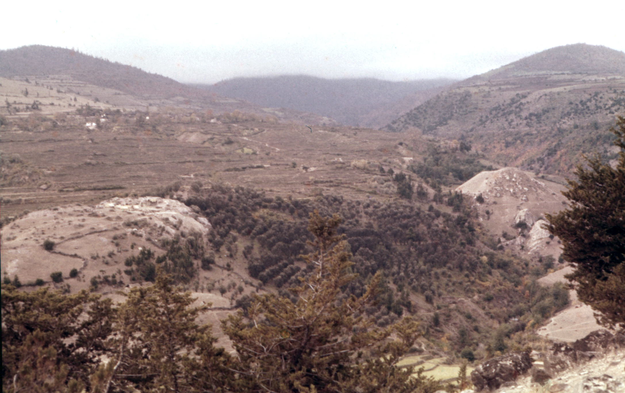
Fig. 1. The situation of Marlik (left) and Pilā Qal’eh (left) in the valley of the Gohar Rud (photo: M. Mousavi).
Archaeological Exploration
Ezatollah Negahban briefly explored Pilā Qal’eh on behalf of the Iranian Archaeological Service in 1962. There is no detailed report of the excavations.
Finds
Finds mainly consist of pottery. Architectural remains in mud-brick have been reported but in absence of any detailed report, it is hard to know their plans and construction materials.
Bibliography
Negahban, E. O., “A Brief Report on the Excavation of Marlik Tepe and Pileh Qal'eh,” Iran, vol. 2, 1964, pp. 13-19.
Negahban, E. O., Marlik. The Complete Excavation Report, vol. 1, Philadelphia, 1996 (p. 11 for Pilā Qal’eh).
 DOWNLOAD AS PDF


