Tamuzanتپه تموزان
Location: 50 km southeast of Razan in western Iran, Hamadan Province.
35°16’37.7″N 49°08’00.6″E
Map
Historical Period
Iron Age, Sasanian, Islamic
History and description
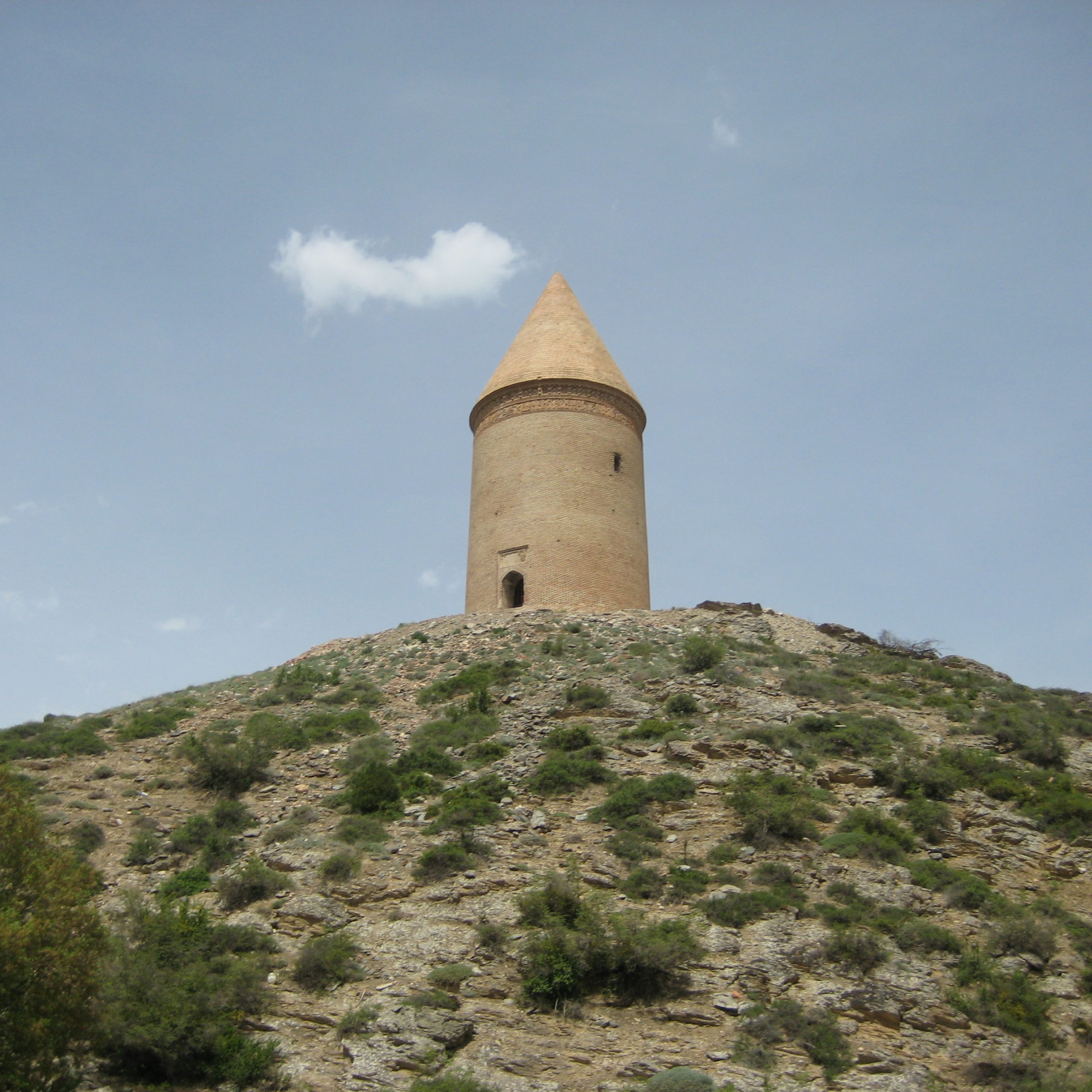
Tepe Tamūzan is located 300 m south of the village of Tamūzān. The mound is roughly circular measuring 50 x 45 m with a height of 4 m above the surrounding plain. It is largely destroyed by farming activities and clandestine diggings. The surface potsherds indicate an archaeological sequence ranging from the Iron Age period to the 11th century.
Archaeological Exploration
Tamūzān was first recorded by Parvin Ebrahimi of the local branch of the Iranian Cultural Heritage, Tourism, and Handicraft Organization in 2003. The site has not been excavated.
Bibliography
Ebrahimi, P., “The Survey Project of the Razan Plain,” unpublished report in Persian, the Iranian Cultural Heritage, Tourism, and Handicraft Organization, Hamadan, 2003.