Tepe Golestanتپه گلستان
Location: Tepe Golestan is located in the eastern outskirts of the small town of Golestan, 45 km southwest of Tehran, the Tehran Province.
35°31’01.7″N 51°11’38.7″E
Map
Historical Period
Neolithic, Bronze Age, Iron Age
History and decsription
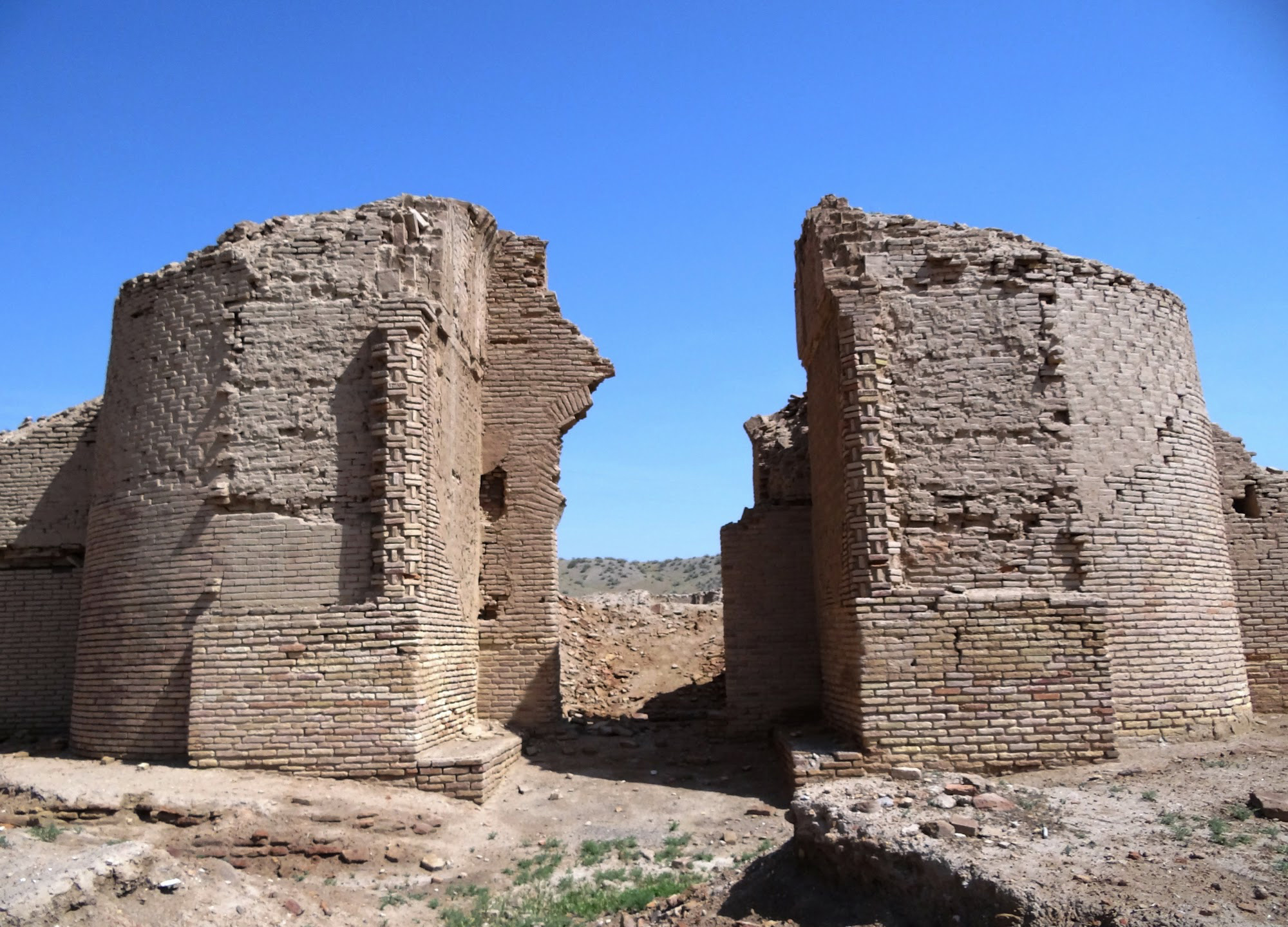
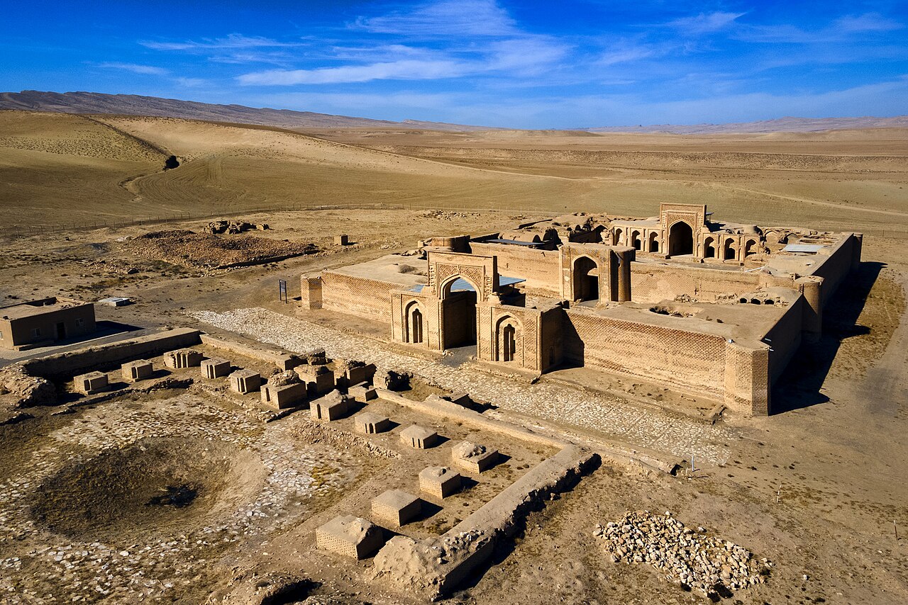
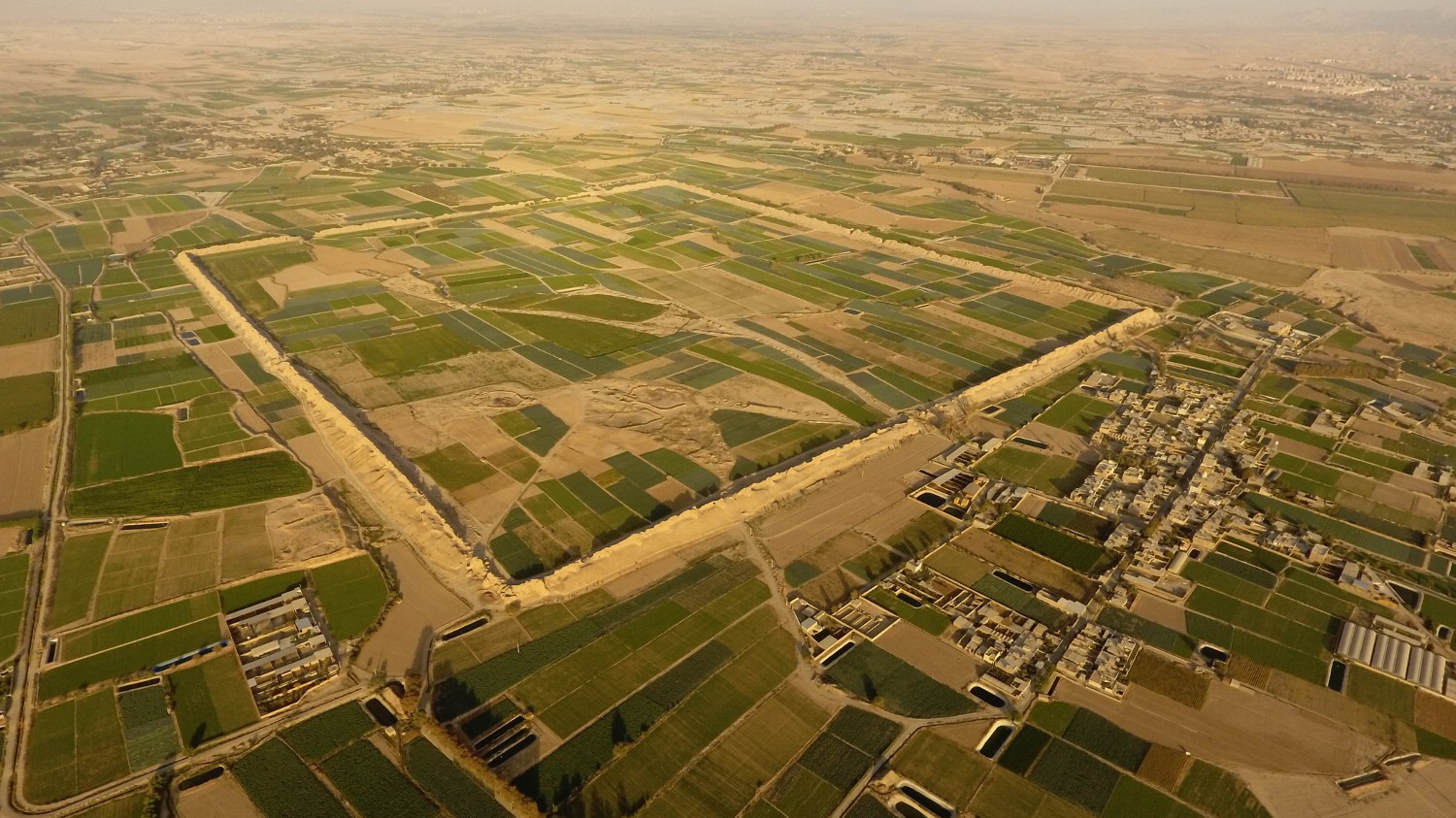
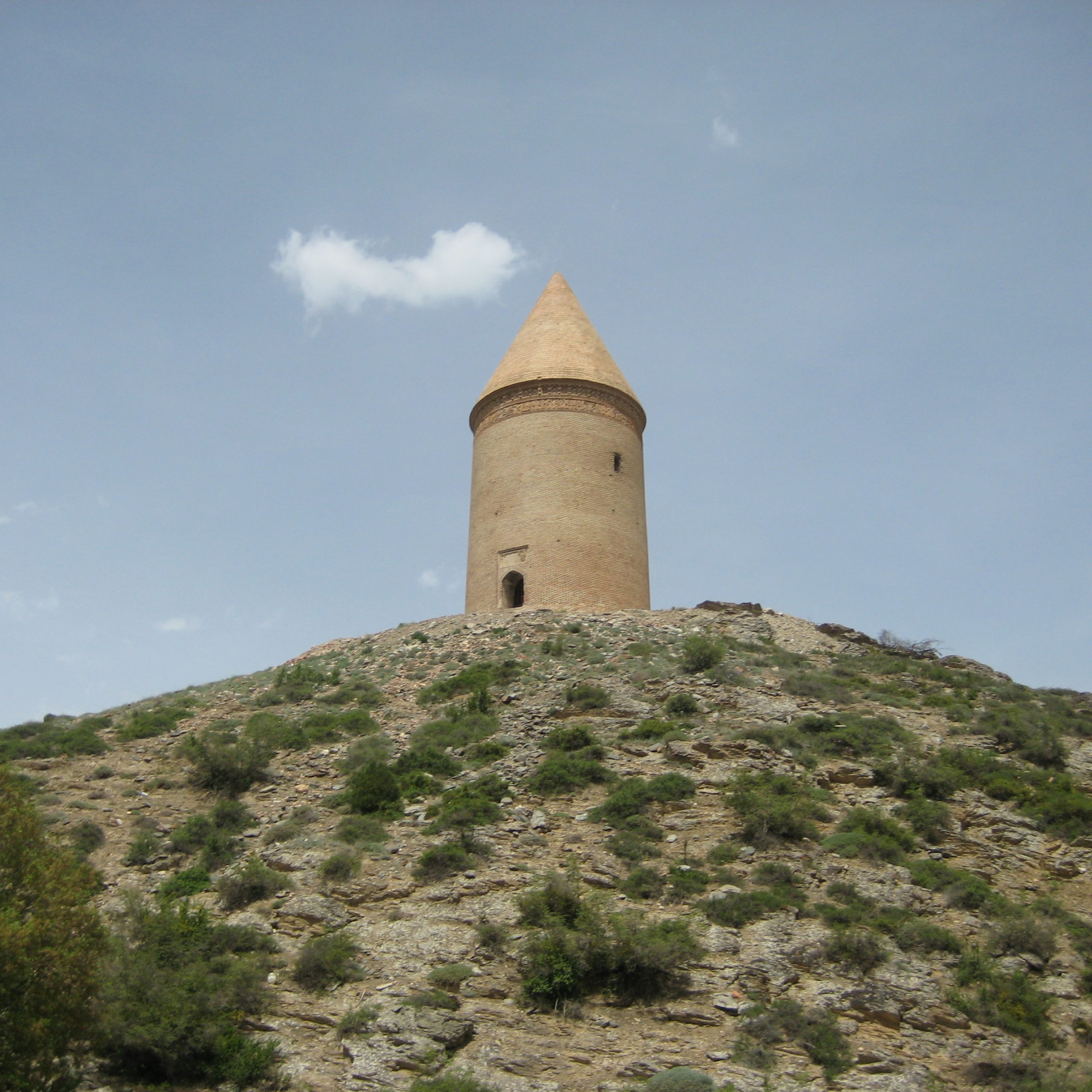
Tepe Golestan lies in the eastern part of the small town of Golestan, 45 km south/southwest of Tehran and 20 km northeast of Robāt Karim. A large part of the mound has been destroyed because of the town’s urban development and industrial activities. It presently covers 5 hectares and is nearly 2 m high. Based on a systematic surface collection, the site seems to have a long archaeological sequence from the Neolithic to the Iron Age period.
Archaeological Exploration
Tepe Goelstan was discovered and surveyed by Mohsen Bagheri on behalf of the Iranian Center for Archaeological Research in 2001.
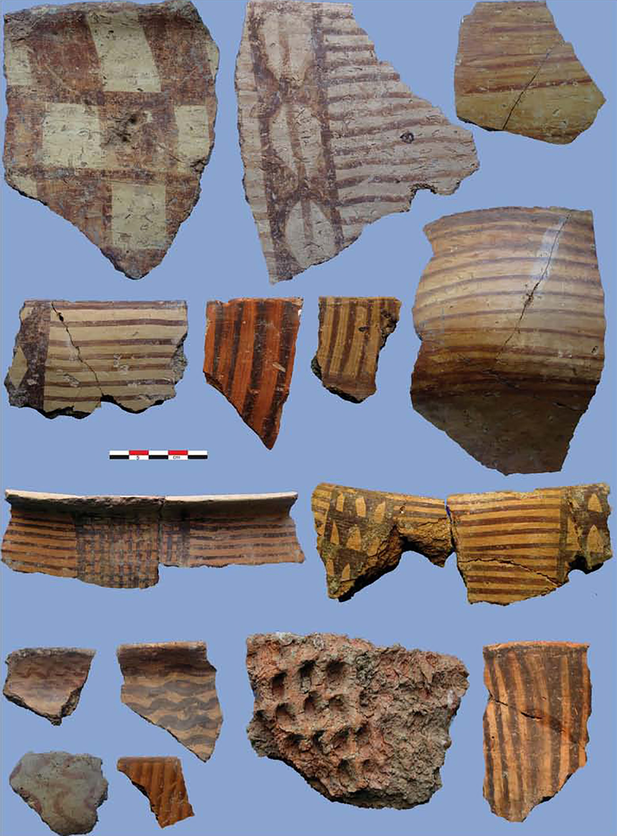
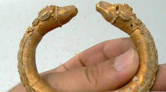
Finds
Bibliography
Alibaigi, S. and Sh. Khosravi, “Evidence of Socio-Economic Organizations (?) of the Iran Age Period in the Central Plateau of Iran,” Journal of Archaeological Studies, vol. 1/1, 1388/2009, pp. 87-88 (for Tepe Golestan). In Persian