Tepe Kelisā/Mar Danialتپه کلیسا/مار دانیال
Location: Situated north of Urmia, in northwestern Iran, West Azerbaijan Province.
37°42’41.54″N 45°12’8.13″E
Map
Historical Period
Iron Age, Islamic
History and description
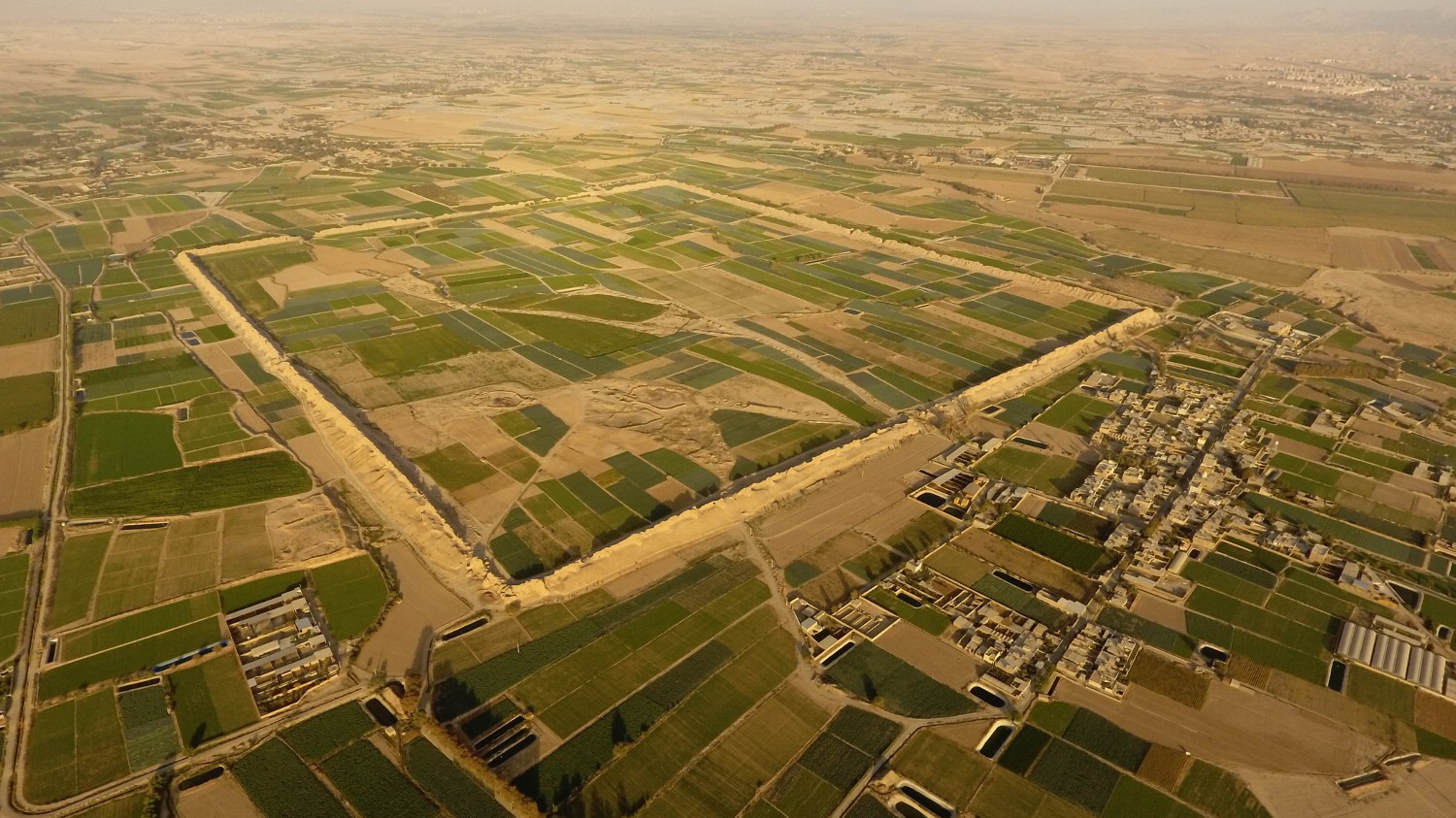
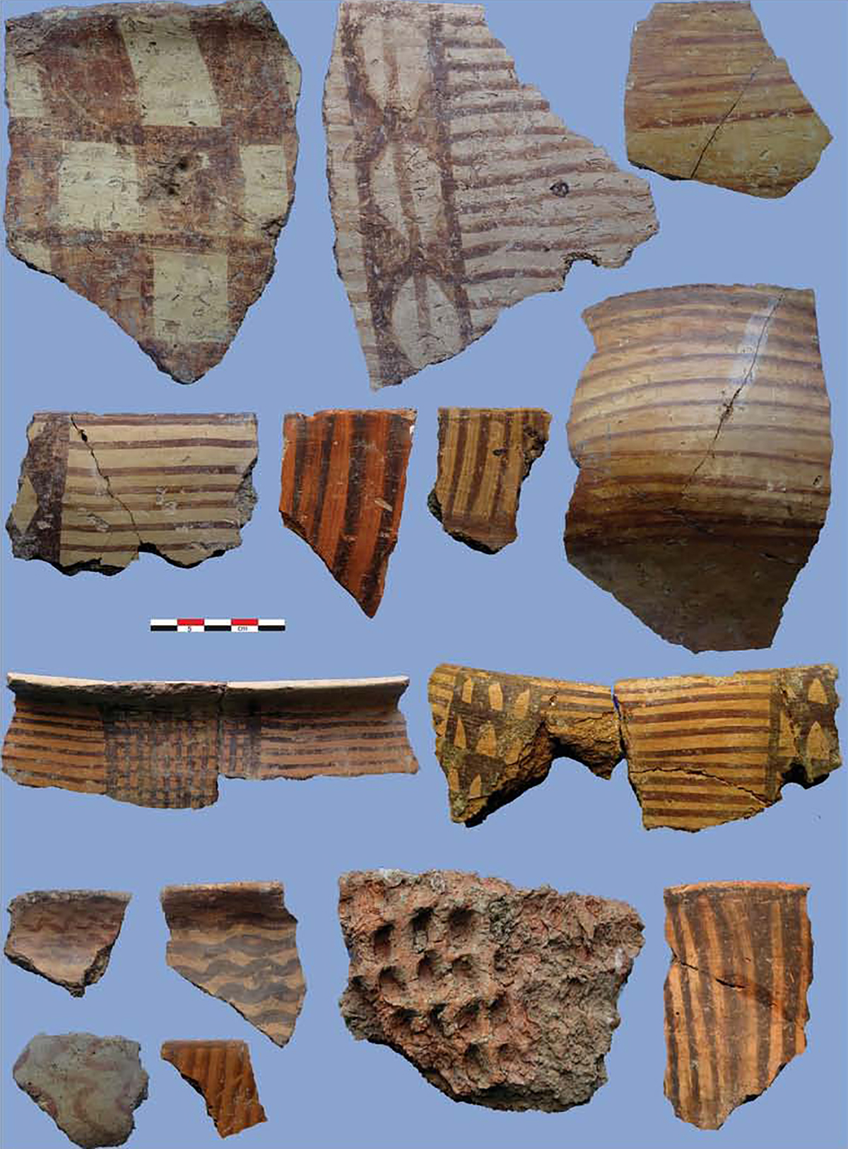
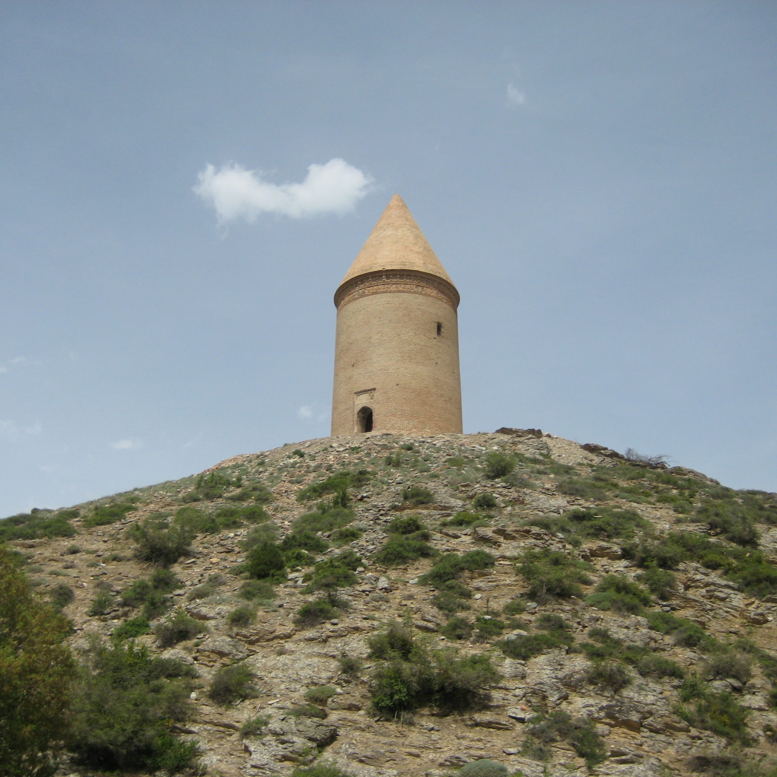
Tepe Kelisā is located 800 m west of the village of Osālū-ye Allāhverdi Khān, 20 km north of Urmia. There is an Armenian chapel on top of the mound, hence the name Tepe Kelisā. The chapel was partly destroyed during the First World War and has been recently restored. The mound covers approximately 3 hectares and measures 190 x 170 m with a height of 3 m above the surrounding plain. The eastern and northern edges of the mound have been destroyed because of farming activities. Surface potsherds suggest a date in the late Iron Age period.
Archaeological Exploration
Tepe Kelisā was recorded during an archaeological survey in northwestern Iran by an Italian team under the direction of Paolo Emilio Pecorella on behalf of the Institute of Mycenaean and Aegean-Anatolian Studies (now the Institute of the Ancient Mediterranean Studies), Italy’s National Research Council (CNR), in 1976.
Bibliography
Pecorella, P. E. and M. Salvini, Tra lo Zagros e l’Urmia. Ricerche Storiche ed Archologiche Nell’Azerbaigian Iraniano, Rome, 1984, p. 148.