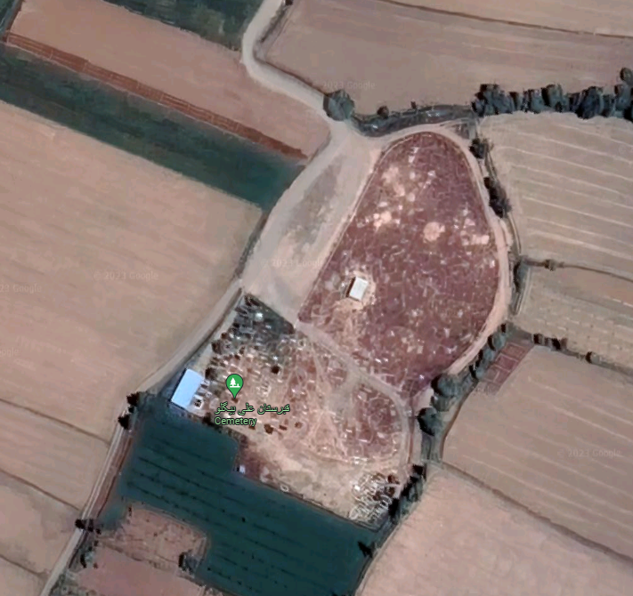
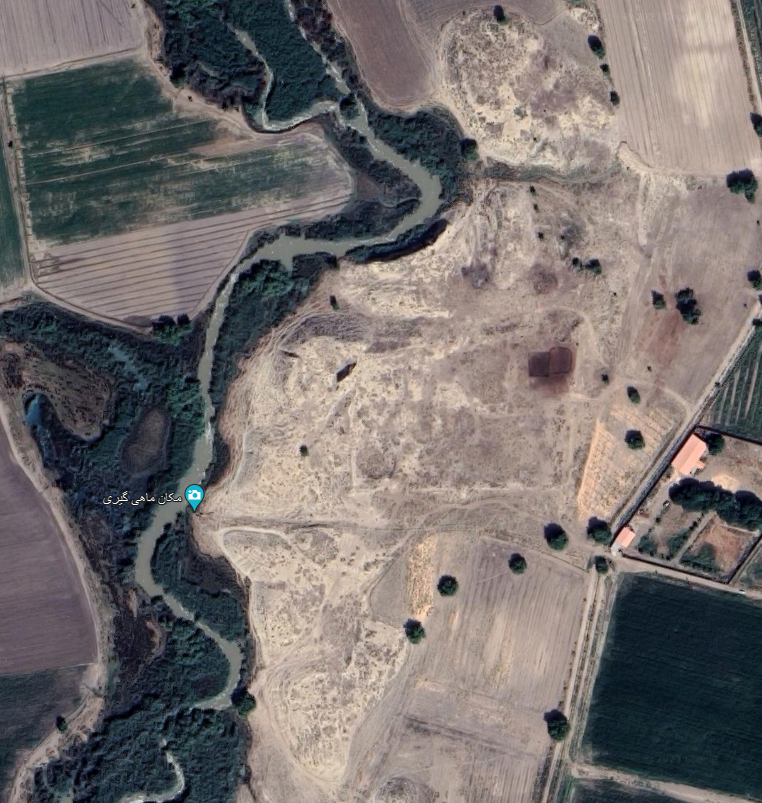
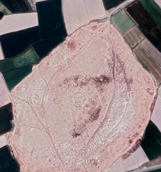
Tol-e Bondū/Tol-e Bōndolتپه بندو/تل بندول
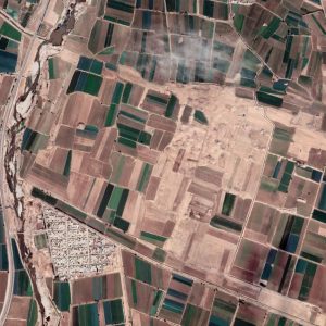
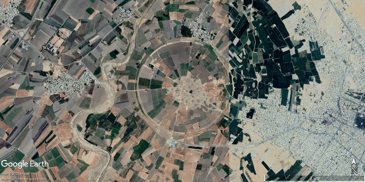
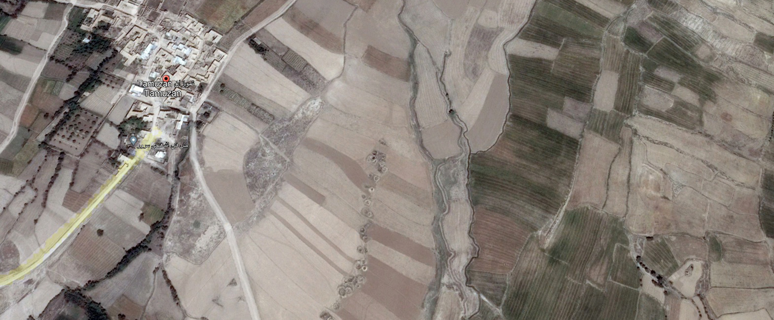
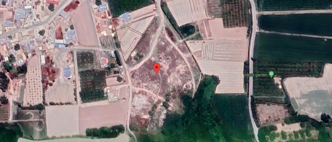
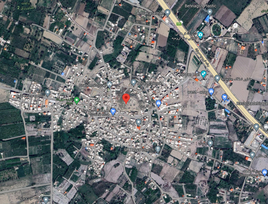
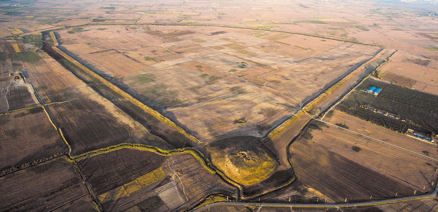
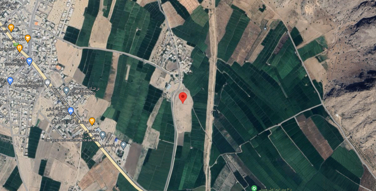
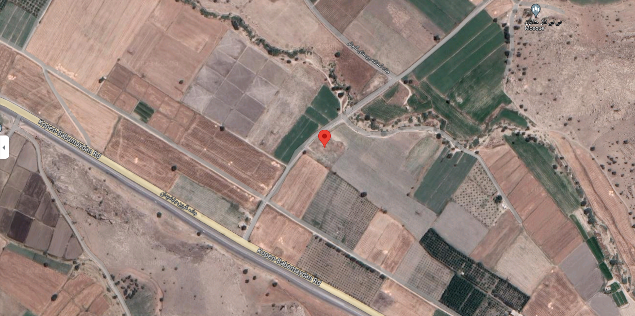
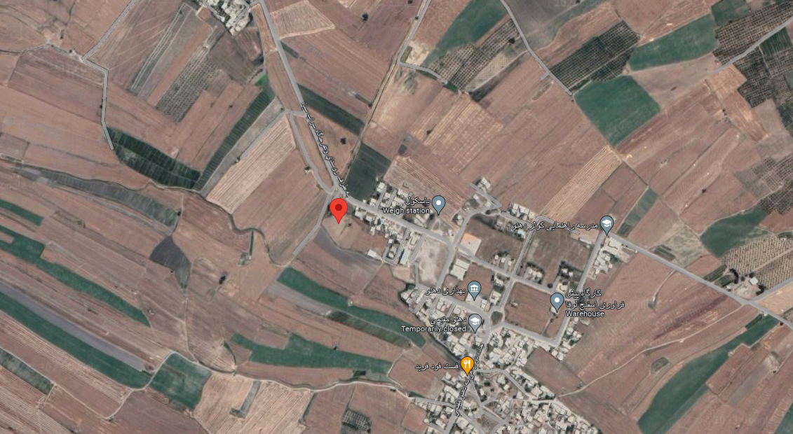
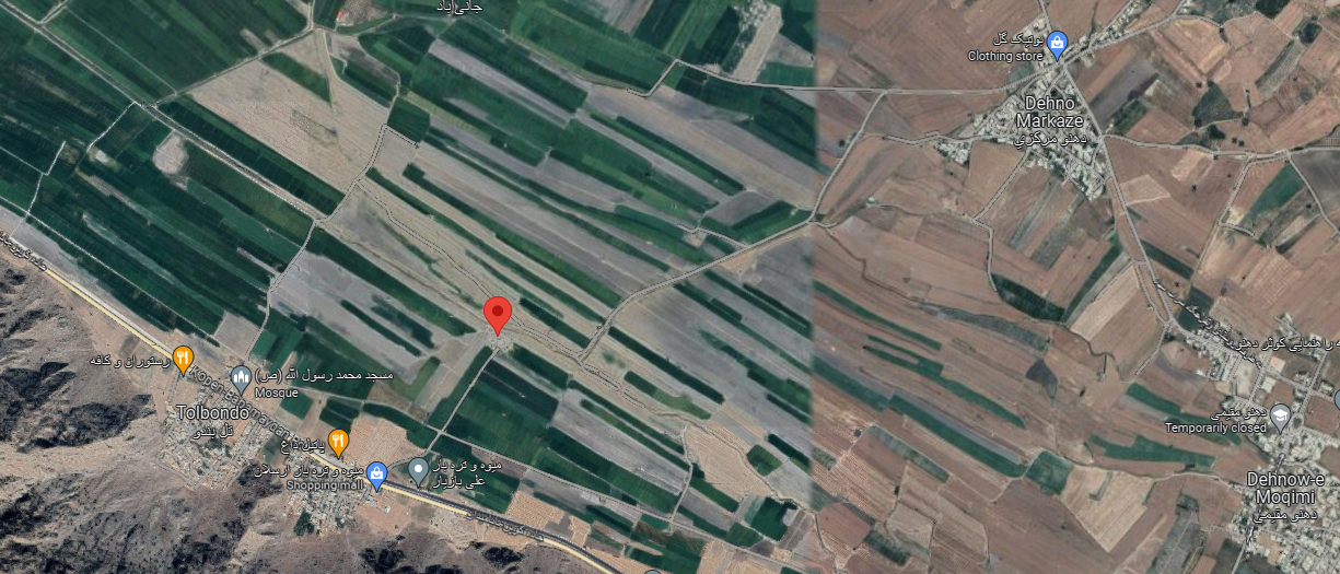
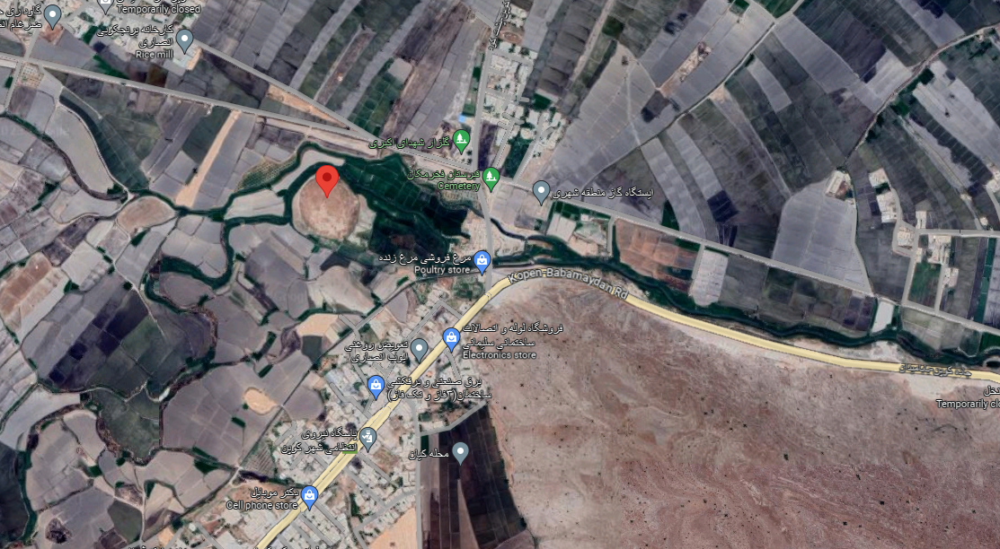
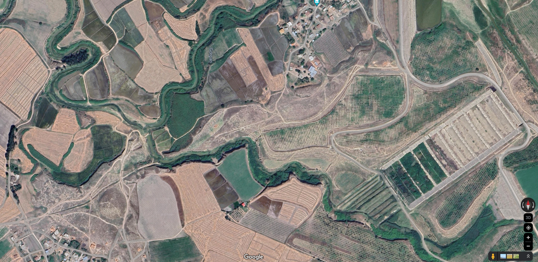
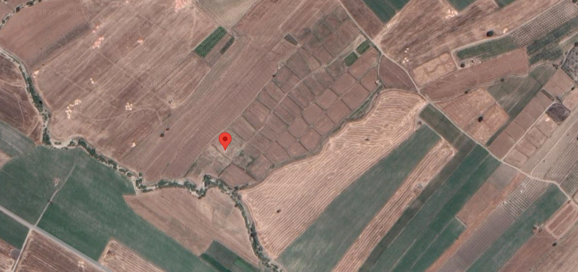
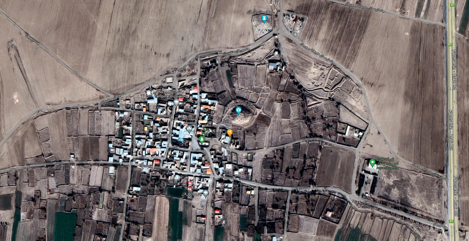
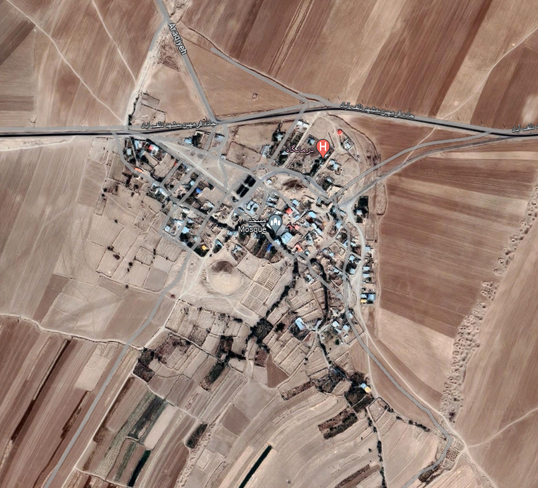
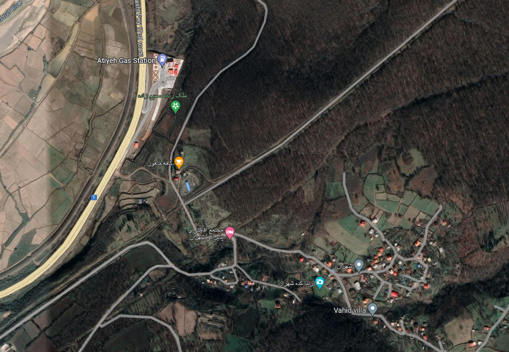
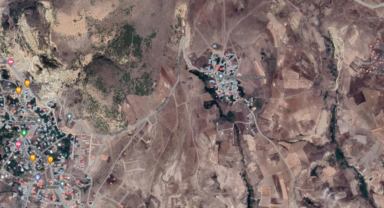
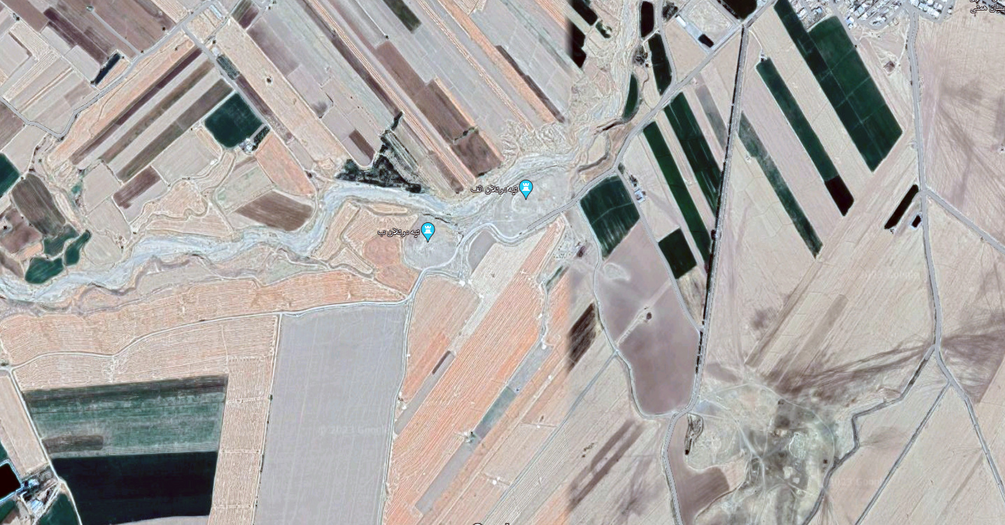
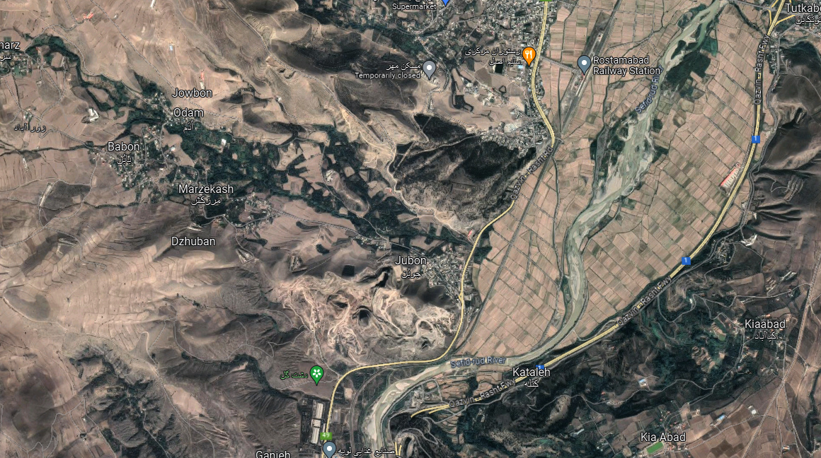
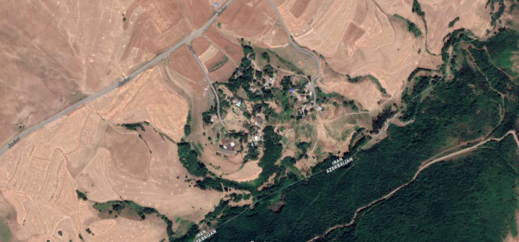
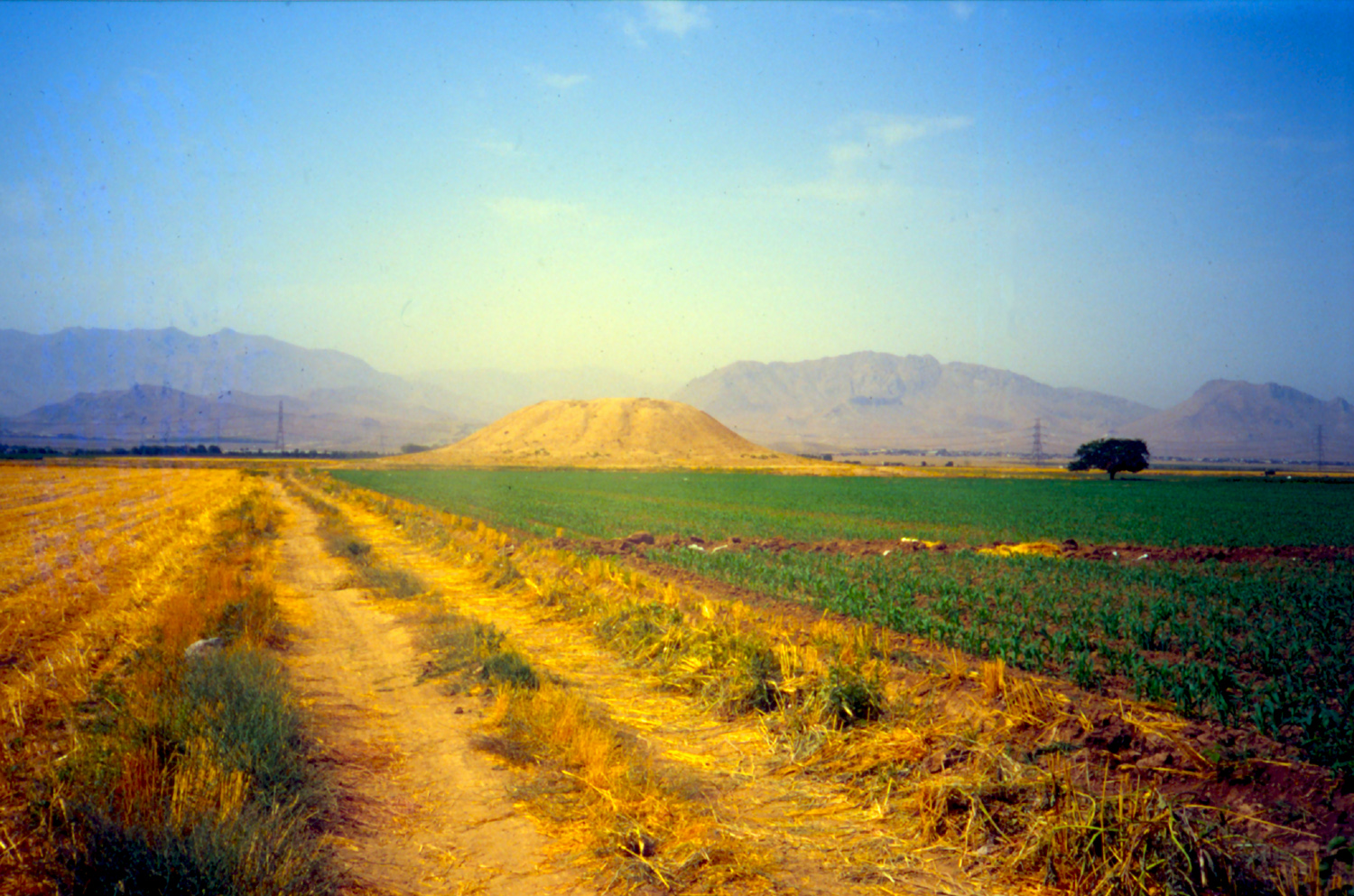
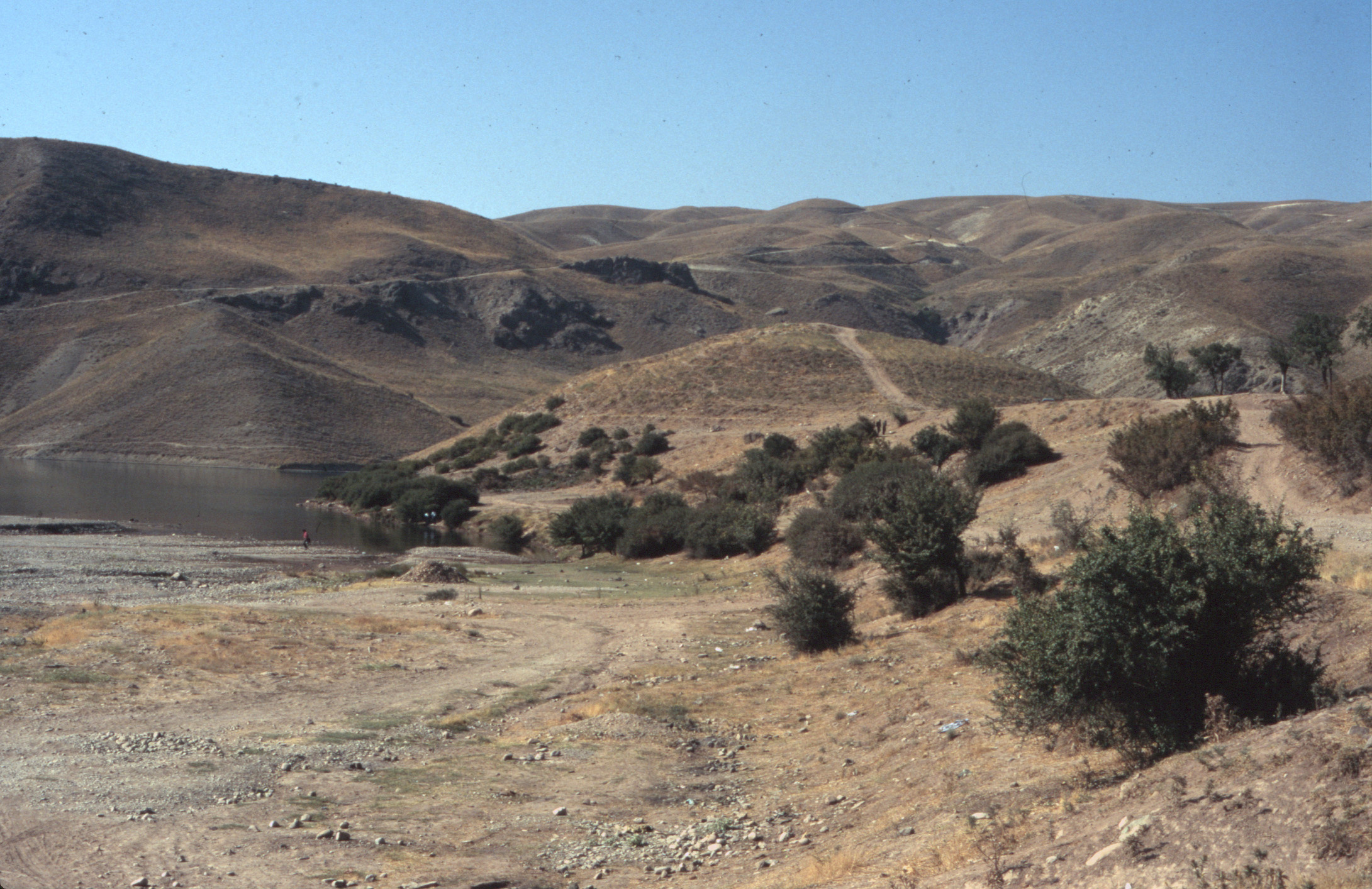
Location: Tol-e Bōndol is in the middle of the plain of Dasht-e Rostam, southern Iran, Fars Province.
30°19’31.3″N 51°21’27.0″E
Map
Historical Period
Chalcolithic, Elamite, Achaemenid, Parthian, Sasanian, Islamic
History and description
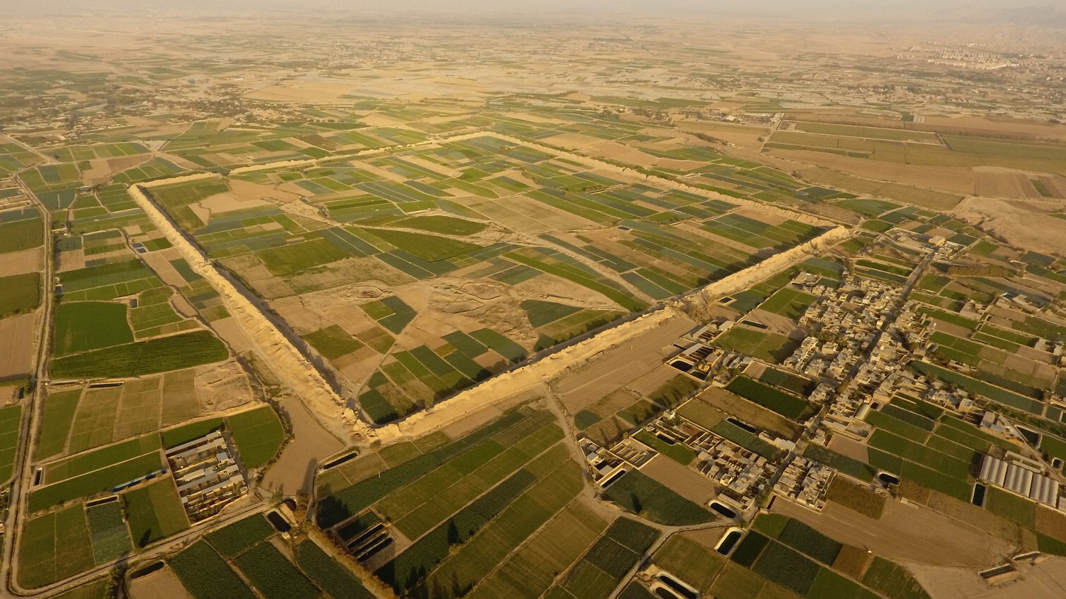
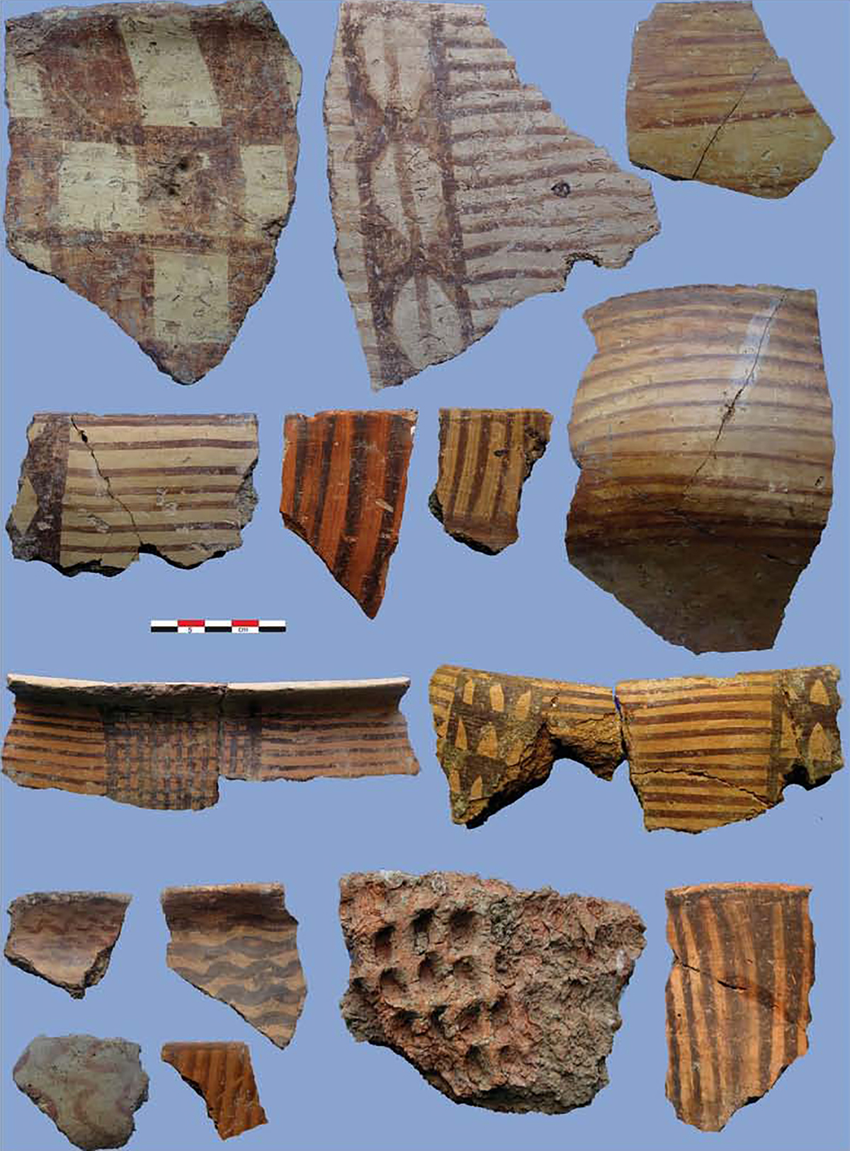
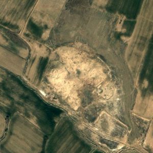
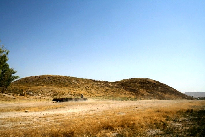
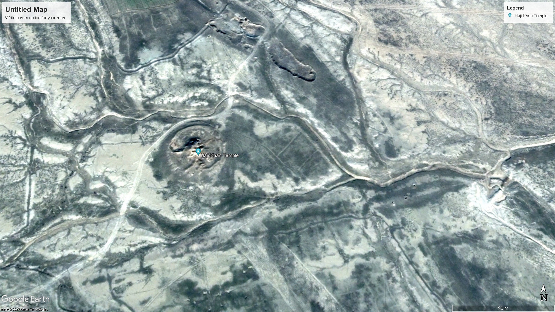
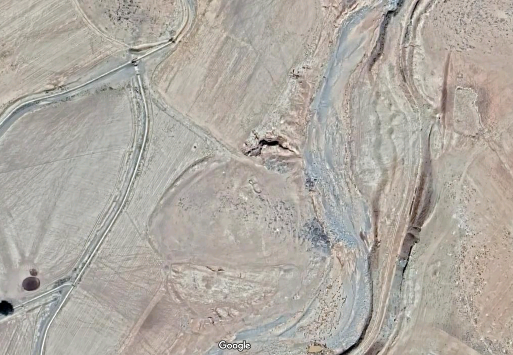
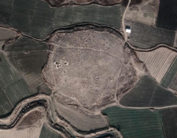
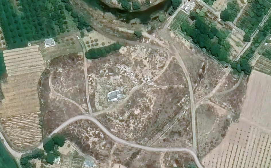
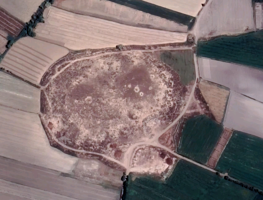
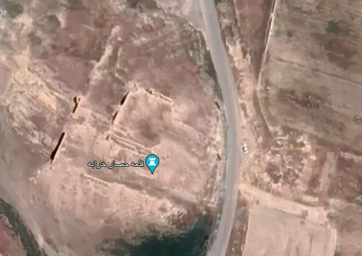
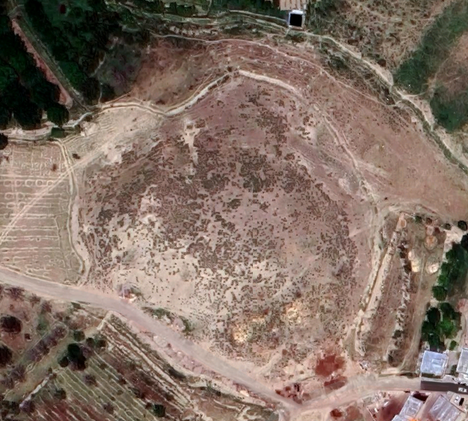
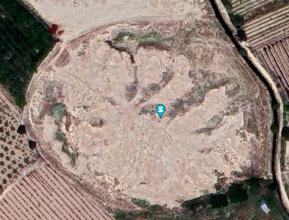
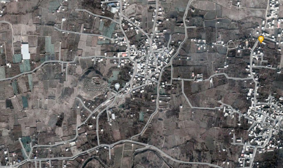
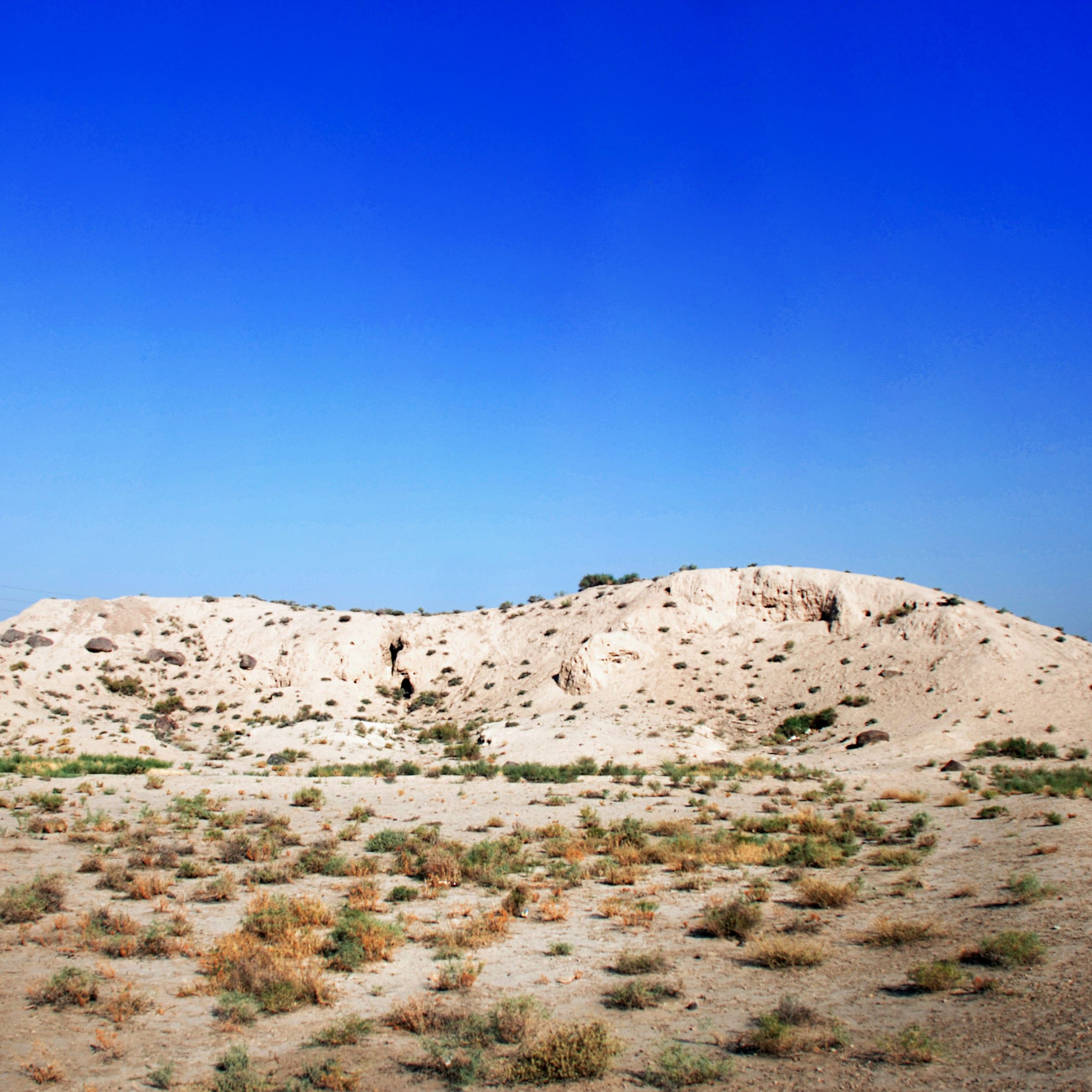
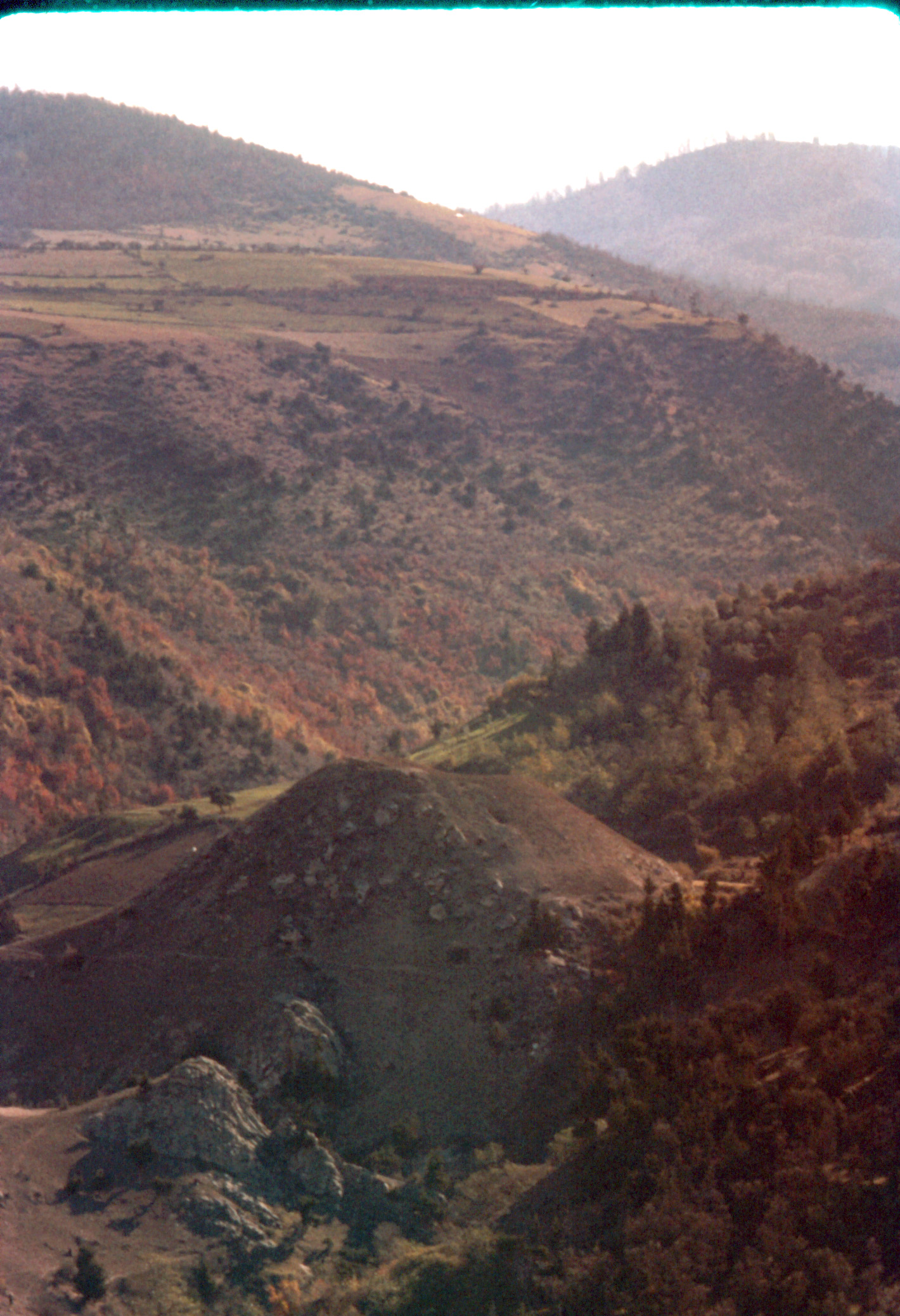
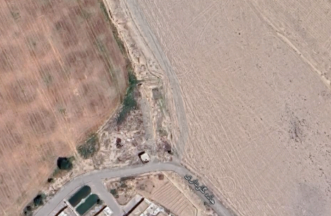
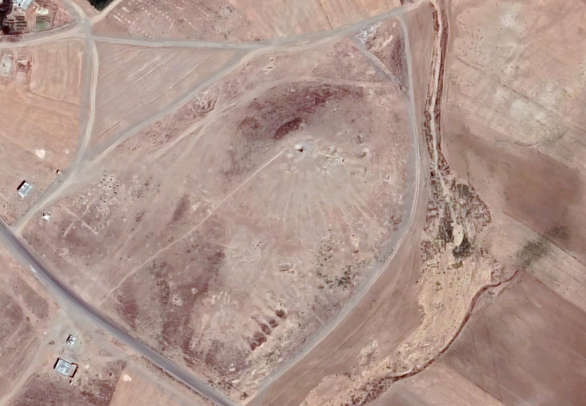
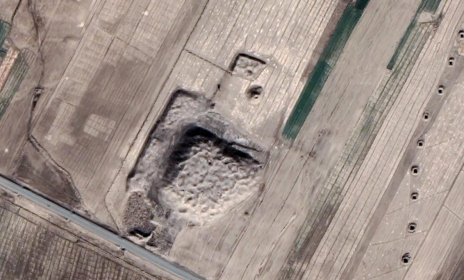
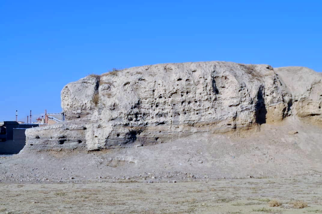
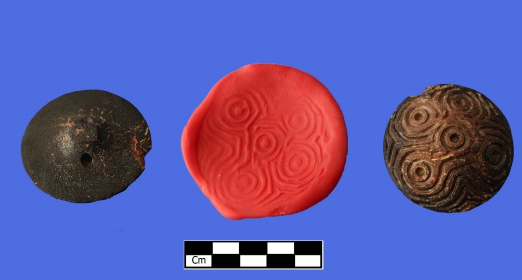
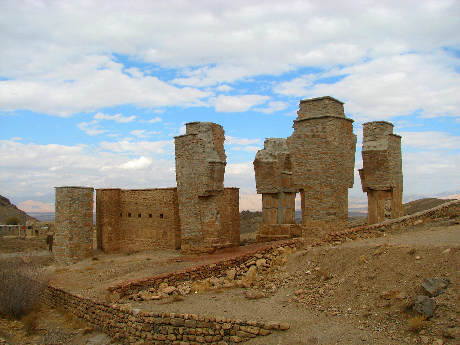
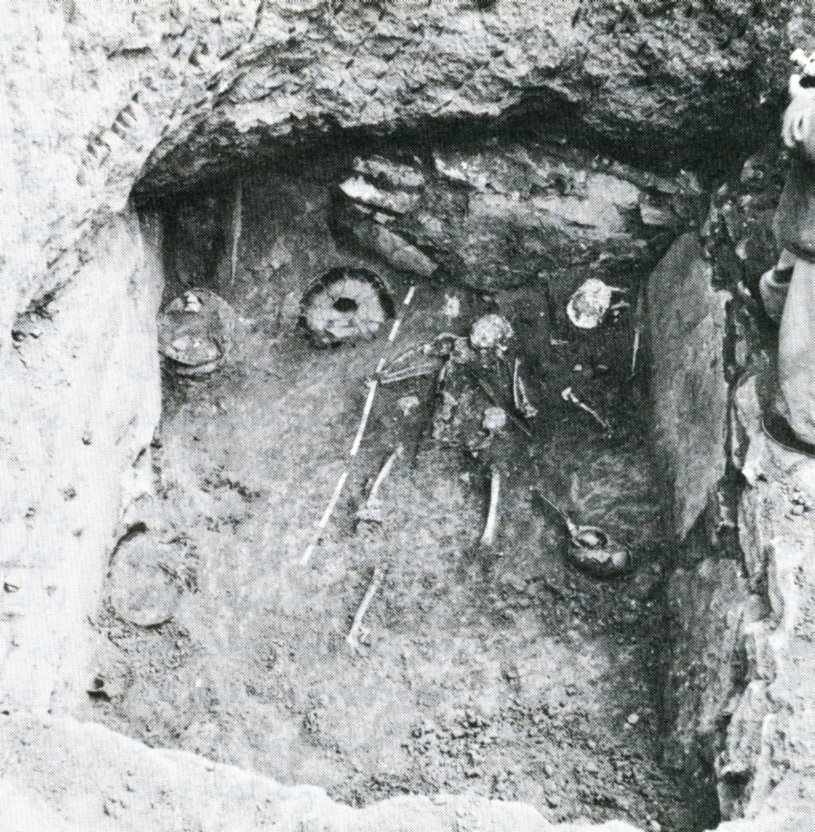
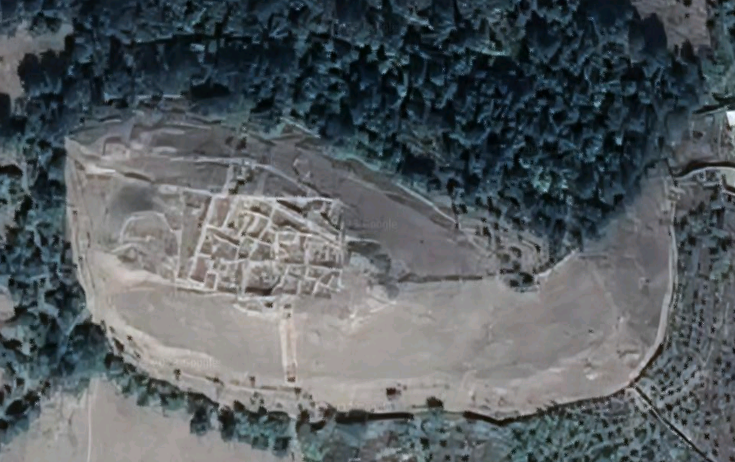
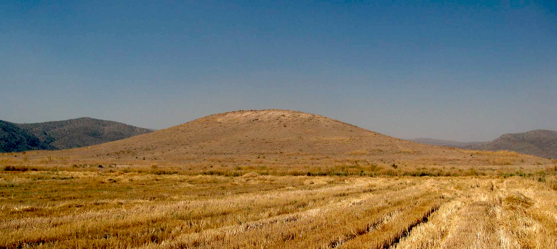
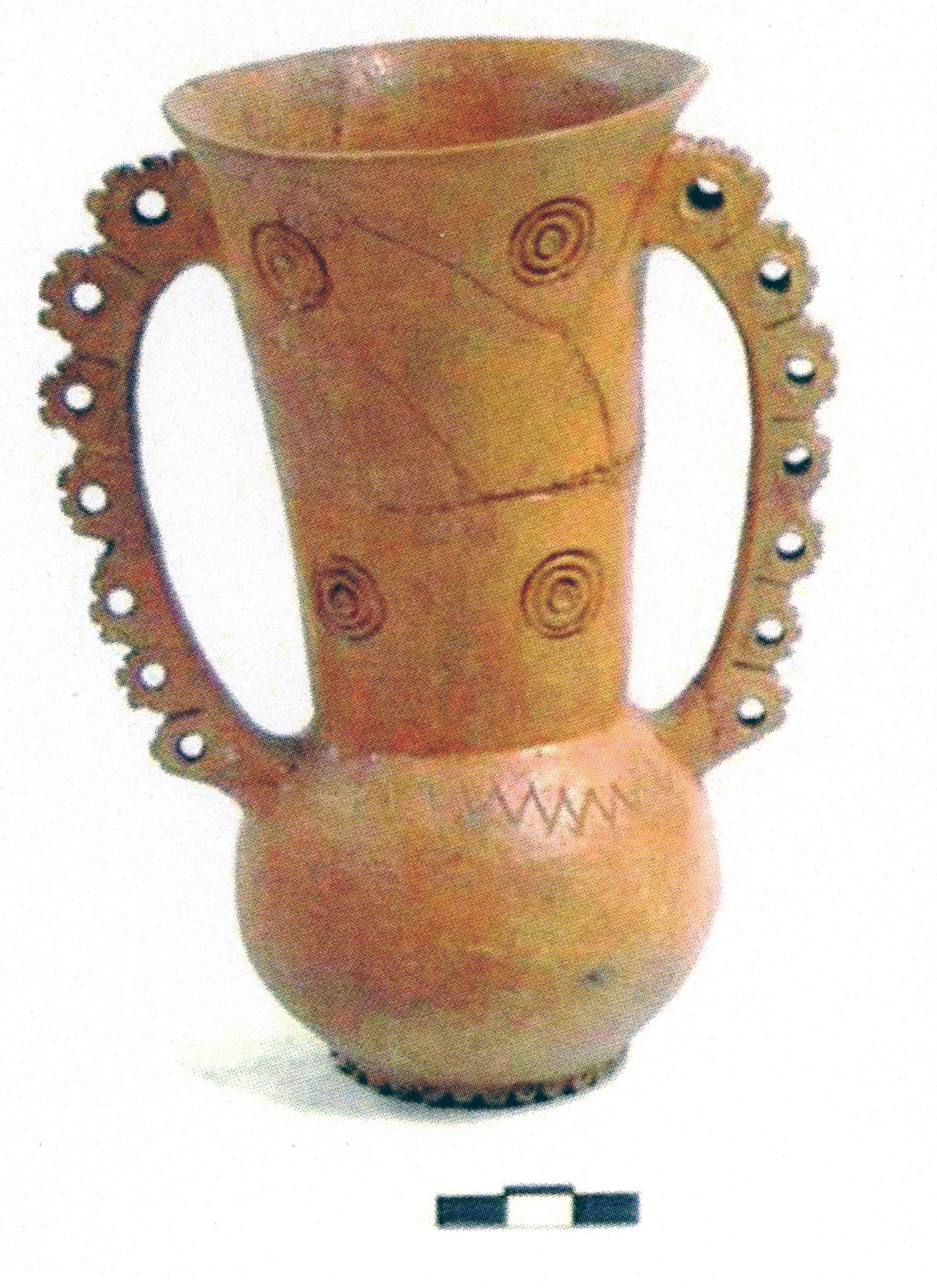
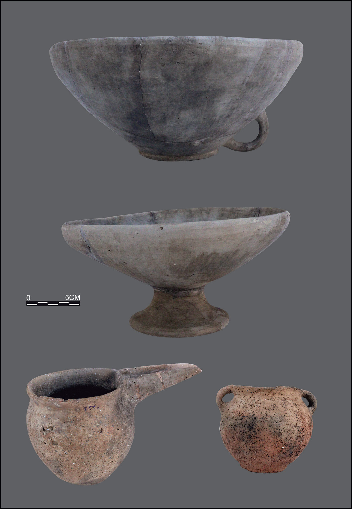
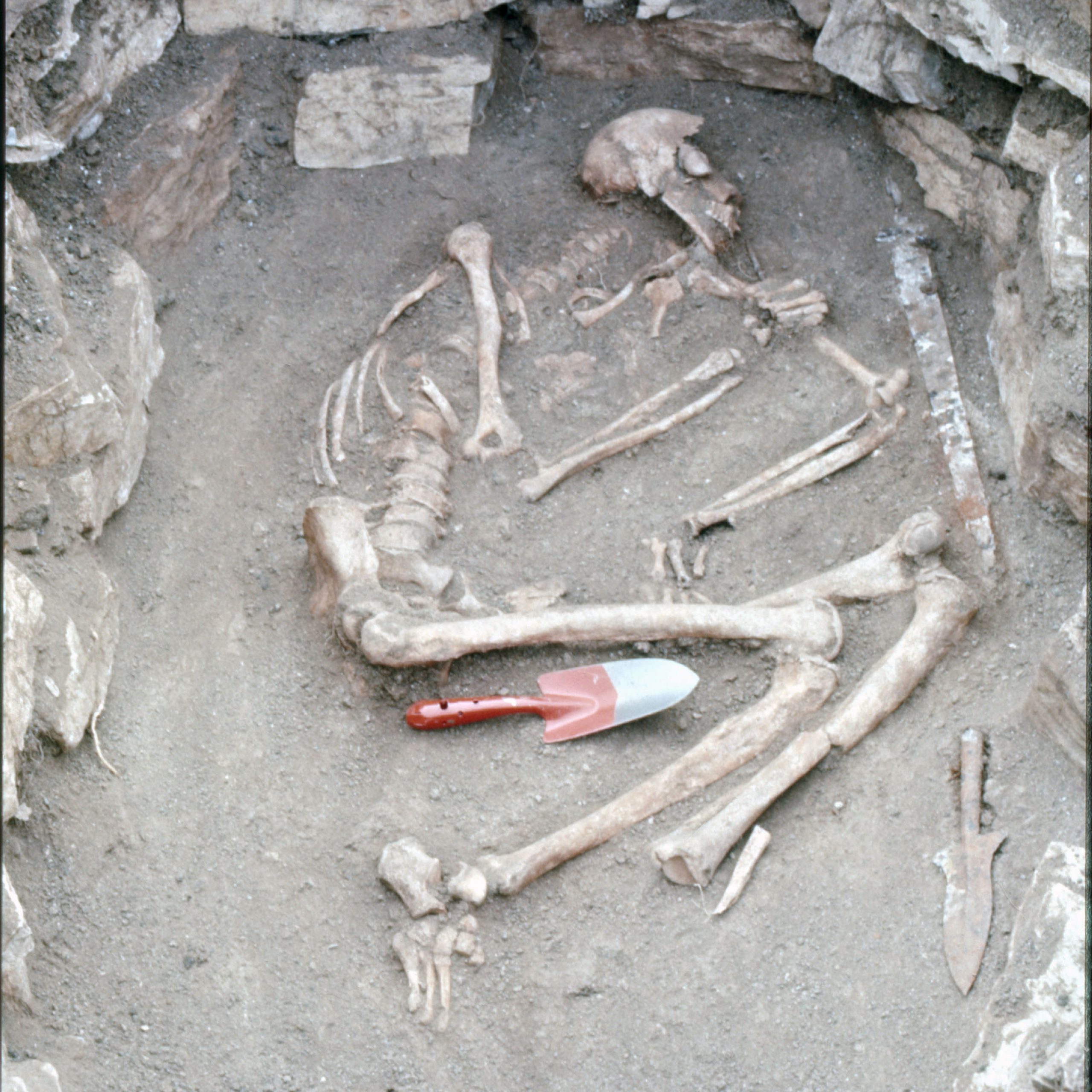
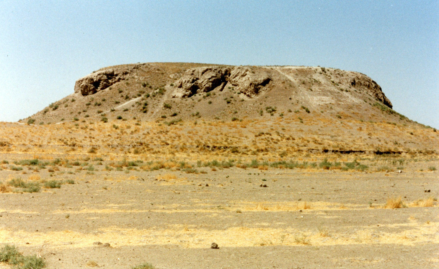
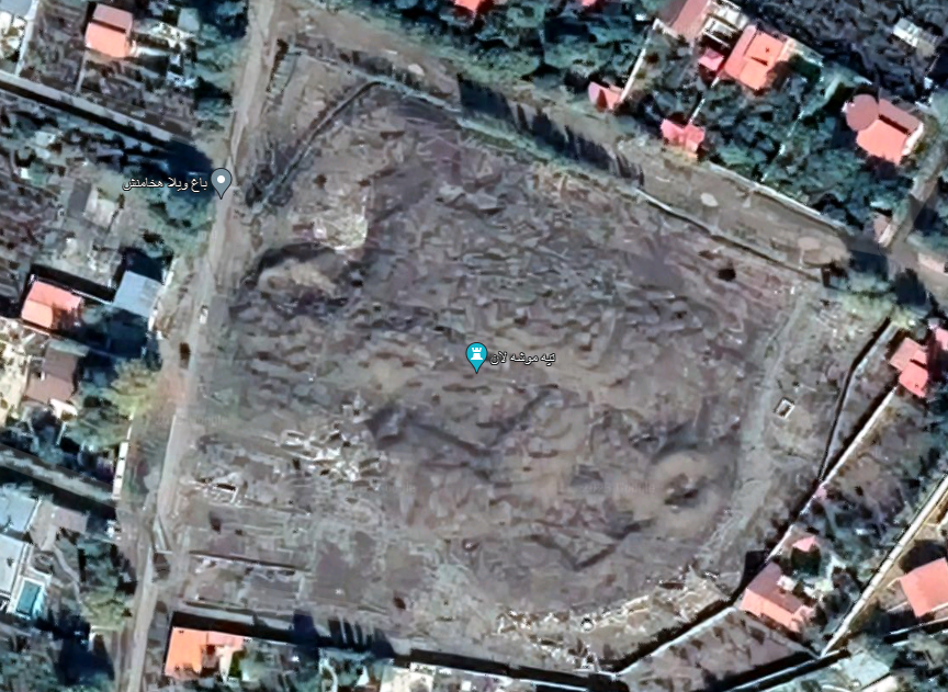
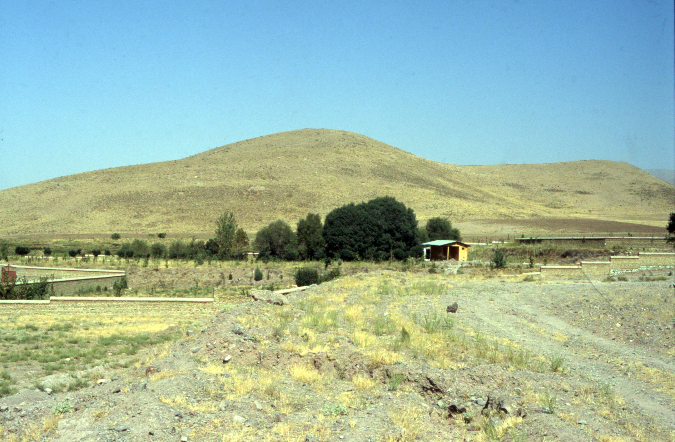
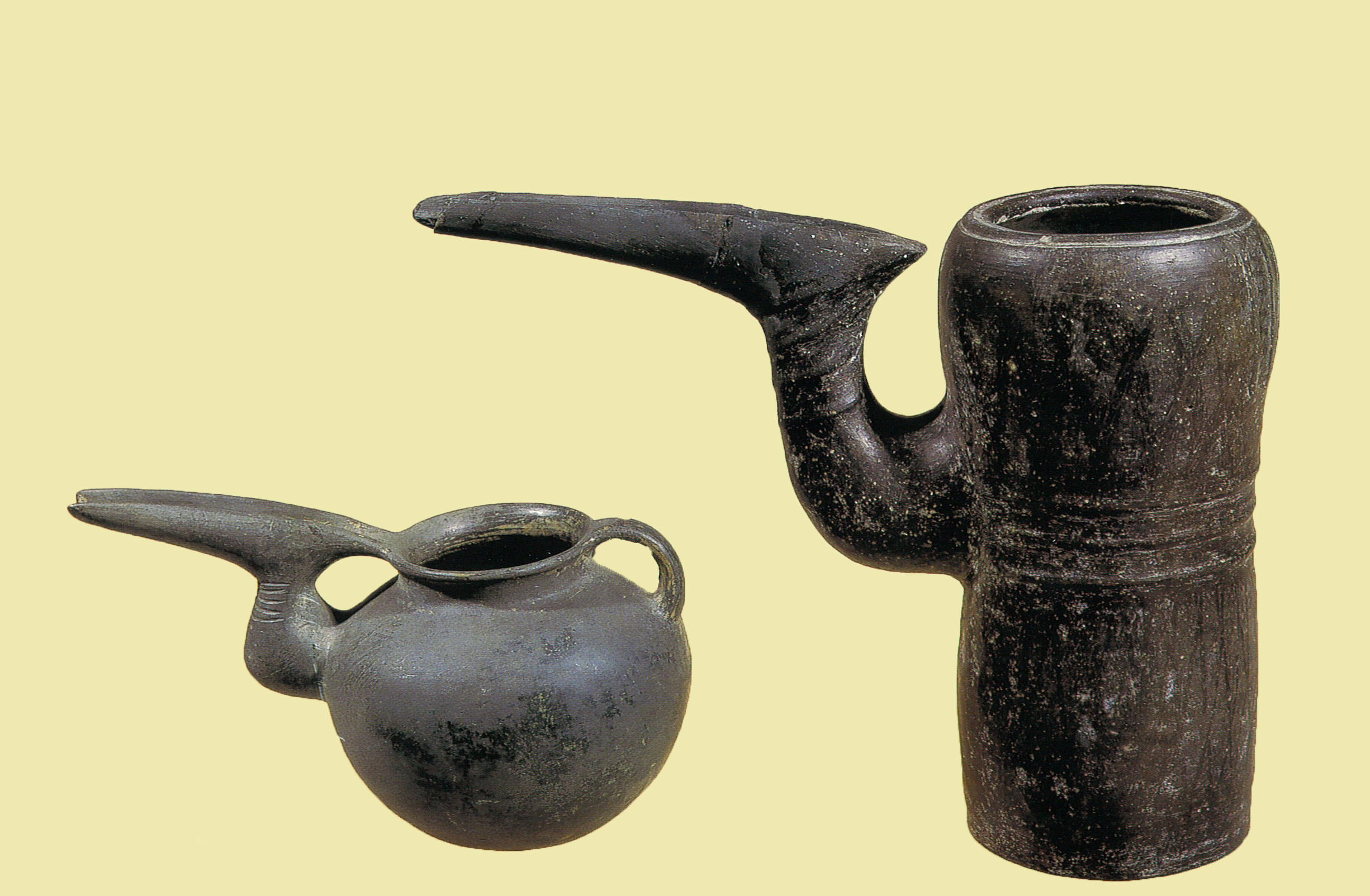
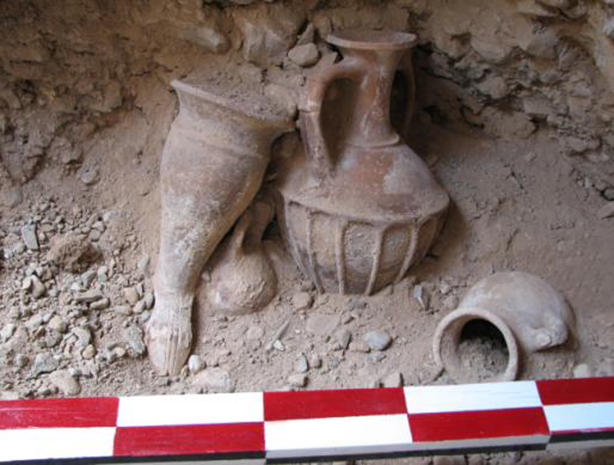
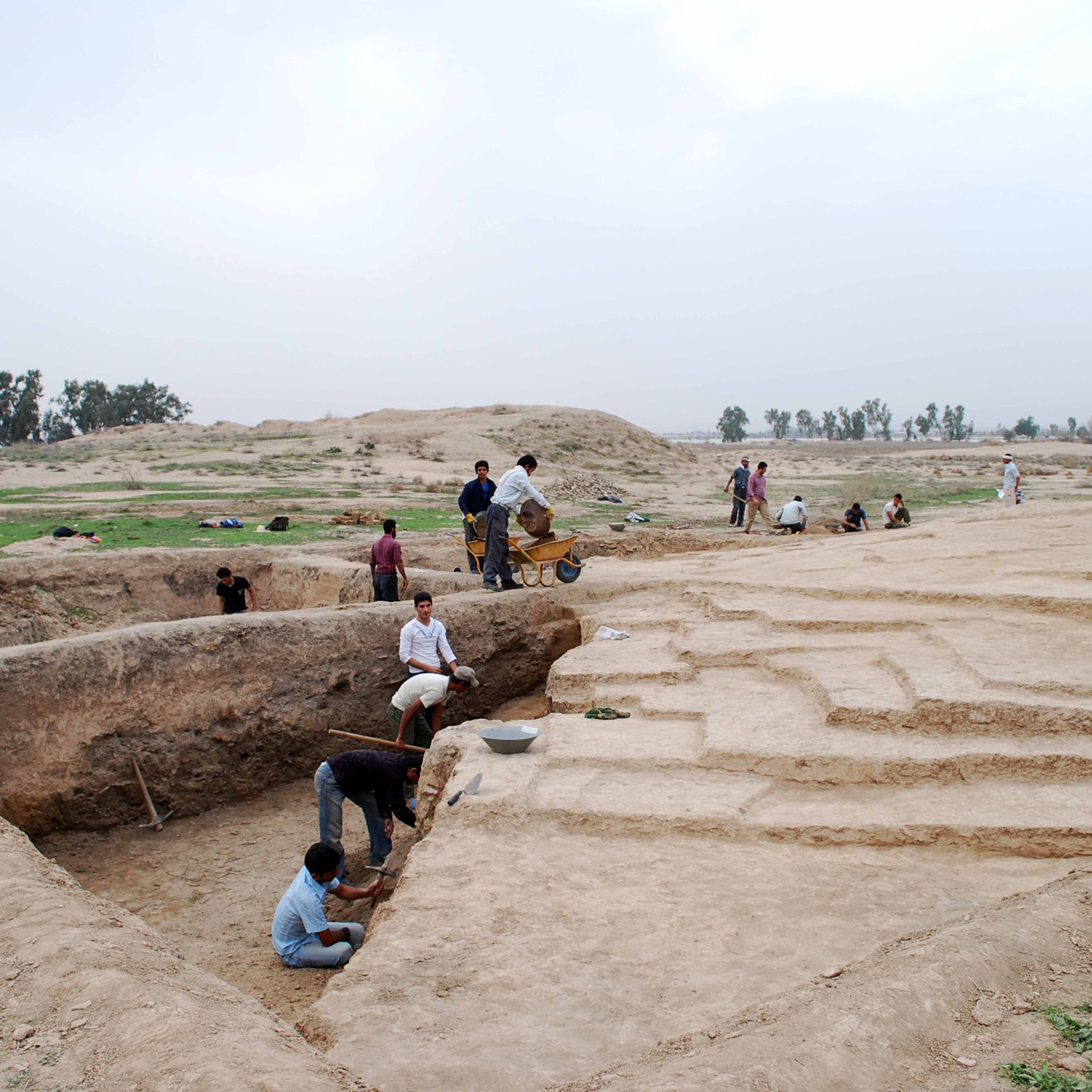
Tol-e Bondū or Tol-e Bōndol is located in the Dasht-e Rostam, 15 km northwest of Tol-e Spid, and 1 km east of the present-day village of the same name. The site is now a heavily disturbed and partially destroyed mound measuring 95 x 75 m with an approximate height of 6 m. The preserved area covers roughly two hectares. Tol-e Bōndol seems to have a long archaeological sequence from the Bakun to possibly the Achaemenid periods. Based on the publication of the excavated materials, there are six phases of occupation: Phase F (Lapui), Phase E (Banesh), Phase D (Kaftari), Phase C (Qal’eh-Shogha-Taimuran), Phase B (Neo-Elamite and early Achaemenid periods) and Phase A (Achaemenid to Islamic periods). The thermoluminescence dating of a mud-brick wall section (25 x 16 x 8 cm) suggests a date of 5050±300 B.P. In Phase D a building with small rooms was discovered as well as tokens and two stamp seals. Architectural remains in Phase C and D include a stone alignment using mud mortar, which was destroyed by fire. Three skeletons were found in contracted positions in these phases. Thermoluminescence dating of Phase B materials gives a date of 2420±120 [B.C.]
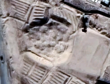
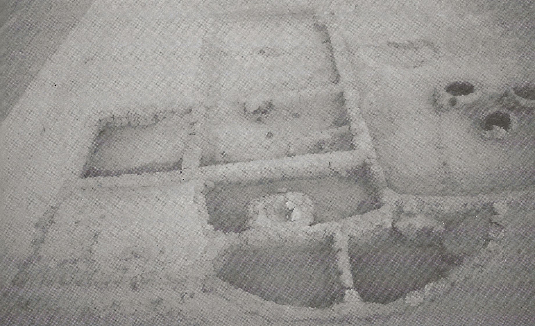
The site was hastily excavated; the reckless recording of archaeological layers and artifacts resulted in the lack of a clear stratigraphy at Tol-e Bōndol. For example, one of the most important architectural remains seems to be a square room measuring 156 x 156 cm with a wall thickness of 15 cm. In the center of the room, there is a platform measuring 30 x 30 cm with a height of 40 cm. According to A. Atabaki and S. Darvishi who published the excavated materials, the building is thought to be a “temple” or “shrine”. However, it is not clear to which “phase” or period this building belongs. One possibility is that the structure in question was built in “phase E” (Banesh) or “phase D” (Kaftari).
Archaeological Exploration
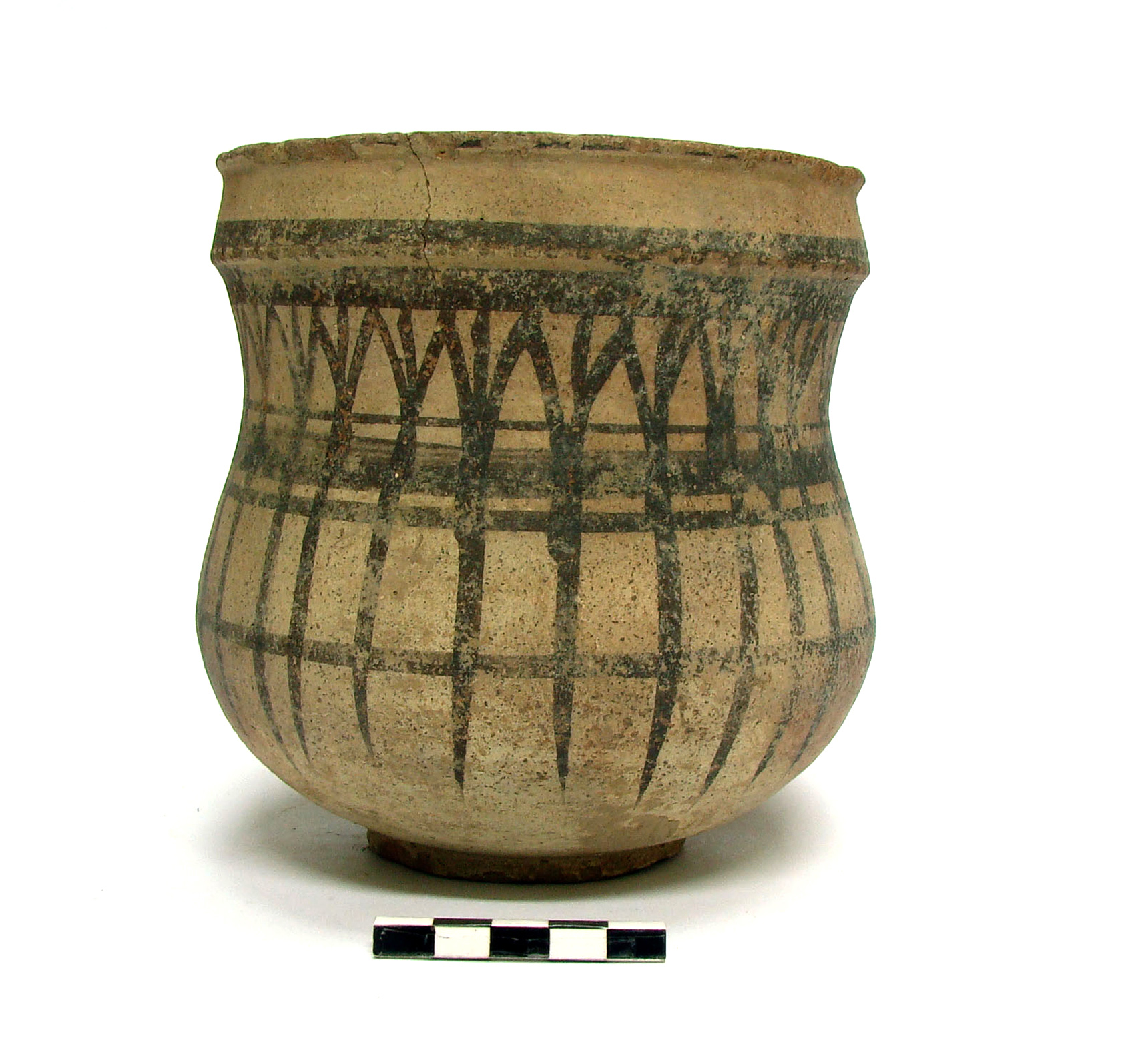
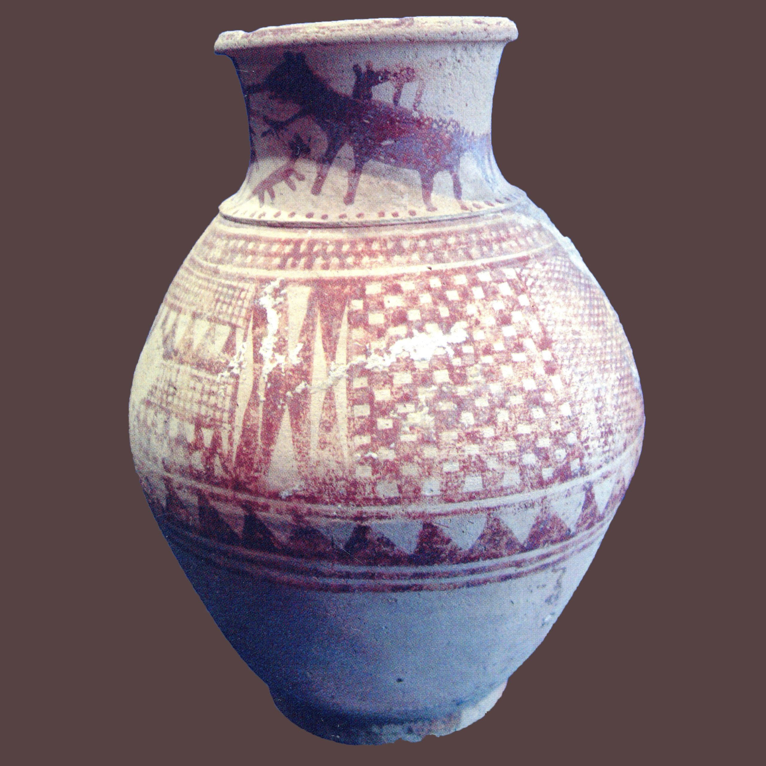
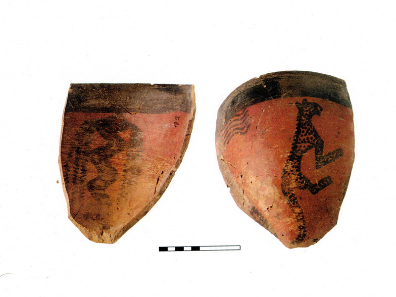
Tol-e Bōndol was first recorded by Sir Aurel Stein as Bondū in the winter of 1935. He reported small fragments of painted pottery dated to chalcolithic as well as a few worked flints. Between 2002 and 2005, an Iranian-Australian archaeological team surveyed the area and recorded the site as Tol-e Bondū. Based on the surface material the site was attributed to the Bakun, Lapui, Banesh, Kaftari, Middle Elamite/Qaleh/Shogha/Teimuran, Achaemenid, Islamic period. Tol-e Bōndol was finally excavated by Ehsan Yaghmaei, from 2003 to 2004, and Simin Lakpour, from 2005 to 2007, on behalf of the Iranian Center for Archaeological Research and the Free University of Kazerūn. The site was hastily excavated; the reckless recording of archaeological layers and artifacts resulted in the lack of a clear stratigraphy at Tol-e Bōndol. Later, Soheyla Darvishi, an assistant archaeologist, studied the excavated materials for her doctoral dissertation and published them in a short report.
Bibliography
Atabaki, A. and S. Darvishi, “The Report of Fourth Season Excavations at Tol-e Bondu and Discovery of a Temple, West of Fars, Iran”, Ancient Asia 1, 2006, pp. 44-52.
Darvishi, S., “Moarefi-ye Rostā-yi Eghtesādi-Mazhabi, Miyān-eye Rāh-e Anšan be Shush dar Dore-ye Ilami bar Asas-e Panj Fasl Kavosh dar Tol-e Bondu[l]-Nurabad Mamassani-Fars”, Archaeological Reports, vol. 7/2, on the Occasion of the 9th Annual Symposium on Iranian Archaeology, 1386/2007, pp. 101-127 (in Persian).
Darvishi, S., S. M. Sarraf, and M. Tavoosi, "Dastāvardhā-ye tahghighāt-e bāstānshenāsi dar Tol-e Bondu, Nurabad, Fars," Majalle-ye Payām-e Bāstānshenās, vol. 4, No. 7, Spring and Summer, 1386/2007, pp. 5-26 (in Persian).
Stein, A. Old Routes of Western Iran, London, 1940, p. 44.
Zeidi, M., B. McCall and A. Khosrowzadeh, “Survey of Dasht-e Rostam-e Yek and Dasht-e Rostam Do,” in The Mamasani Archaeological Project stage one: a report on the first two seasons of the ICAR-University of Sydney expedition to the Mamasani district, Fars province, Iran, Potts, D. T. and K. Roustaei (eds.), 1st edition, Tehran, 2006, p. 161 (for Tol-e Bōndol).
Author: Mohammad Taqi Atayi, May 1st, 2023
Originally published: April 21, 2023
Last updated: March 3, 2025

