Name
Pasargadaeپاسارگاد
Map
Historical Period
Neolithic, Achaemenid, Seleucid, Sasanian, Islamic
History and description
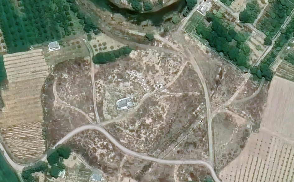
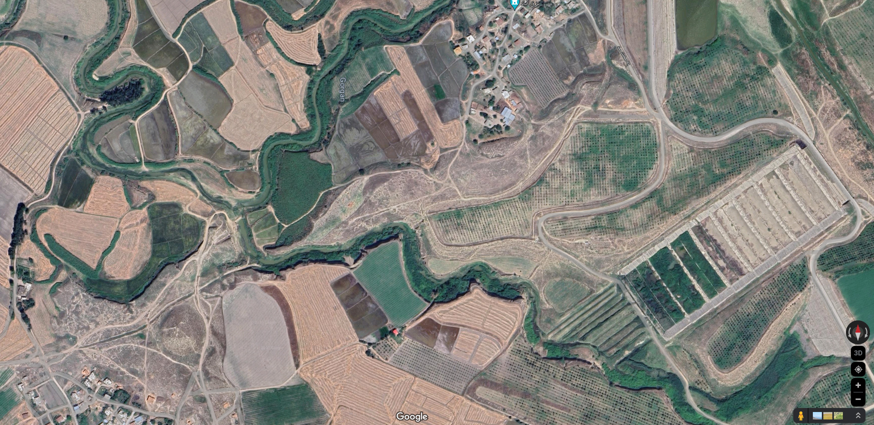
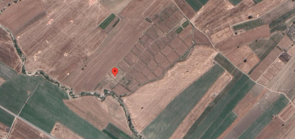
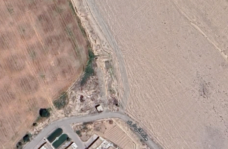
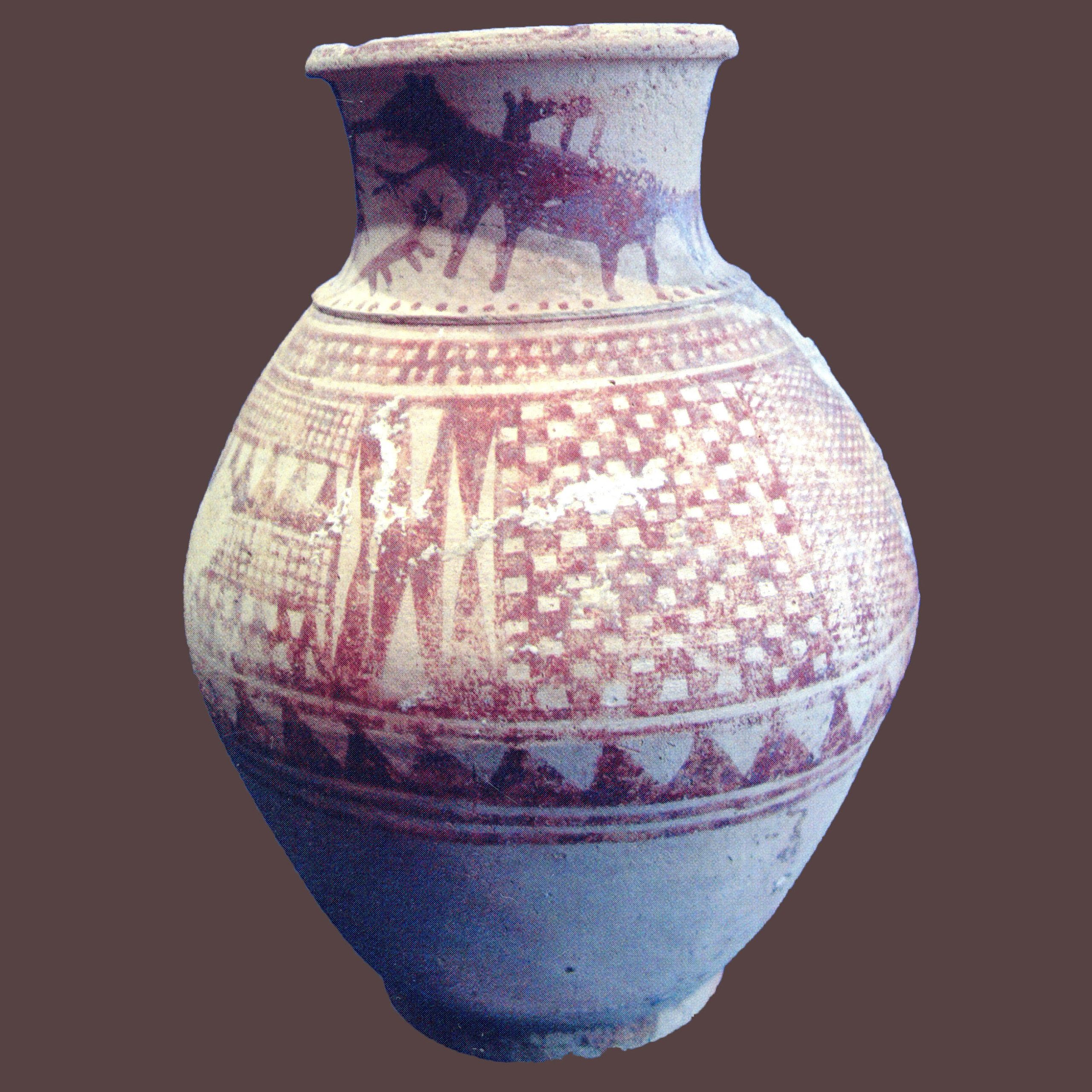
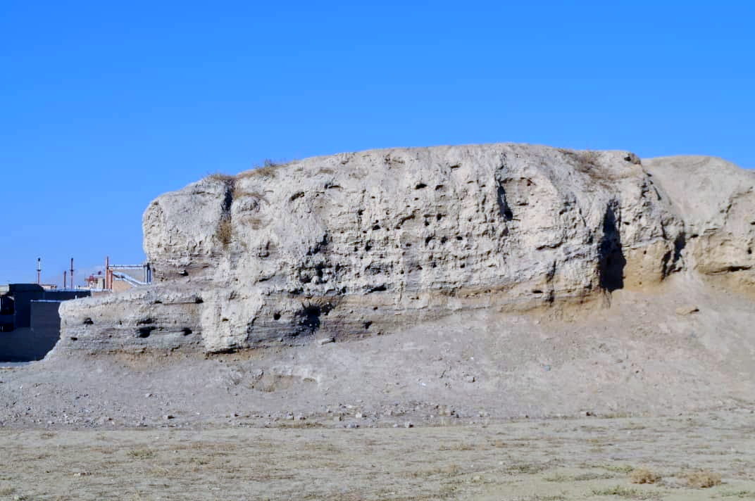
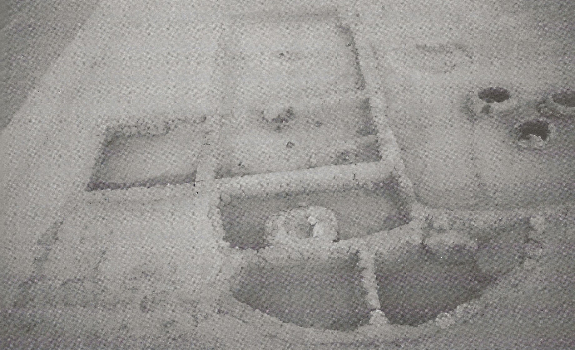
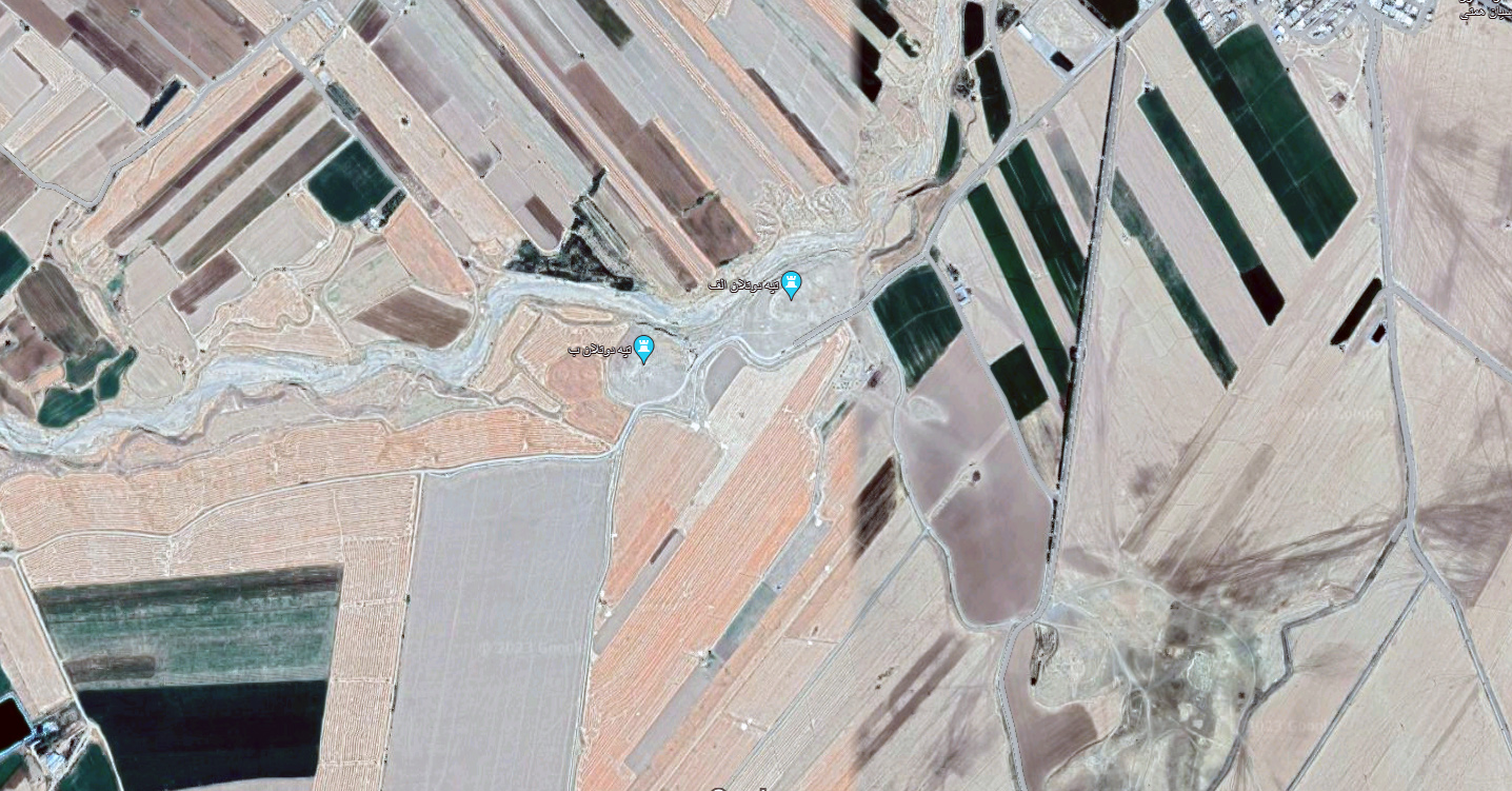
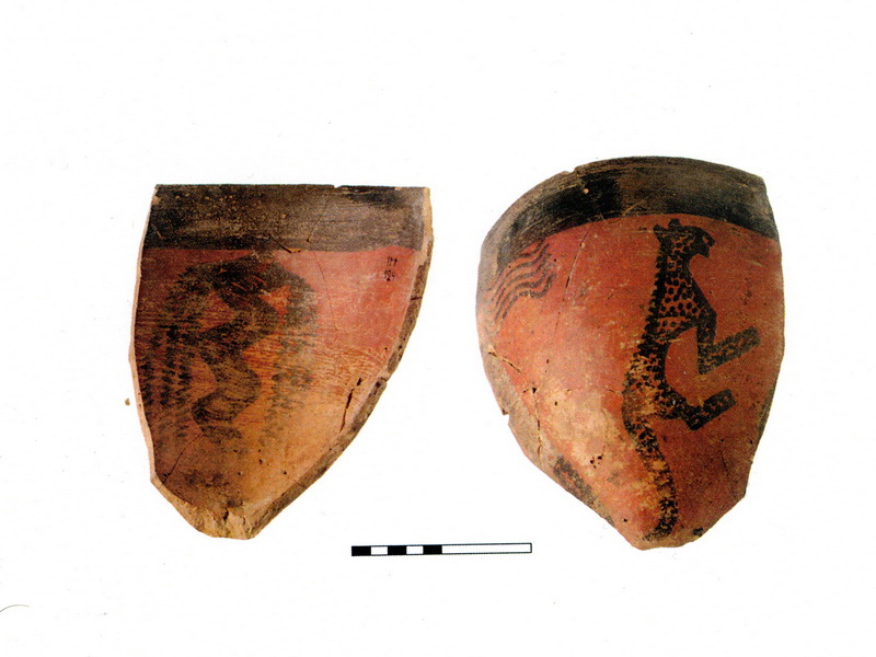
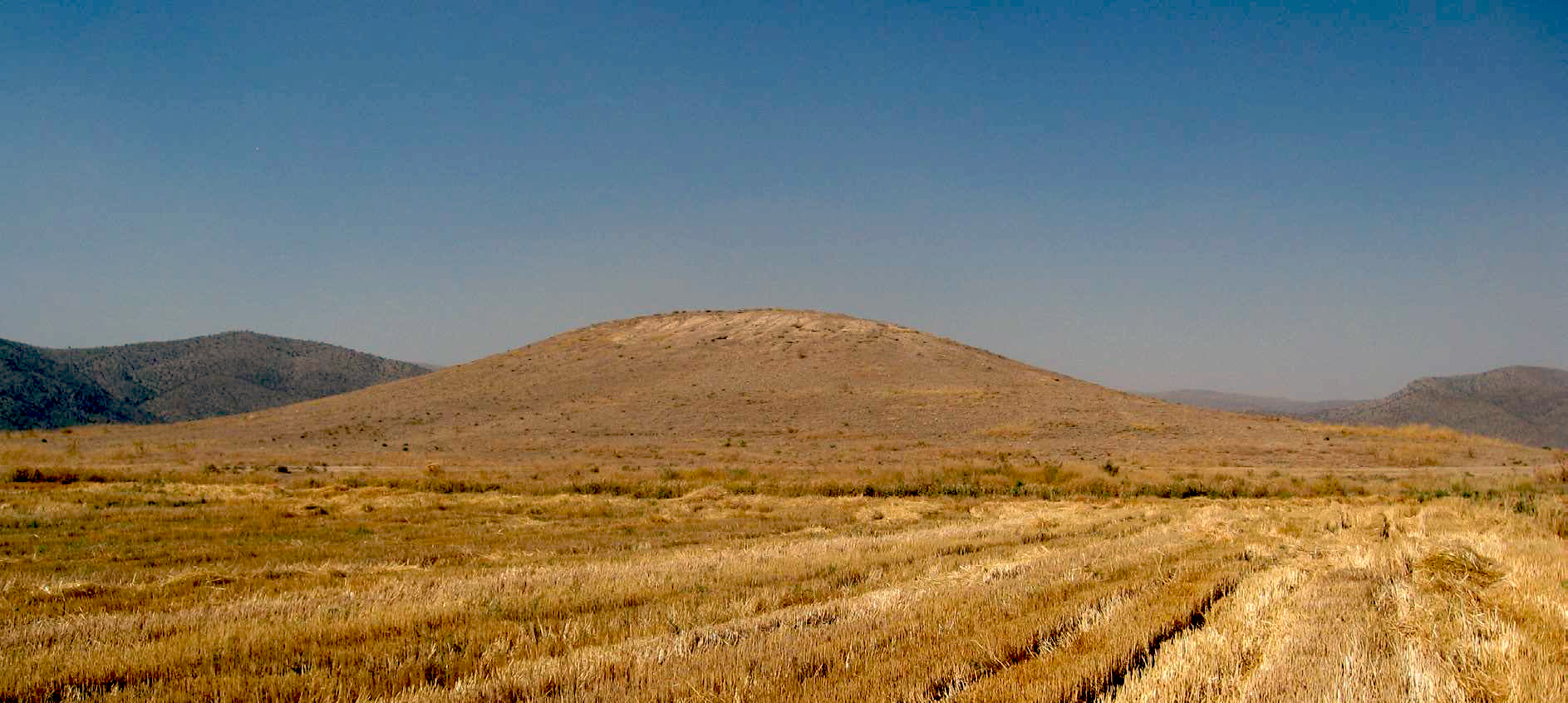
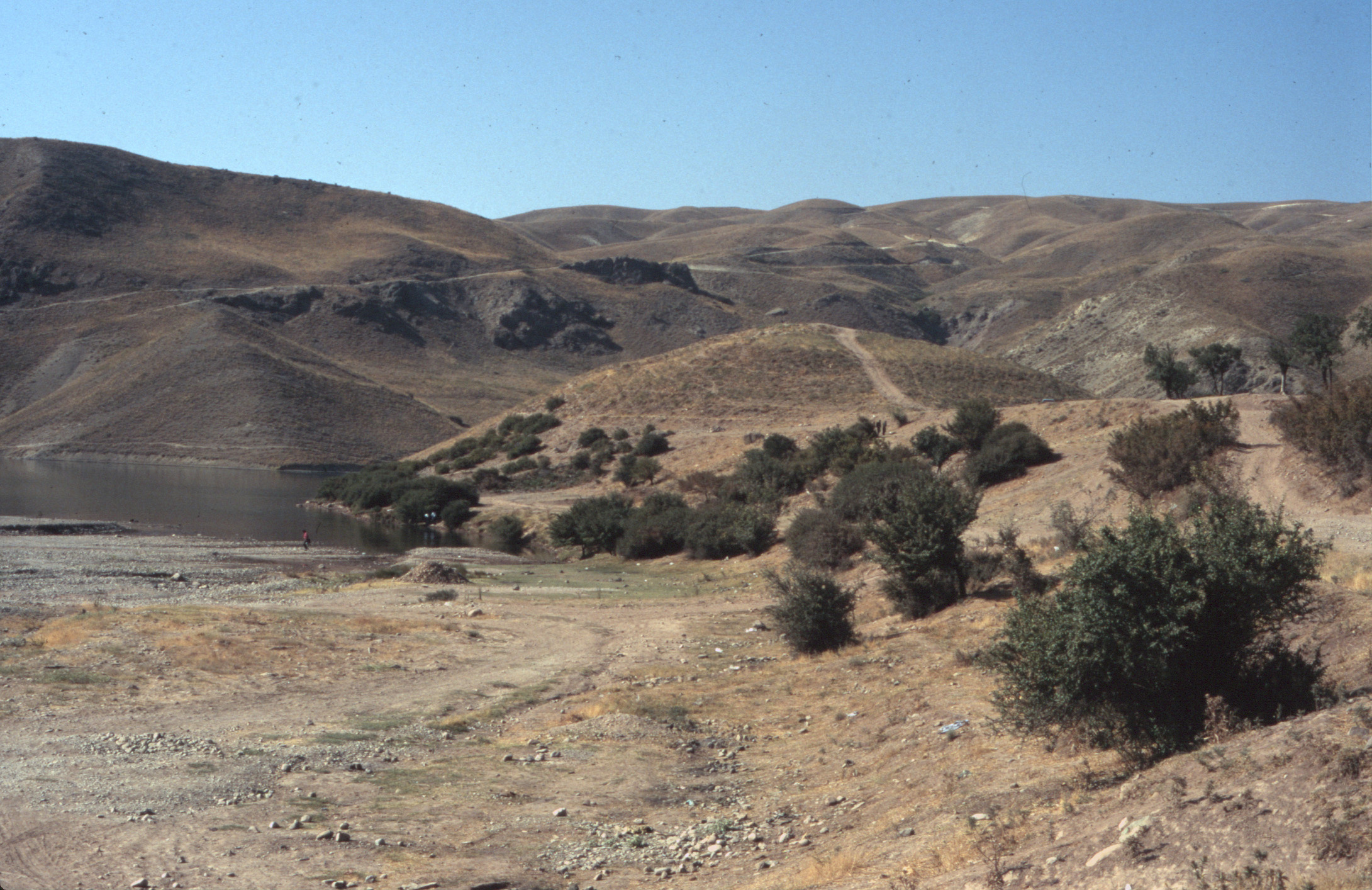
The Plain of Pasargadae has been occupied as early as the fourth millennium B.C. with important archaeological sites such as Tol-e Khari, Tol-e Nokhodi, and Do-Talun. But today, the visible ruins at Pasargadae display the earliest manifestation of Achaemenid art in the sixth century B.C. The site was a symbolic place for the Persians, where Cyrus the Great defeated Astyages, the last king of the Medes, in 550 or 549 B.C. Though Pasargadae was not a capital, it appears to have been a royal residence that maintained its symbolic status after the Persian Empire fell. Art and architecture of the Achaemenid period reflect the eclectic nature of newly conquered lands such as Ionia and Lydia, which were brought by Cyrus.
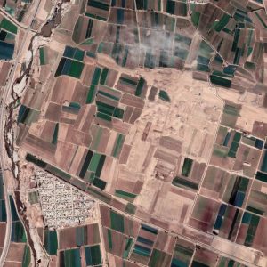
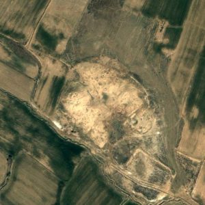
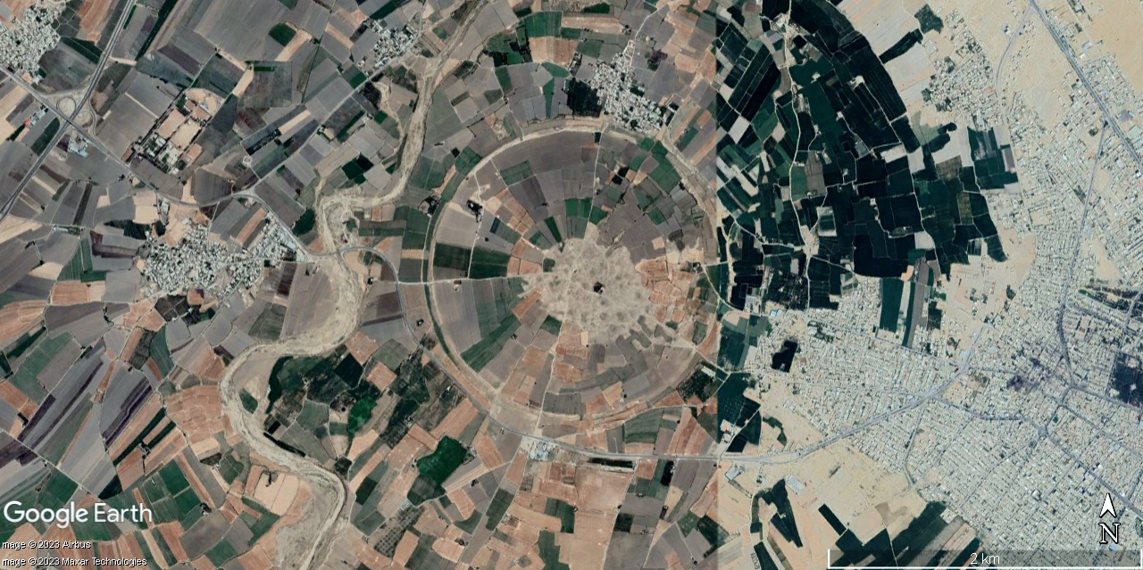
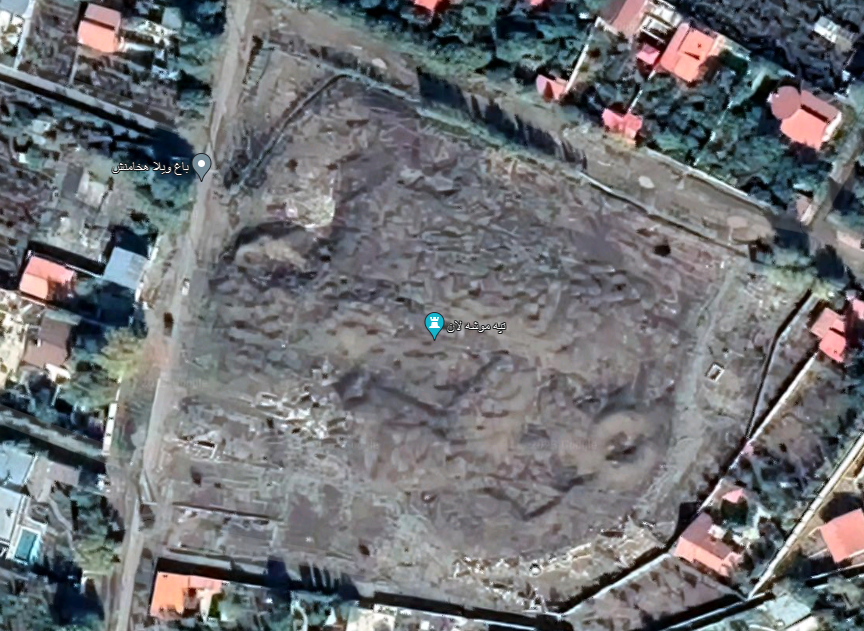
The layout of Pasargadae resembled a royal park or paradise well-furnished with structures (fig. 1). The architectural remains of the site, covering an area of 160 hectares, include the tomb of Cyrus; a citadel known as Tall-e Takht, the royal compound organized around a four-fold garden, with palaces and pavilions, a gatehouse, a ruined tower known as Zendan-e Sōleiman (Prison of Solomon), and two stone plinths in what is known as the Sacred Precinct. Notably, the surviving edifices stand proudly in stone, a departure from the conventional mud-brick construction methods of the time. The buildings at Pasargadae were made of white and black stones sourced from the Sivand mountain quarries, some 30 km southwest of Pasargadae. Royal builders assembled smoothed and dressed blocks of stones using metal clamps (iron or lead) to hold the blocks together as can be seen today in different parts of the ruined monuments.
The construction materials for these remarkable buildings were sourced from the Sivand mountain mines, located approximately 30 kilometers southwest of Pasargadae. Royal craftsmen artfully assembled these blocks of white and black stones, eschewing the use of mortar. Instead, they ingeniously employed metal clamps, fashioned from iron or lead, to secure the stone blocks together—a testament to their skill and craftsmanship, still visible today in various parts of these magnificent but weathered monuments.
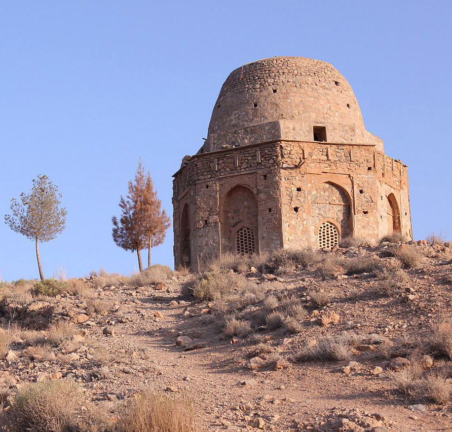
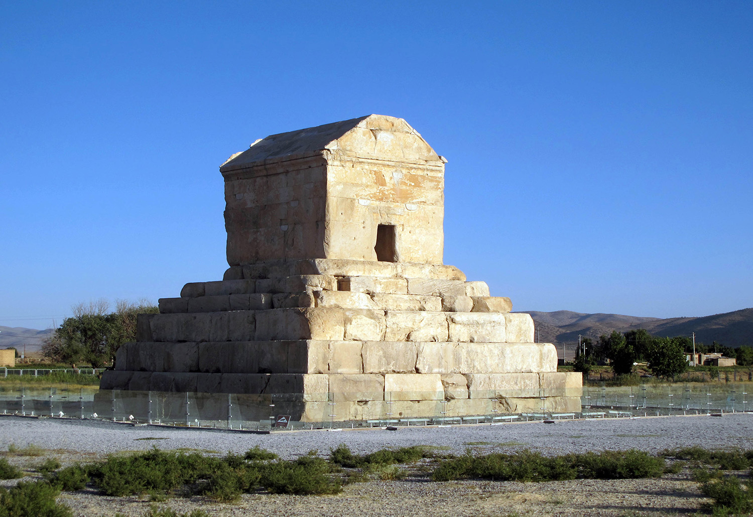
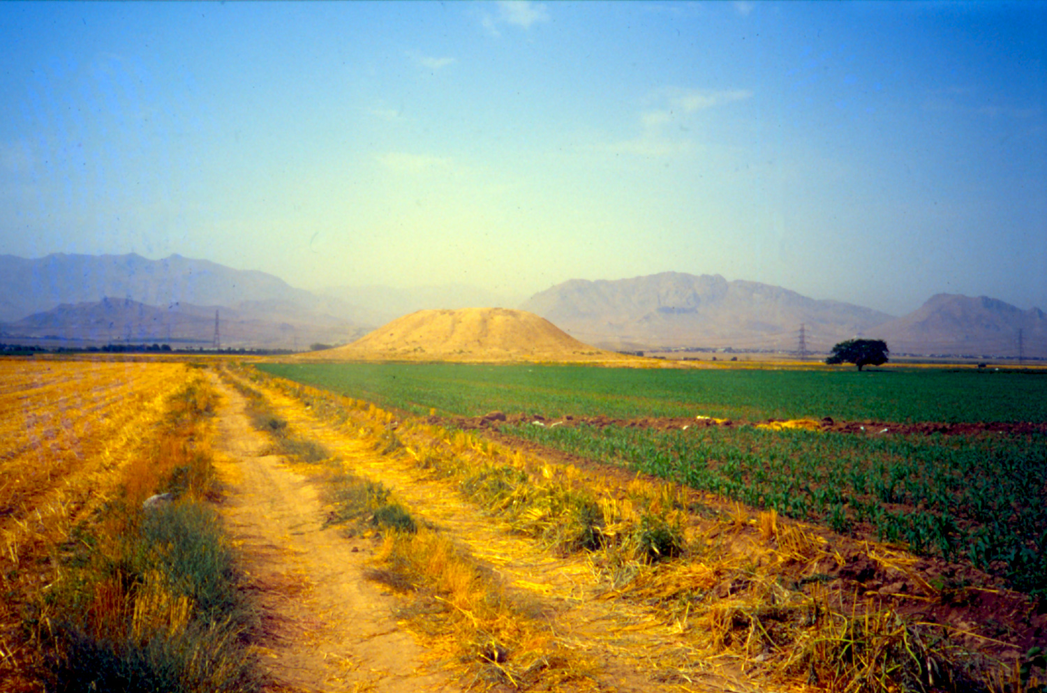
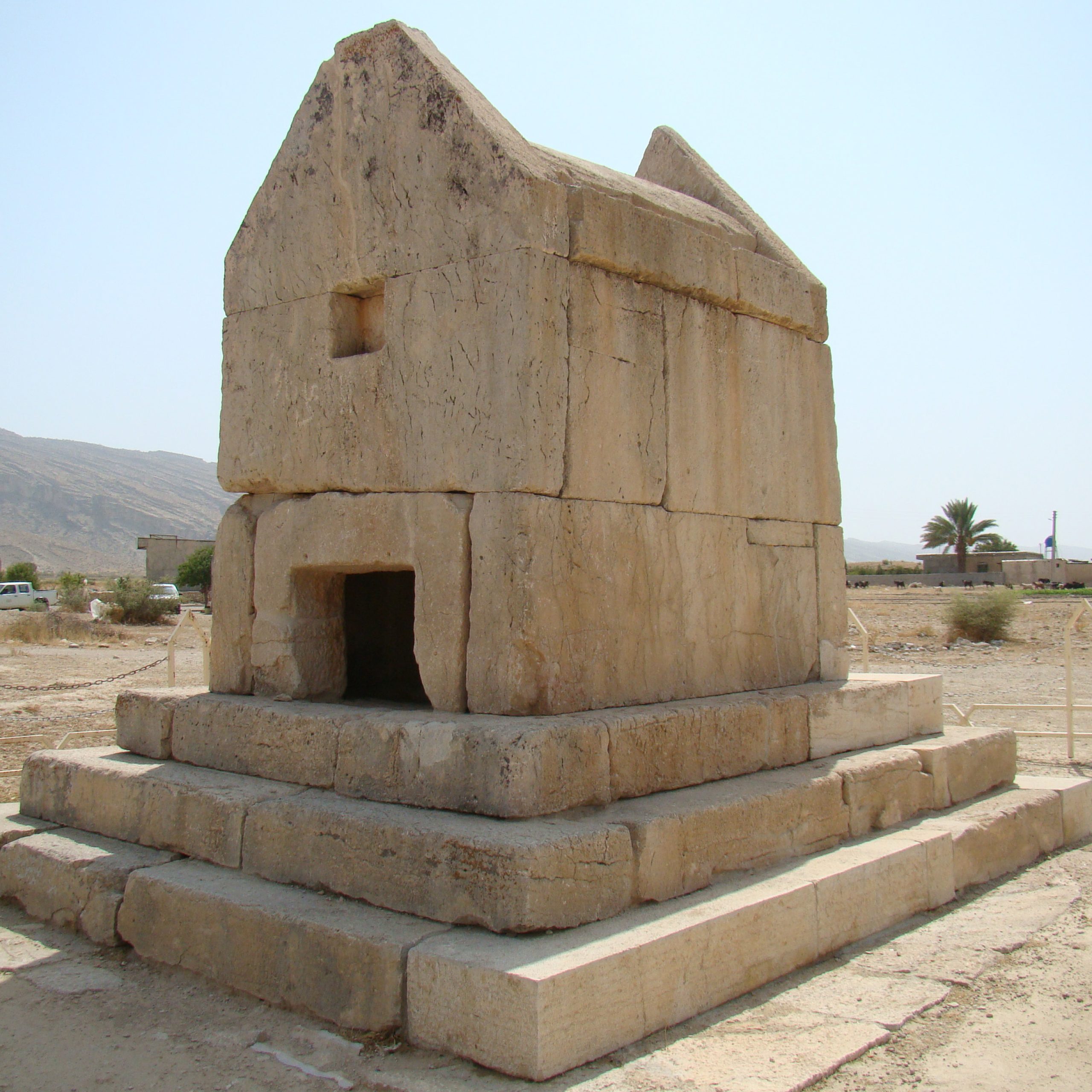
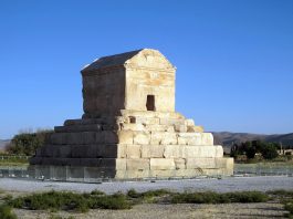
The Tomb of Cyrus: The Tomb of Cyrus stands apart from all other major monuments at the site, in the southern part of the plain (fig. 2). The monument, built probably between 540 and 530 B.C., combines two distinctive elements: an imposing tiered platform and a chamber with a gabled roof which seems to preserve a very earlier form of wooden houses. The total height of the monument is 11 m. The tomb chamber is a small room with smooth and flat walls. The tomb was also in its own garden or park as we are informed by Classical authors, such as Arrian and Strabo, who describe it as being situated in a paradeisos (Arrian, Anabasis VI. 29.4). Strabo gives a similar description (Strabo, Geography XV. 3.7). The tiered building with its gabled roof underwent changes in the course of time, particularly in medieval times when the tomb served as the central part of a mosque founded in the thirteenth century A.D. Izz al-Din Sa’d, the Salghurid ruler of Atabaks of Fars, from whom the celebrated poet, Sa’di, derived his takhallus or nom de plume, changed the compound surrounding the Tomb of Cyrus into a mosque, and his name is recorded in multiple places with the date noted as 620 H./ A.D. 1223. Inside the tomb chamber, the presence of a shallow prayer- niche or mihrab, and an elaborately carved compass on one of the tiers of the base clearly show that the building served as the central part of the medieval mosque. A hoard of gold coins from the same dynasty was found at a spot to the northwest of the Tomb of Cyrus when the area was being leveled in April 1971. There are inscriptions of this dynasty engraved on stone blocks taken from the Achaemenid palaces at Pasargadae. Nearly all of these inscriptions refer to the Salghurid ruler as the heir to the realm of Jam and Solomon, with the two figures often being regarded as one and the same.
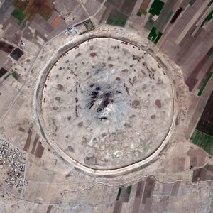
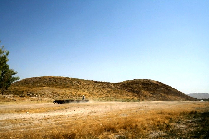
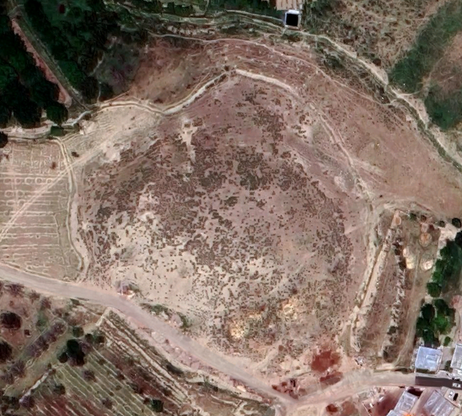
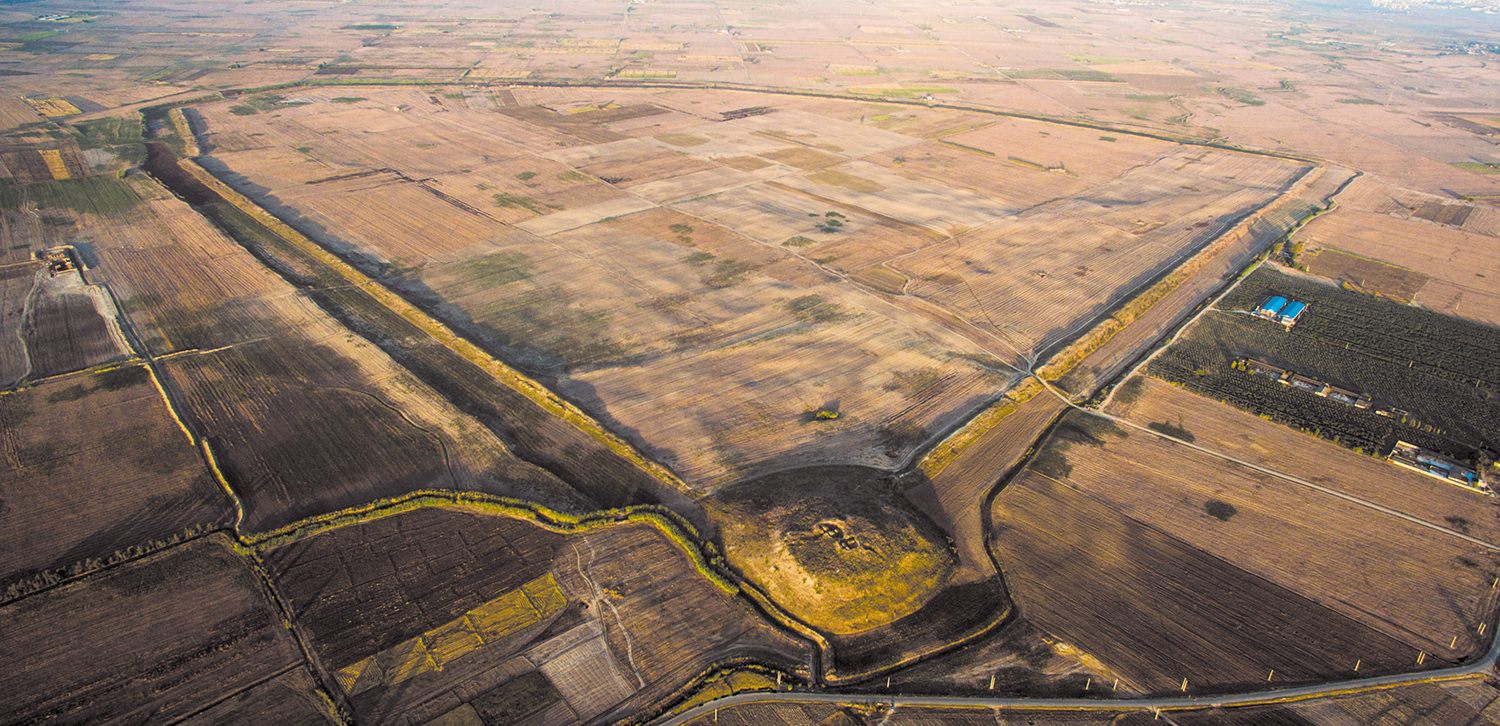
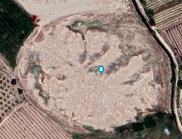
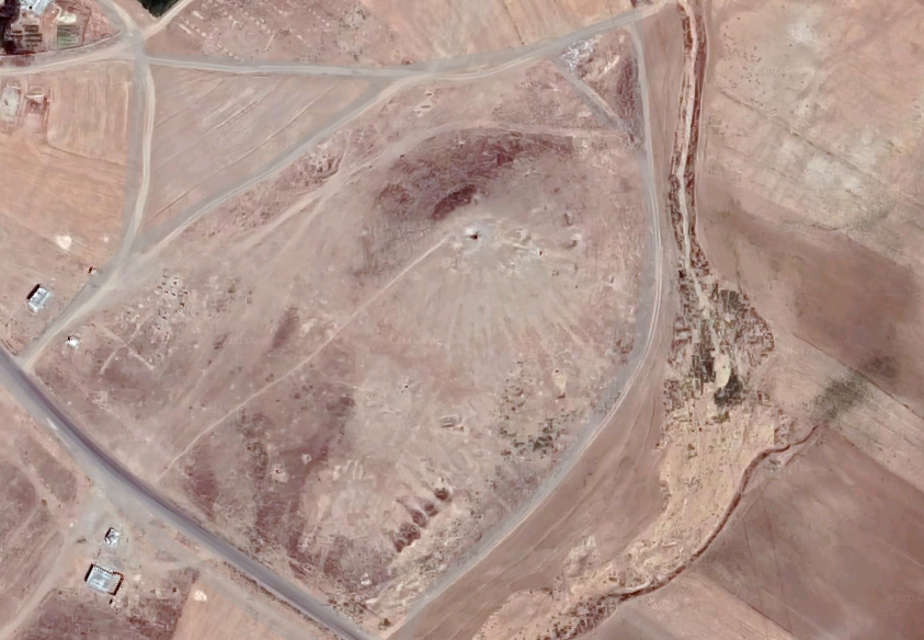
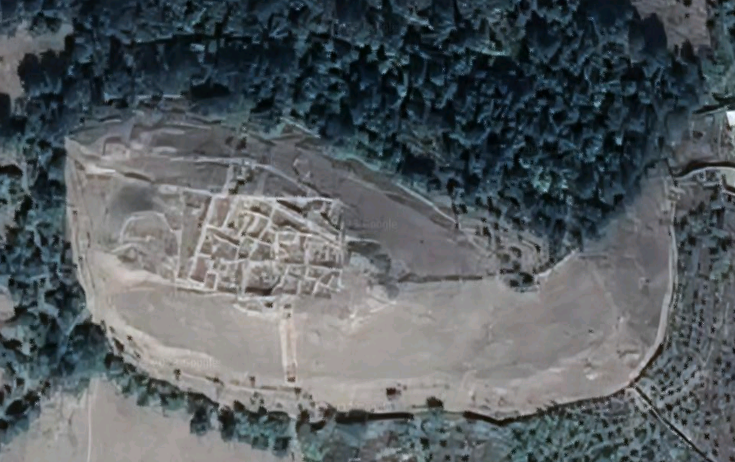
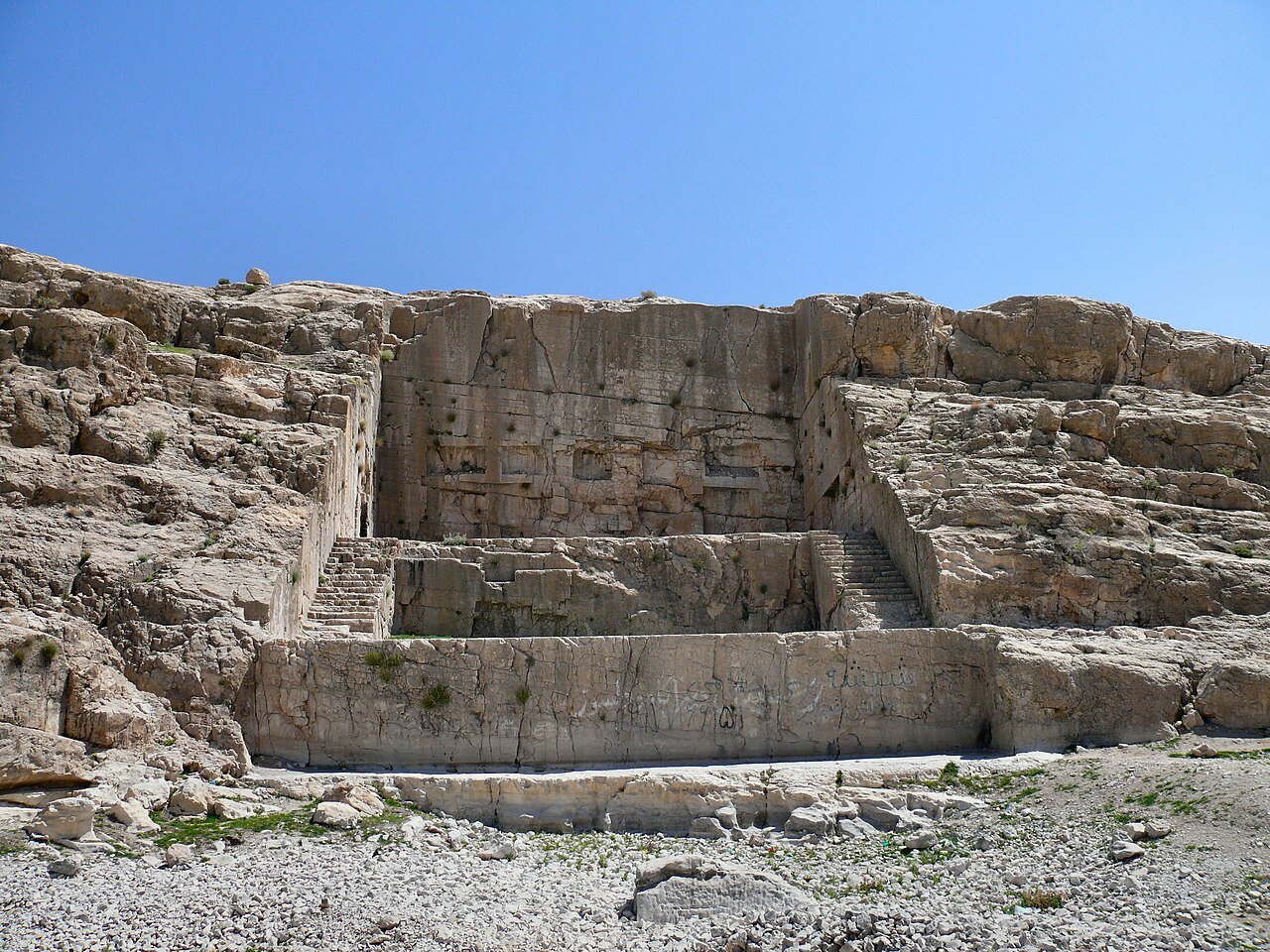
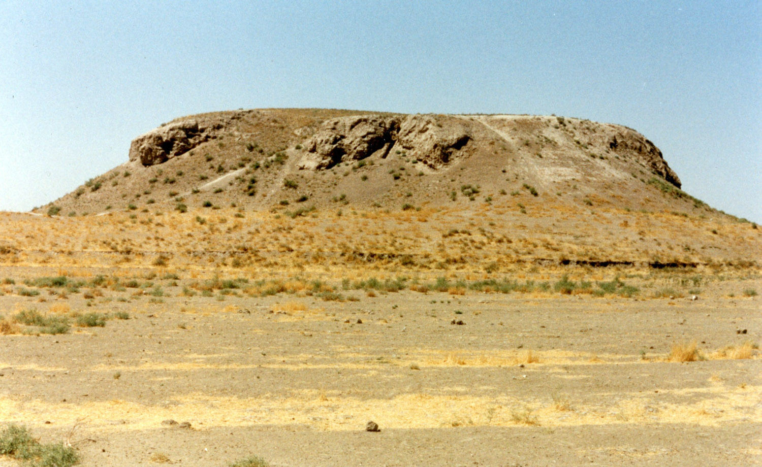
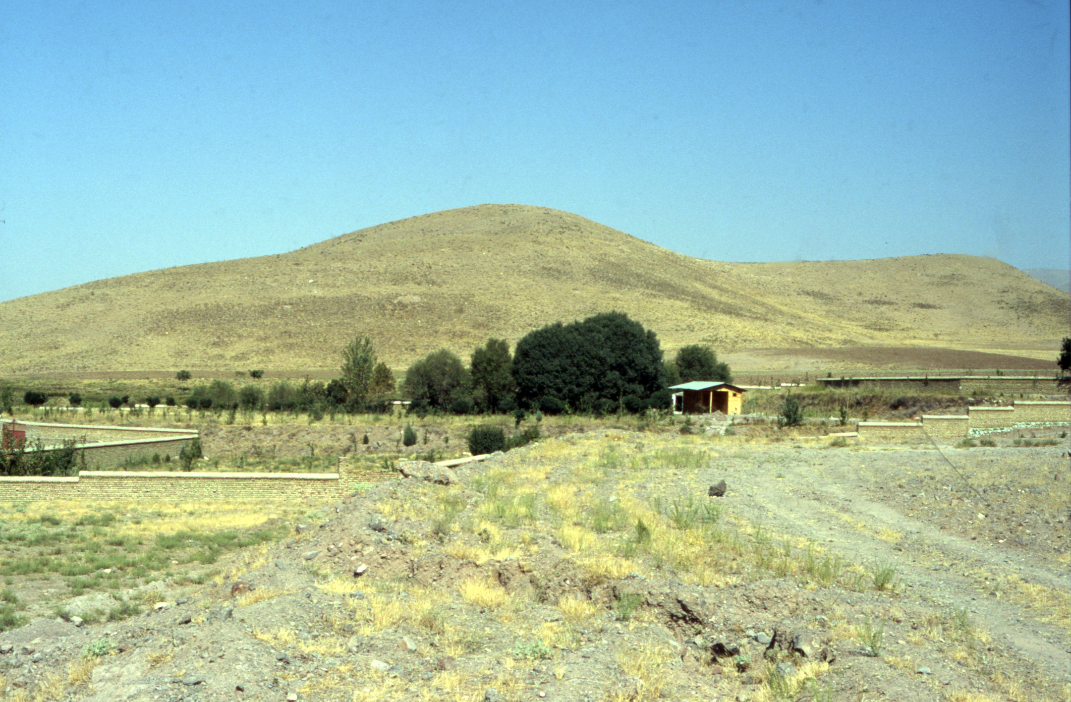
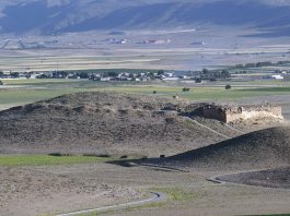
The Tall-e Takht citadel: The great stone platform, roughly 2 hectares, known locally as Takht-e Mādar-e Sōleiman or the Throne of the Mother of Salomon dominates the plain of Pasargadae from the north (fig. 3). It is, in fact, the stronghold of a series of fortifications extended on the northern hills overlooking the plain. The terrace forms a parallelogram with central recesses on its northern and southern sides. It consists of an outer wall made of large, well-drafted limestone blocks and an inner wall composed of roughly fitted blocks of sandstone of random size and shape. Two stone staircases gave access to the terrace from the north side. It seems that the death of Cyrus the Great in 530 B.C. interrupted the construction activity on the Tall-e Takht for about two decades. The second phase of construction began under Darius I (522-486 B.C.). In this phase, mud-brick became the widely used construction material. Later phases date to the Post-Achaemenid or Seleucid period.
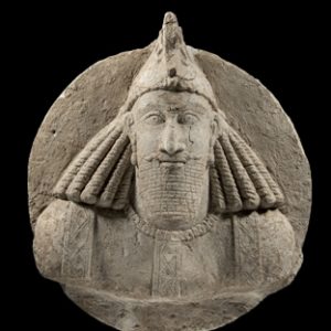
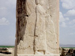
The Propylaeum or Gate with Relief: The main entrance to the royal compound at Pasargadae was a monumental gate or Propylaeum on the eastern limit of the site. The gate is a freestanding, rectangular building measuring 28.50 x 25.50 m. The building features a columned hall, accessed through two principal and two side doorways, which were once adorned with winged figures or human-headed bulls. Notably, in the northeastern doorway, a significant part of the white stone door jamb the main part of the one white stone door jamb remains intact, displaying the famous representation of the four-winged figure (fig. 4). According to travelers’ accounts, the jamb was originally surmounted by a trilingual inscription named Cyrus. The relief shows a four-winged, bearded figure facing left, inward the center of the building. It wears a Phoenician/Egyptian crown on its head and bears an Elamite robe. The figure is a synthesis of iconographic features of a royal or divine character derived from different parts of Cyrus’s empire. Remains of a bridge that once spanned a large canal or watercourse lie 150 m to the west of the Gate.
The Palace with Column or the Audience Hall: The monument known as 'Palace S' or the 'Palace with Column' or the 'Audience Hall', lies almost midway between the Gate and Palace P, some 1250 m northeast of the Tomb of Cyrus. This palace represents some outstanding elements such as the single 13 m-high column in white stone and the three-stone antae, bearing a trilingual inscription with the name of Cyrus. The building consists of a columned hall (32 x 22 m) surrounded by four columned porticoes. The column bases are comprised of a pair of rectangular plinths in black stone topped by a torus. Originally, impost capitals in the form of lions or bulls once crowned the columns. Additionally, the four entrances of the hypostyle hall were once embellished with four pairs of reliefs, depicting winged genii or eagle-footed griffins.
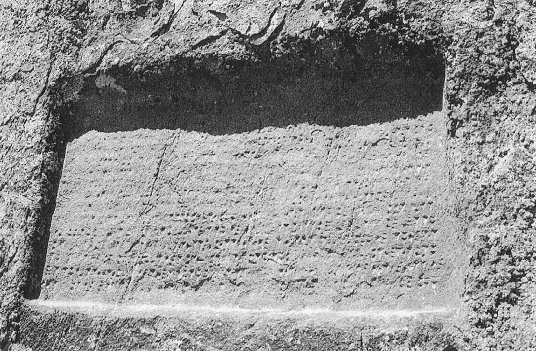
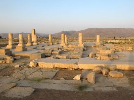
Palace 'P' or the Private Palace: Called sometimes the 'Private Palace' (fig. 5) or the 'Residential Palace' of Cyrus the Great, the building consists of three main parts: a central, columned hall (31 x 22 m) flanked by two large porticoes. A long bench and a seat in stone, possible for the king and his entourage, were attached to the eastern portico that faces the royal garden, on which the king and his entourage sat and contemplated the lofty four-fold garden of Pasargadae. The stone bases are composed of a double plinth and a horizontally fluted torus. No entirely preserved column shaft is preserved today in Palace P. The shafts have a diameter of about 69 cm, and they probably had a height of about 10 m. At the southwest end of the southeastern portico, still, undamaged anta stands 6 m above pavement level, which bears a trilingual inscription “I, Cyrus, the king, an Achaemenian”. The doorways of Palace P were decorated with reliefs that showed a king, followed by an attendant leaving the hall.
The Royal Garden: The garden or the paradise, to which Greek authors frequently refer, lies at the center of the site. The garden is a flat, walled stretch of ground lying between the Palace ‘P’ to the north, Place ‘S’ to the southwest, and the Gate to the southeast. Cyrus’ architects designed a spacious, well-watered ground with rows of trees, shrubs, and grasses. The main features of such a ground called rightly the Royal Garden, have been discovered in the course of archaeological excavations at Pasargadae. The watercourses of the Royal Garden cover a length of over 1100 m. They are set in asymmetrical patterns which must have determined the original position of the paths, the trees, and grassed areas within the garden. Recent fieldwork shows that the Garden extends to the north and northwest towards the stone tower.
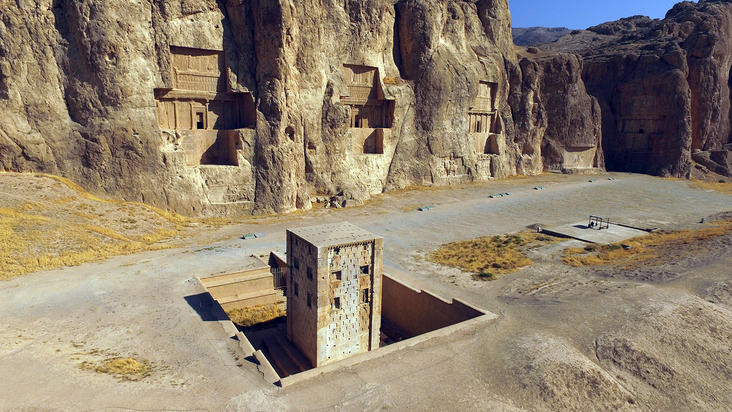
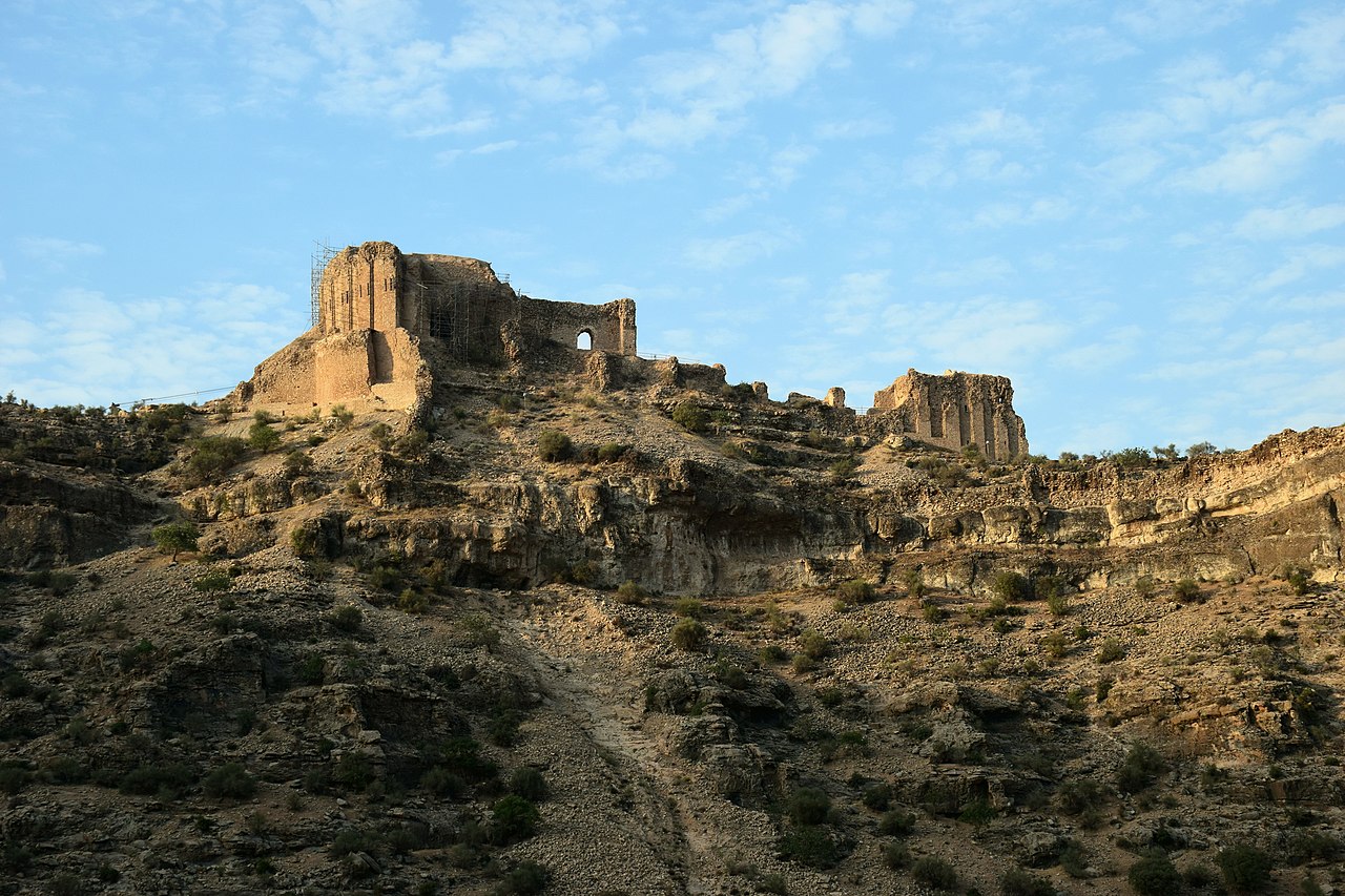
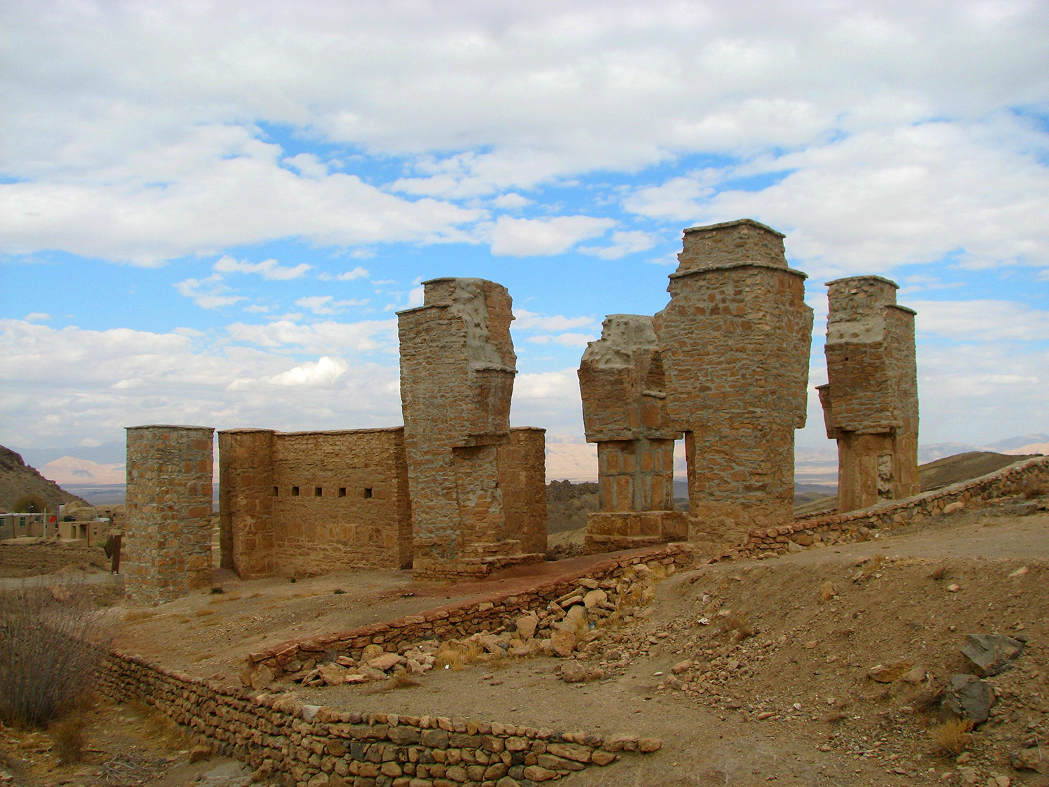
The Zendan: Remains of a ruined tower (fig. 6) known as the Zendan-e Sōleiman (Prison of Solomon), appear to the north of the palace area. It originally consisted of a square tower, capped with a pyramidal roof, with buttressed corners and three rows of false windows on three sides of the building. On the fourth side, there was a staircase that was now quite completely destroyed. This staircase led to a single room or chamber in the upper part of the building. We know all this because we can rely on the very similar building called the Ka’beh Zartōsht (the Cube of Zoroaster) at Naqsh-e Rōstam, near Persepolis. No convincing function has so far been suggested for these enigmatic monuments. The Zendan has been regarded by scholars either as a tomb, a fire temple, or a depository, but this ruined tower continues to defy a reliable interpretation. Recent excavations revealed that there was a large building behind the Zendan, which had deliberately been demolished and filled in the Achaemenid period.
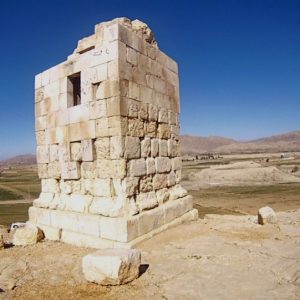
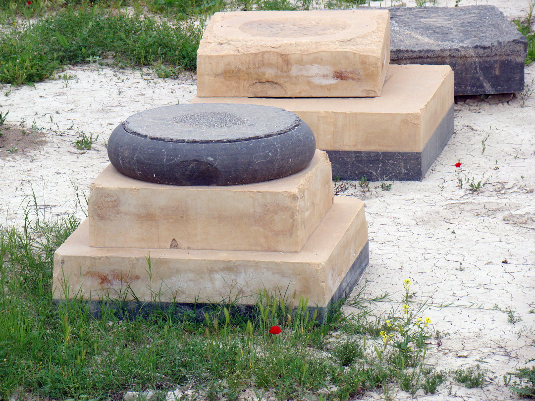
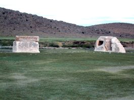
The Sacred Precinct: A low mound and two freestanding stone plinths constitute what is known as the Sacred Precinct which lies beyond a canal that joins the River Polvar, some 1300 m northwest of the royal compound. The roughly rectangular mound rises to a height of 5.40 meters above the surrounding plain, measuring 75 meters in length and 46 to 50 meters in width. The mound takes its name, the Terraced Mound, from a series of receding, superimposed mud-brick platforms atop a natural crop. Recent excavations revealed the existence of a mud-brick fire altar on the highest platform. In contrast to the Terraced Mound, the plinths (fig. 7) have drawn the attention of travelers and scholars since the 19th century, sparking extensive discussions regarding their interpretation. The northern plinth is a hollow square cube of white limestone 2.10 m with a height of 2.80 m. The southern, much more elaborate plinth consists of a hollow white limestone block 2.43 m. at its base and 2.16 high. Access to the top of the plinth is gained utilizing a staircase made of a single block of limestone. Stronach’s meticulous investigations show that both plinths sit on massive foundations of stone blocks.
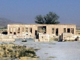
The caravanserai: The ruined building located approximately 100 m to the north of the Tomb of Cyrus has rightly been identified as a caravanserai or hostel (fig. 8). The building, measuring 45.20 x 40.30 m with a central courtyard, is made of white stones taken from the nearby Achaemenid monuments. This caravanserai was built during the rule of Shah Shoja (1358-1374 A.D.) one of the Atabeks of the Mozaffarid dynasty in Fars. Certain scholars think that this construction may have initially served as a religious school or madrassa, in the vicinity of the Mausoleum of the Mother of Solomon (Tomb of Cyrus) and its mosque. Eventually, the building fell into disuse and underwent a conversion into a caravanserai, likely during the late 18th or early 19th century. In 1951, Ali Sami, who was then overseeing the excavations at Pasargadae, took the initiative to restore and reconstruct the dilapidated caravanserai, turning it into the excavation house and administrative offices for the site. Some scholars believe it to be a religious school or madrassa which formed a religious center in the proximity of the Mausoleum of Mother of Salomon (namely the Mausoleum of Cyrus) after the construction of the mosque around the tomb. It was disaffected later and became a caravanserai probably in the late 18th/early 19th century. In 1951, Ali Sami then director of the excavations at Pasargadae restored and reconstructed the ruined caravanserai to become the site’s excavation house and offices.
Archaeological Exploration
During medieval times, the Tomb of Cyrus, also known as the Tomb of Solomon’s Mother, along with its mosque, served as a significant stop for travelers and nomads journeying seasonally between northern and southern regions of Fars. But, in modern times
During medieval times, the Tomb of Cyrus, also known as the Tomb of Solomon’s Mother, along with its mosque, served as a significant stop for travelers and nomads journeying seasonally between northern and southern regions of Fars. Nevertheless, in modern times, given its isolated location on the side of the major route that connected Shiraz to Isfahan, the ruins at Pasargadae attracted very few European travelers. Giosafat Barbaro, a Venetian ambassador and merchant, who visited the site in 1474, writes that the monument was known as the “Tomb of Solomon’s Mother.” The Roman Pietro Della Valle, who must have passed by the ruins in 1621, only makes an allusion to the presence of a tomb at Pasargadae attributed to Solomon’s mother. The German ambassador, Johann Albrecht von Mandelslo, who went to see Persepolis and Pasargadae in 1638, visited the site and described the Tomb of Cyrus as being “in a little chapel, built of white marble, upon a high square of free stonework.” His depiction of the tomb, likely produced from on-site sketches, remains the only picture of the monument preceding the far more accurate illustrations of the nineteenth century. Regarding the attribution of the tomb to Solomon’s mother, a Carmelite Father from Shiraz informed Mandelslo that the monument was the “sepulchre of the mother of Shah Suleiman, the fourteenth caliph.” To the Dutch travelers, John Struys and Cornelis de Bruijn, the tomb was the place for “feminine pilgrimage.” Interestingly, this tradition appears to persist to this day.
In the early decades of the nineteenth century, Sir William Ouseley provided a prominent account of the remains at Pasargadae, drawing extensively from both Classical sources and historians of Islamic Iran. Ouseley highlighted the site’s key monuments such as the Takht-e Madar-e Suleiman (the Throne of Solomon’s Mother), commonly known as the Tall-e Takht, the Divan-Khaneh, which served as the Achaemenid Audience hall (present-day Palace ‘S’) and featured a solitary standing column, and the Zendan, or Prison of Solomon, which bore a striking resemblance to that found at Naqsh-e Rustam. James Morier’s account holds equal importance as he was the first author to draw attention to the fact that the structure commonly known as the Tomb of Solomon’s Mother corresponds to the monument described by the Classical authors, such as Arrian and Strabo, as the Tomb of Cyrus the Great. Robert Ker Porter, another Englishman in the service of the Russian Empire, was the first visitor to Pasargadae to refer to the ruins by this name. Both Ker Porter and the French architect Charles Texier published drawings of the winged figure and the trilingual inscription that once surmounted it, which were only superseded by the publication of the most elaborate work of Eugène Flandin and Pascal Coste in their Voyage en Perse published in 1850-51.
Ernst Herzfeld’s first visit to the site in 1905 marks a turning point in the history of the archaeological exploration at Pasargadae. He became so fascinated with the ruins that wrote his doctoral dissertation on the history and archaeology of Pasargadae, published in 1907. The first excavations at Pasargadae go back to the aftermath of the promulgation of the abolition of the French Monopoly. In the spring of 1928, Herzfeld organized an expedition for excavating at Pasargadae under the auspices of the Notgemeinschaft der Deutschen Wissenschaft. He uncovered parts of the two palatial constructions referred to as Palace ‘S’ (Palace mit der Saule) and Palace ‘P’ (Palace mit der Pfeiler) in his nomenclature. He also explored the main Achaemenid gate, which he called Gate ‘R’ (Gebäude mit dem Relief). Additionally, he briefly excavated the mound located in what he referred to as the Temple area, now called the Sacred Precinct.
In 1934, Sir Aurel Stein visited the plain of Pasargadae. He was the first archaeologist to pay attention to the pre-Achaemenid settlement of the plain. He opened test trenches at the Neolithic mound (hillock A) of Do Tulan or Do Talūn located at the southern end of the plain, and recorded the small site of Tol-e Seh Asiyābonto the east bank of the Pulvār River. Following three days of intensive work, he and his topographer, Muhammad Ayub Khan, produced the most accurate site plan ever produced till that time.
In 1937, Erich Schmidt flew over the site and took the first aerial pictures of the ruins, revealing valuable details of the Achaemenid ruined monuments and structures, notably the Sacred Precinct, the Zendan’s surroundings, and the Tall-e Takht’s polygonal fortification wall.
Between 1949 and 1951, Ali Sami carried out large-scale excavations at Pasargadae on behalf of the Iranian Department of Archaeology. Sami completed the excavation of the palatial structures (Palace ‘S’ and Palace ‘P’) and uncovered the two staircases on Tall-e Takht. He also carried out restoration work, using cement, at the Tomb of Cyrus, the ruined 13th-century caravanserai, and in Palace ‘S’ and Palace ‘P’, and built low stone walls to protect them.
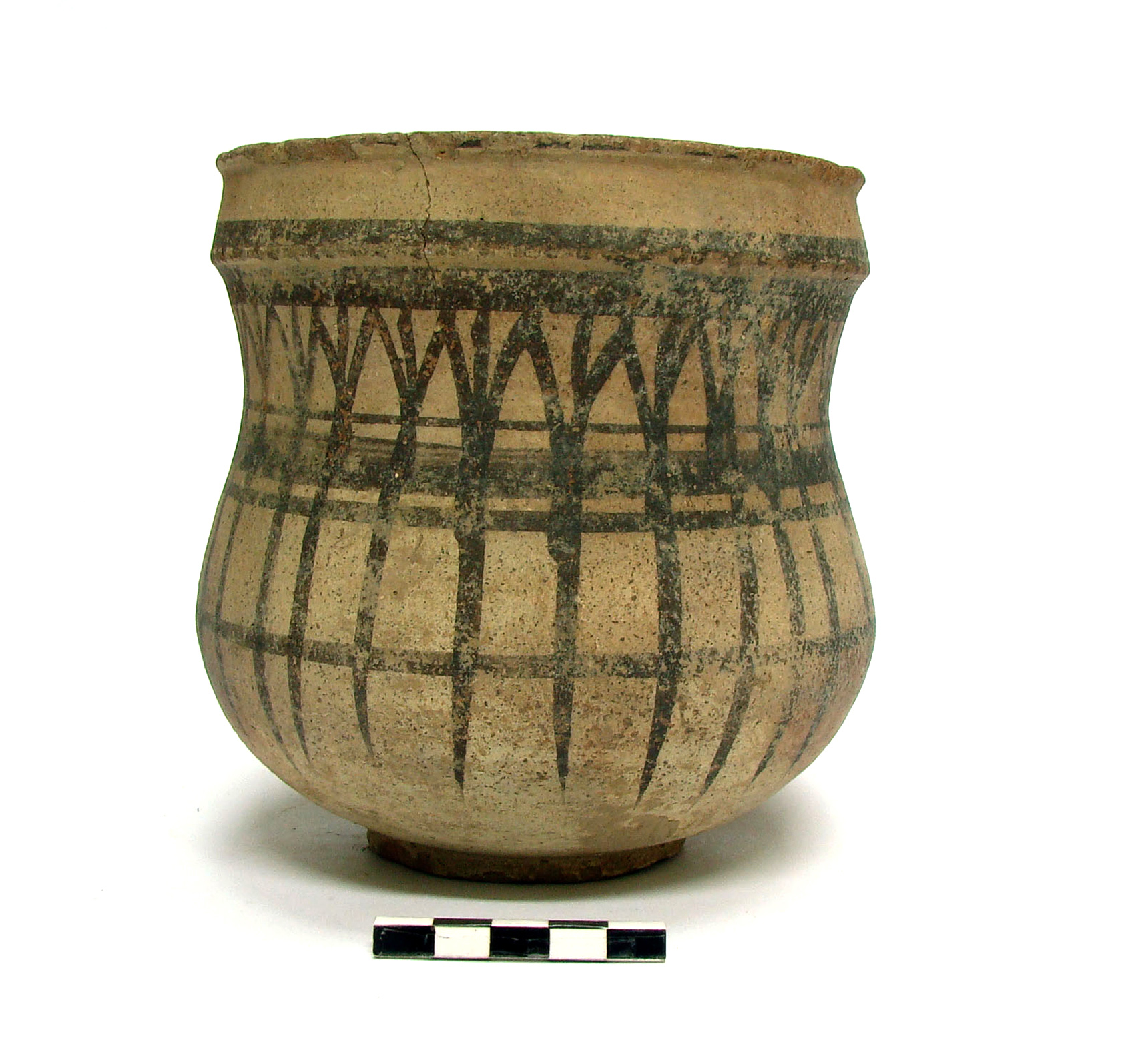
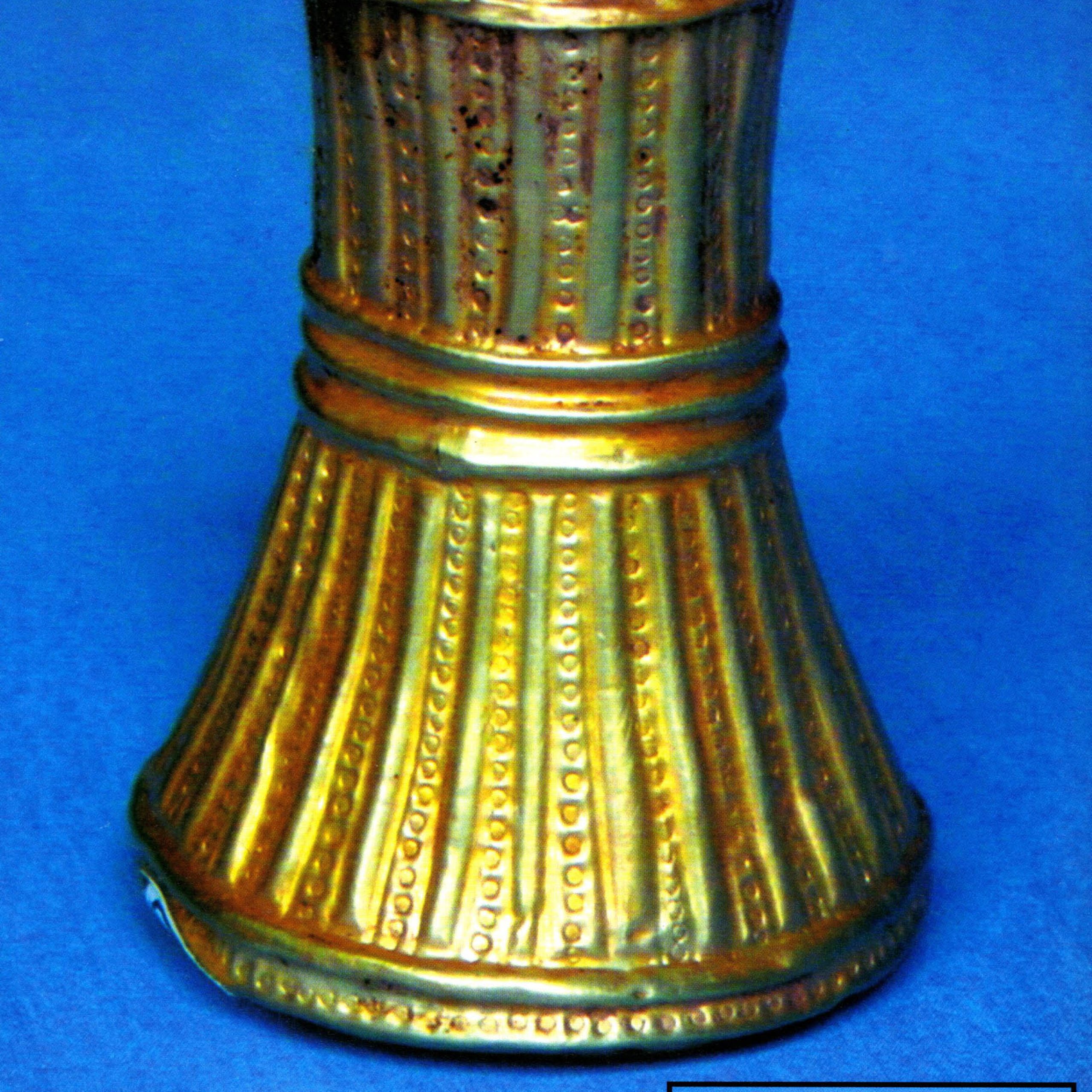
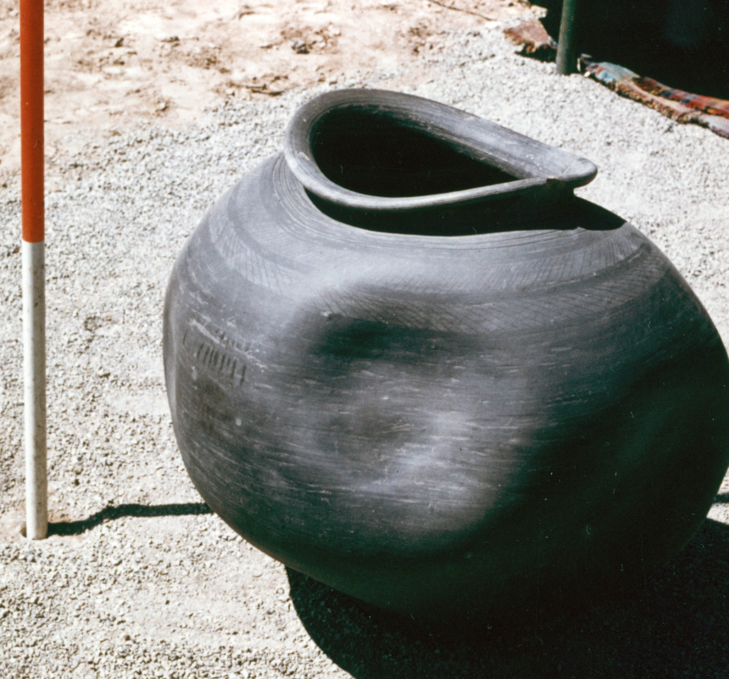
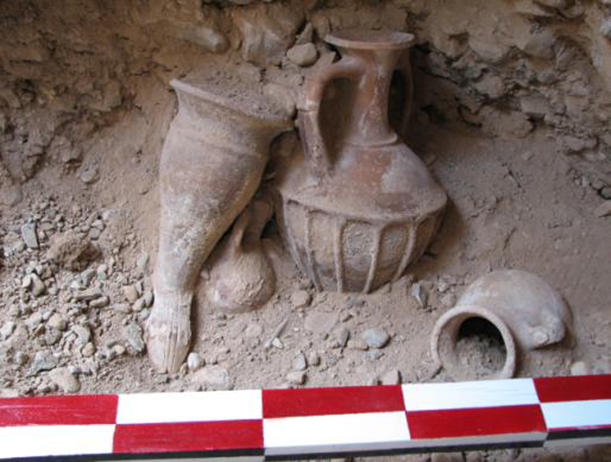
From 1961 to 1963, a team from the British Institute of Persian Studies under the direction of David Stronach conducted further fieldwork at the site. Stronach’s excavations on the Terraced Mound within the Sacred Precinct not only shed light on the chronological sequence of various occupation periods at Tall-e Takht but also corroborated several of Herzfeld’s findings. Stronach made two important discoveries: In the 1963 season, the excavations near the southern arm of the southwest portico of Pavilion B revealed a tall, buff-ware Achaemenid jar containing a rich collection of fifth-century B.C. objects in gold, silver, and other precious materials. Stronach’s final report is the fundamental reference for future studies on Pasargadae while Carl Nylander’s study of Achaemenid architectural techniques is a significant contribution to the study of Achaemenid stone structures and their chronology.
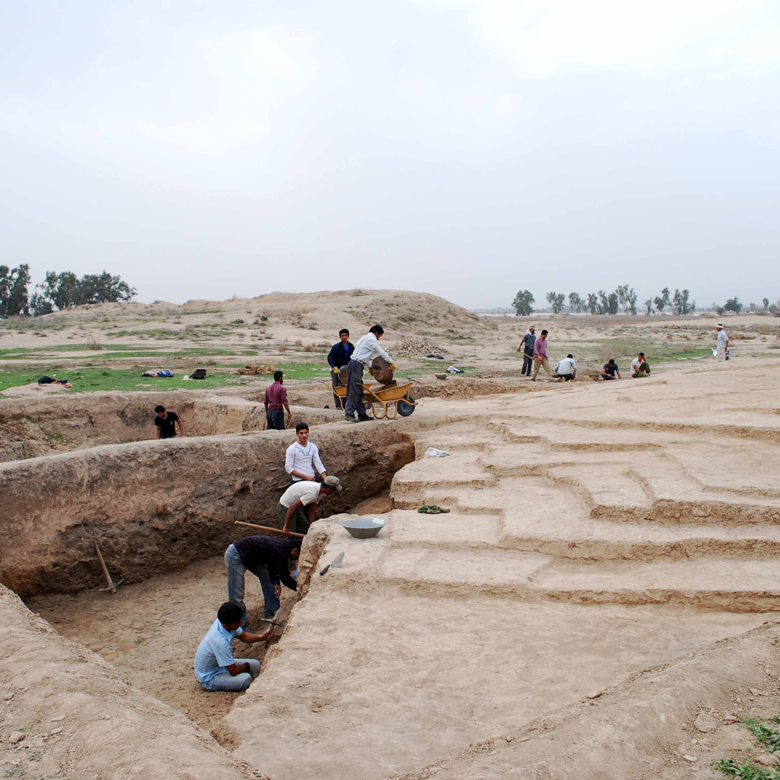
In 2004, Pasargadae was registered on the World Heritage List of UNESCO. Between 1999 and 2008, a French team led by Rémy Boucharlat, carried out five field campaigns of geomagnetic surveys. In 2006-2007, an Iranian-Italian mission briefly explored Tall-e Takht to re-study and clarify the chronological sequence proposed by Stronach by absolute dating. In June 2006, Ali Mousavi and Muhammad Taqi Atayi carried out a limited excavation near the Tall-e Takht in search of stone fragments that once belonged to the second door of the Zendan monument. In 2006-2007, an Iranian-Italian mission briefly explored Tall-e Takht to re-study and clarify the chronological sequence proposed by Stronach by absolute dating. In June 2006, Ali Mousavi and Muhammad Taqi Atayi carried out a limited excavation near the Tall-e Takht in search of stone fragments that once belonged to the second door of the Zendan monument. From 2015 to 2019, a Franco-Iranian team led by Sebastien Gondet and Kourosh Mohamadkhani began another five-year field project at the site between at the site aiming at outlining the limits of the Pasargadae urban area by conducting further geomagnetic surveys and mapping the settlement pattern of its nearby territory. From 2016 to 2018, Ali Mousavi conducted fresh archaeological excavations at the site, in particular around the ruined tower known as the Zendan and in the Sacred Precinct.
Finds
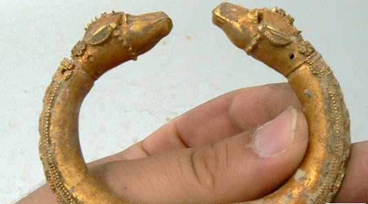
Aside from the architectural remains, the excavations at Pasargadae yielded a large number of artifacts. They primarily consist of broken fragments of stone structures and sculptures, inscribed blocks, including a complete Old Persian copy of the Daiva inscription of Xerxes (XPh), typical Achaemenid potsherds, an important hoard of 1162 objects found in Pavilion B in the confines of the Garden, three hoards of Seleucid coins in gold or silver found on the Tall-e Takht, seals and beads in stone, objects in terracotta. The finds from Stronach’s excavations have all been inventoried and published. The finds from Sami’s excavations have never been inventoried or fully published. It seems that Herzfeld kept a record of his excavated finds (mostly potsherds and fragments of wall paintings) but never published them.
Bibliography
Amiet, P., “À Pasargades: autels du feu ou soubassements de tours: une suggestion,” Arta 2013.001, pp. 1-8.
Askari Chaverdi, A., and P. Callieri, “Preliminary Report on the Italo-Italian Stratigraphic Study of the Toll-e Takht, Pasargad. Investigations on the Material Culture of the Achaemenid and Post-Achaemenid Periods in Fars,” In Ancient and Middle Iranian Studies. Proceedings of the 6th European Conference of Iranian Studies, held in Vienna, 18-22 September 2007, edited by M. Macuch, D. Weber and D. Durkin-Meisterernst, Wiesbaden, 2010, pp. 11-28.
Boucharlat, R. and Ch. Beneche, Organisation et aménagement de l’espace à Pasargades : Reconnaissances archéologiques de surface, 1999-2002. ARTA 2002.001.
Benech, Ch., Boucharlat, R., Gondet, S, “Organisation et aménagement de l’espace à Pasargades – Reconnaissances archéologiques de surface, 2003-2008”, Arta 2012.003 (http://www.achemenet.com/document/2012.003-Benech_Boucharlat_Gondet.pdf)
Gondet, S. et al., “Field report on the 2015 Current Archaeological Works of the Joint Iran-French Project on Pasargadae and its Territory,” Iranian Heritage Studies, vol. 1, No. 2, pp. 60-87.
Herzfeld, E., “Pasargadae. Untersuchungen zur persischen Archäologie.” Klio, vol. 8, 1908, pp. 1-68.
Herzfeld, E., “Bericht über die Ausgrabungen von Pasargadae 1928.” Archaeologische Mitteilungen aus Iran, vol. 1, fasc. 1, 1929, pp. 4-16.
Kleiss, W., “Madar-e Suleiman, das Grab des Kyros als Islamisches Heiligtum,”
Archaeologische Mitteilungen aus Iran, vol. 12, Berlin, 1979, pp. 281-287,
Nylander, C., Ionians in Pasargadae. Studies in Old Persian Architecture, Uppsala, 1970.
Mousavi, A., “Pilgrimage to Pasaragade,” in Cyrus the Great. An Ancient Iranian King, edited by T. Daryaee, Santa Monica, CA, 2013, pp. 28-39.
Sami, A. ,“Pasargad ya qadim tarin payetakht-e shahahnshahi-ye Iran,” Gōzareshha-ye Bāstānshenāsi, vol. 4, Tehran, 1960, pp. 35-37 (in Persian).
Sami, A., “Gōzāresh-e khābardāriha-ye Pasargad”, Gōzareshha-ye Bāstānshenāsi, vol. 1, Tehran, 1950, pp. 1-17 (in Persian).
Sami, A., Pasargadae. The Oldest Imperial Capital of Iran, Shiraz, 1956.
Sancisi-Weerdenburg, H., 1983, “The Zendan and the Ka’bah”, H. Koch and D. N. Mackenzie (eds.), Kunst, Kultur und Geschichte der Achämenidenzeit und ihr Fortleben (Archäologische Mitteilungen aus Iran, Ergänzungsband 10), Berlin: 145-151.
Schmidt, E. F., Flights Over Ancient Cities of Iran, Chicago, 1940.
Schmidt, E. F., Persepolis, vol. 1, Chicago, 1953.
Schmidt, E. F., Persepolis, vol. 3, Chicago, 1970.
Stein, A., “An Archaeological Tour in the Ancient Persis.” Iraq 3, No. 2, 1936, pp. 111-225.
Stronach, D., “Excavations at Pasargadae. First Preliminary Report", Iran, vol. 1, 1963, pp. 19-42.
Stronach, D., “Excavations at Pasargadae. Second Preliminary Report,” Iran, vol. 2, 1964, pp. 21-39.
Stronach, D., “Excavations at Pasargadae. Third Preliminary Report,” Iran, vol. 3, 1965, pp. 9-40.
Stronach. D., Pasargadae, Oxford, 1978.
Stronach, D., “The Royal Garden at Pasargadae: Evolution and Legacy,” in Archaeologia Iranica et Orientalis, Miscellanea in Honorem Louis Vanden Berghe, edited by L. de Meyer and E. Haerinck, vol. 1., Gent, 1989, pp. 475-502.
Stronach, D., “Darius at Pasargadae: A Neglected Source for the History of Early Persia,” Topoi. Orient-Occident, Supplément 1, Recherches récentes sur l'Empire achéménide,
Lyon, 1997, pp. 351-363
Stronach, D., “Solomon at Pasargadae: Some New Perspectives,” Bulletin of the Asia Institute, New Series, vol. 24, 2010, pp. 1-14.
Stronach, D., and H. Gopnik, “Pasargadae”, in Encyclopaedia Iranica Online, © Trustees of Columbia University in the City of New York, 2020.


 DOWNLOAD AS PDF
