Ozbakiازبکی
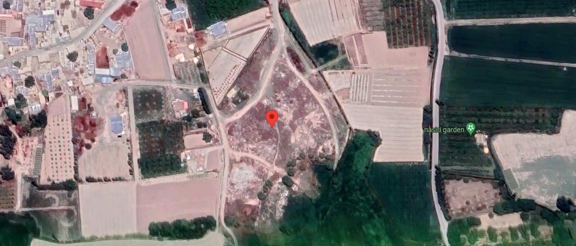
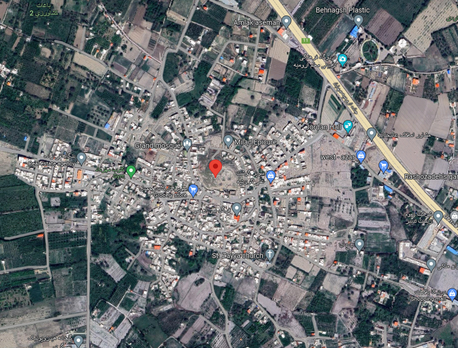
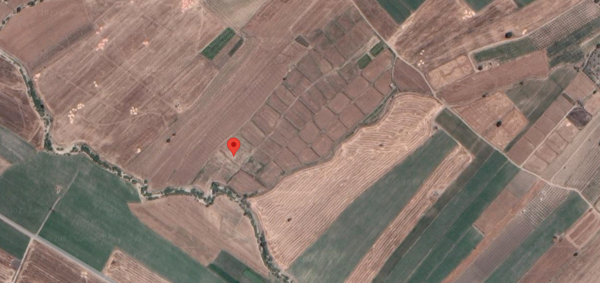
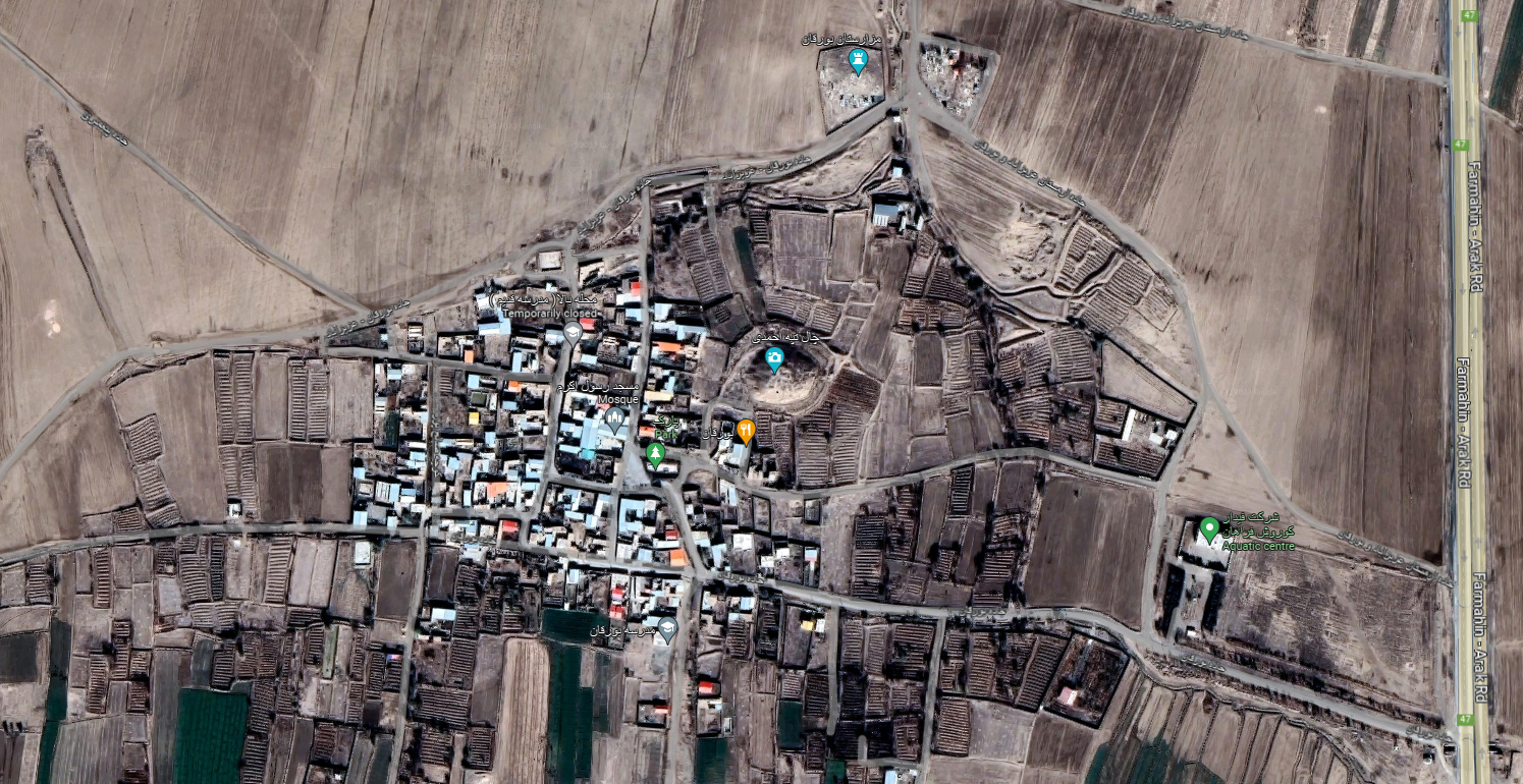
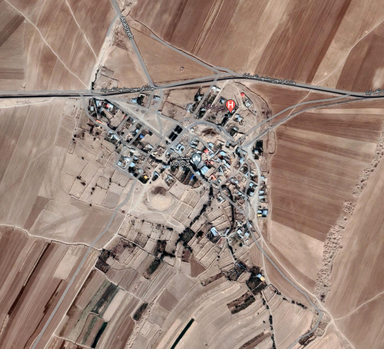
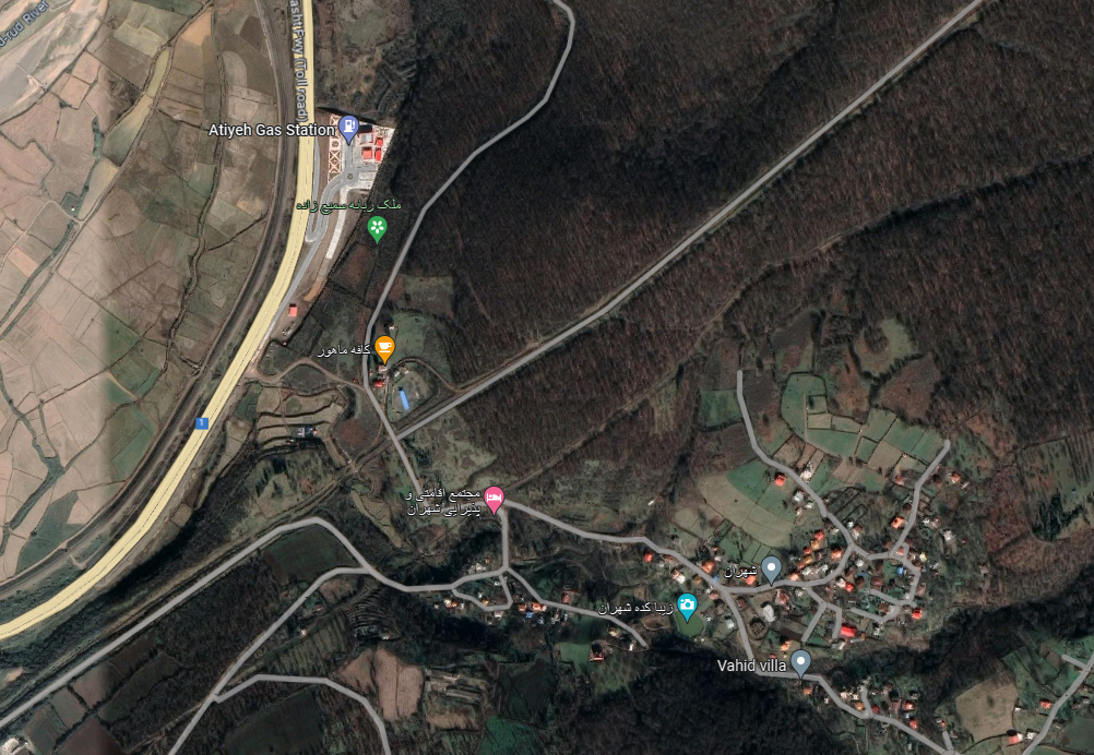
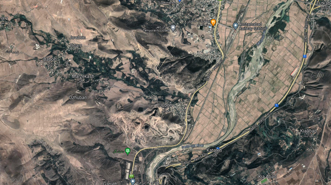
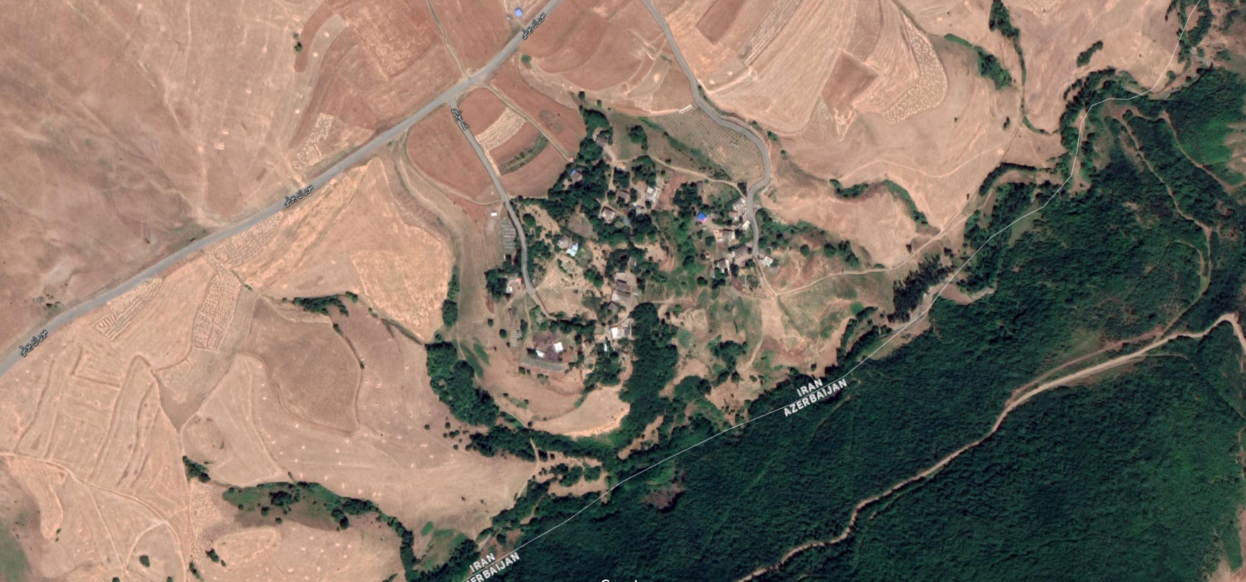
Location: Ozbaki is an archaeological site near the town of Nazarābād in central northern Iran, Alborz Province.
35°58’52.8″N 50°35’12.9″E
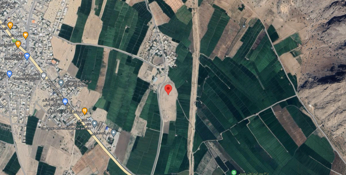
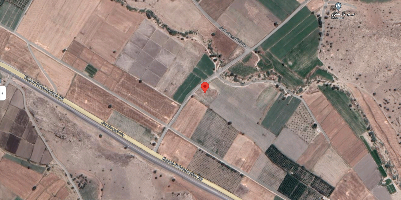
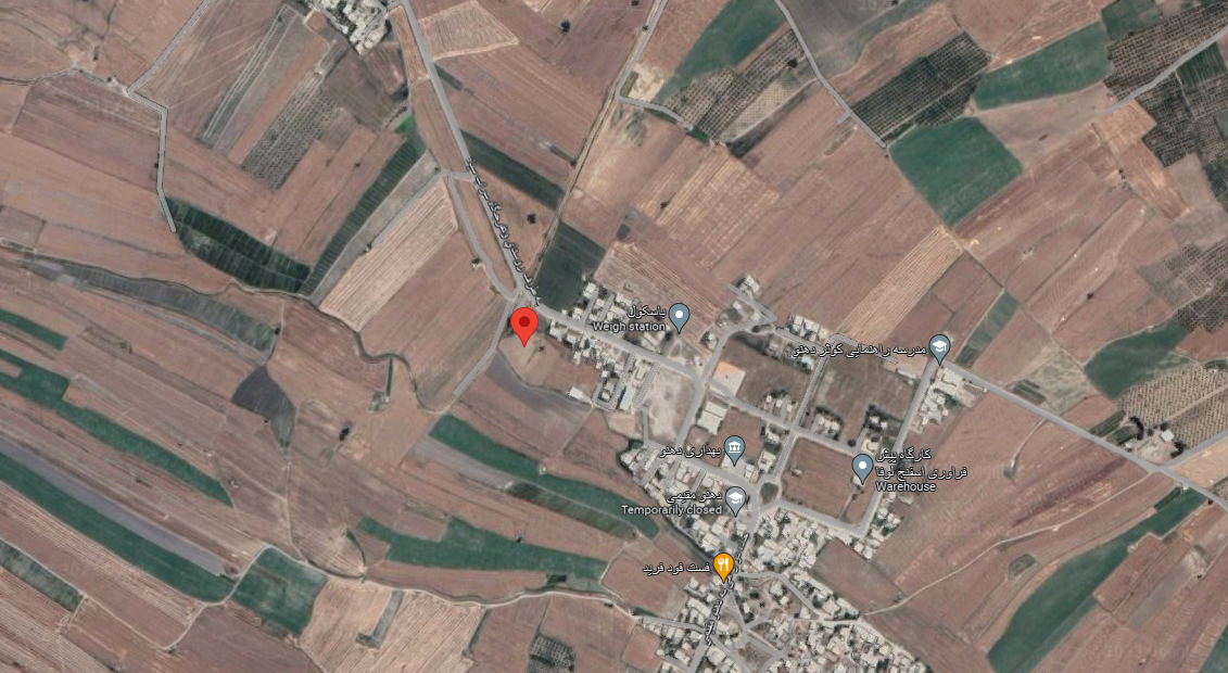
Map
Historical Period
Neolithic, Bronze Age, Iron Age, Sasanian, Islamic
History and description
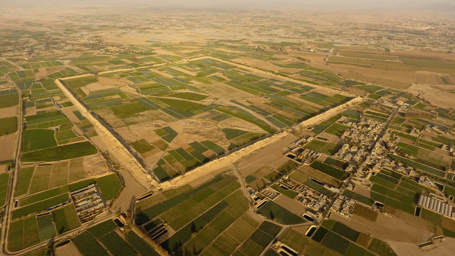
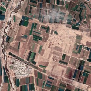
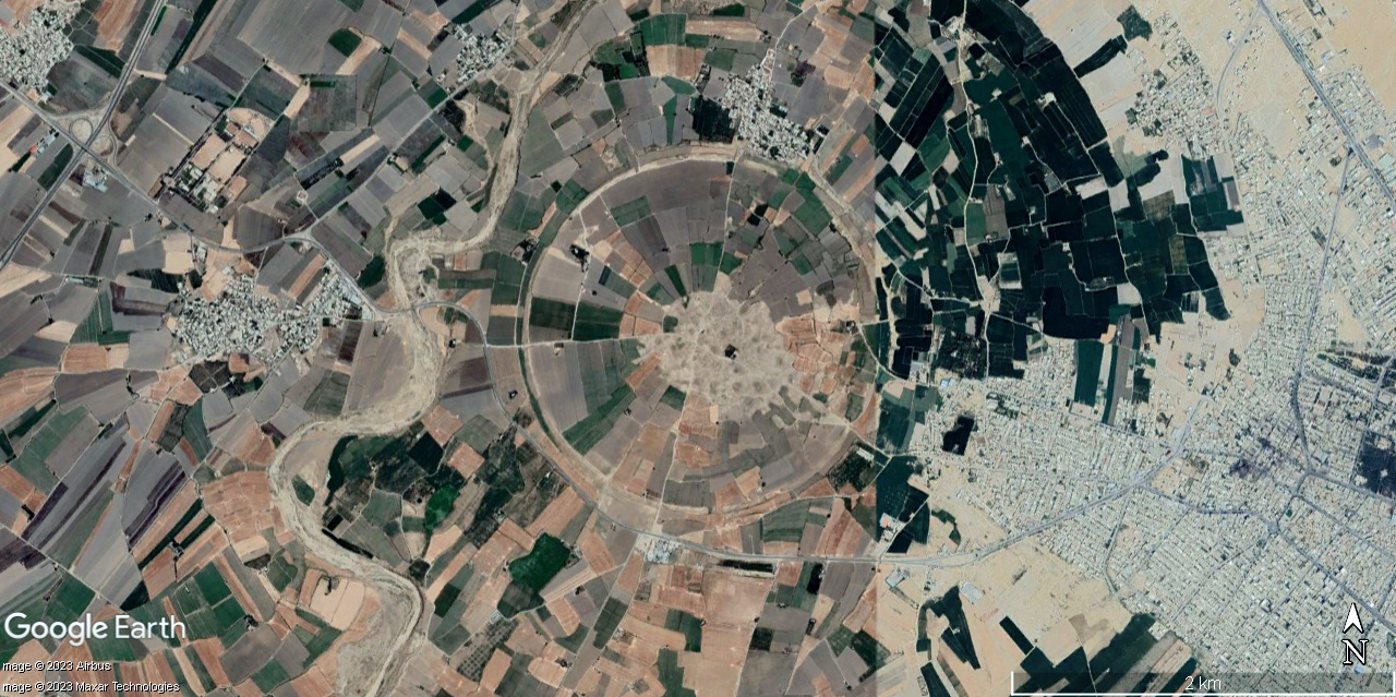
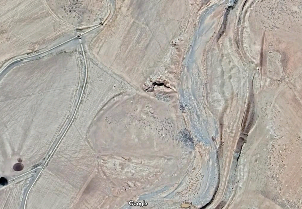
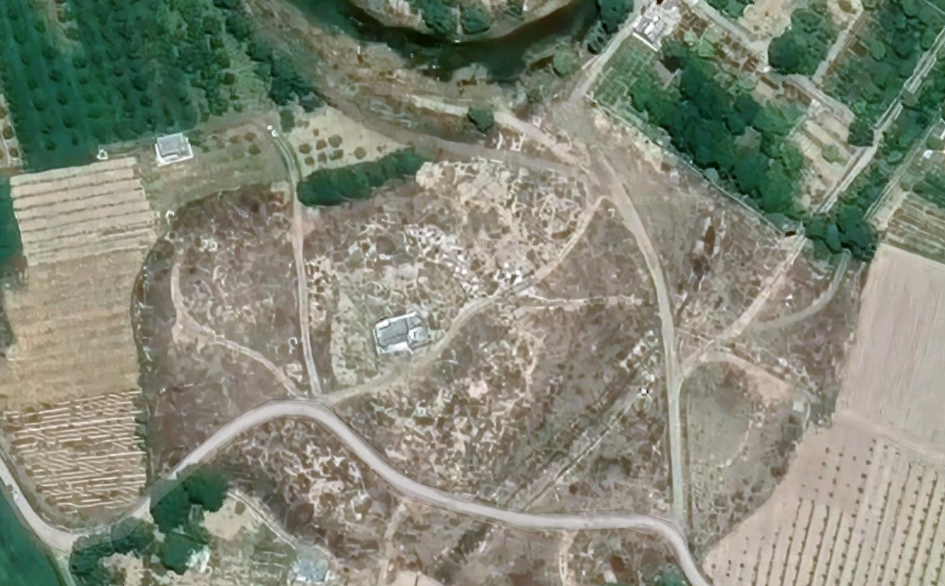
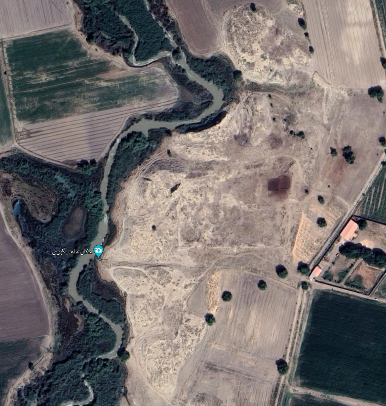
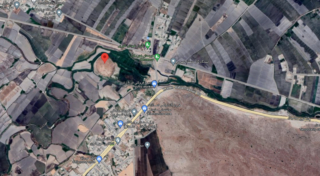
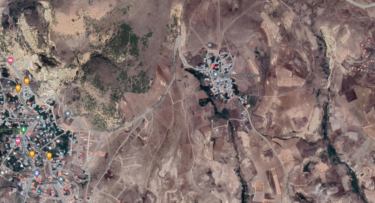
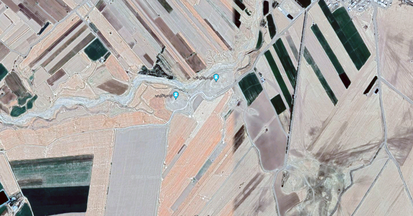
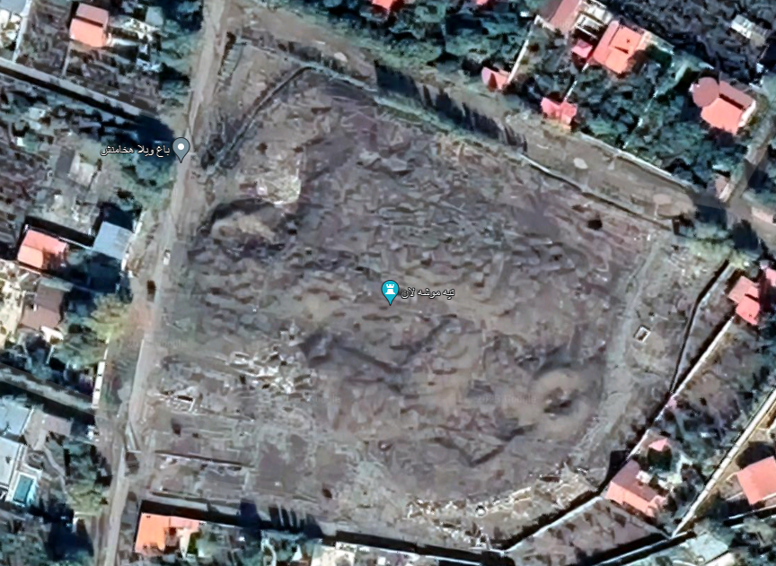
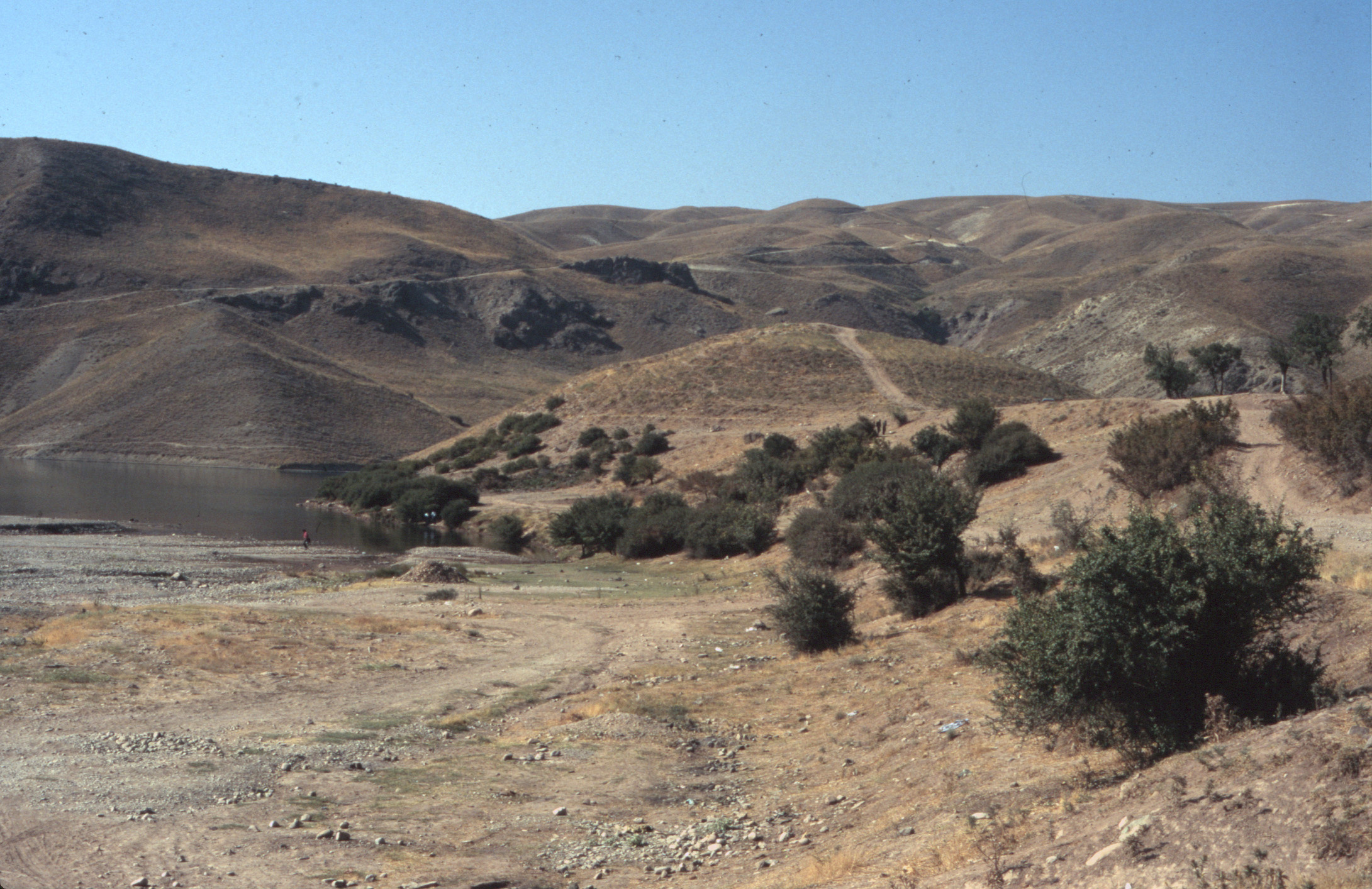
The archaeological site of Ozbaki is located in the plain of Savajbūlāq in the northern outskirts of the town of Nazarābād, 85 km northwest of Tehran. It is a large site covering approximately 100 hectares. The site includes six mounds:
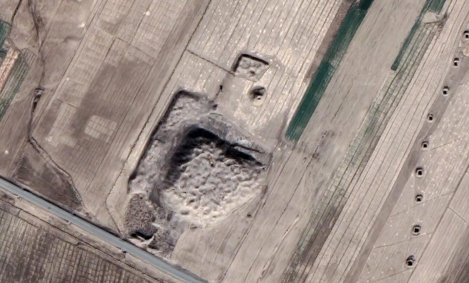
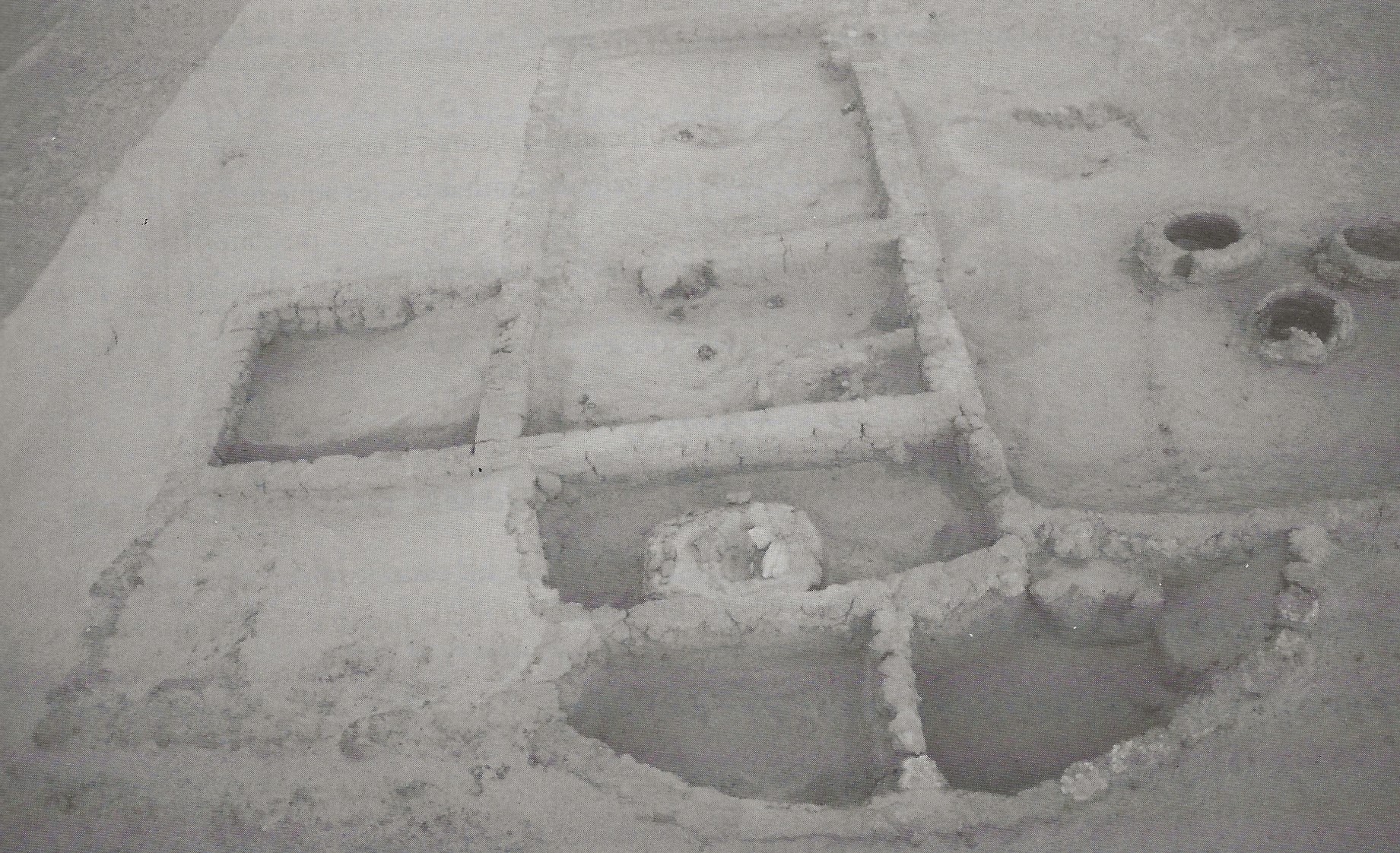
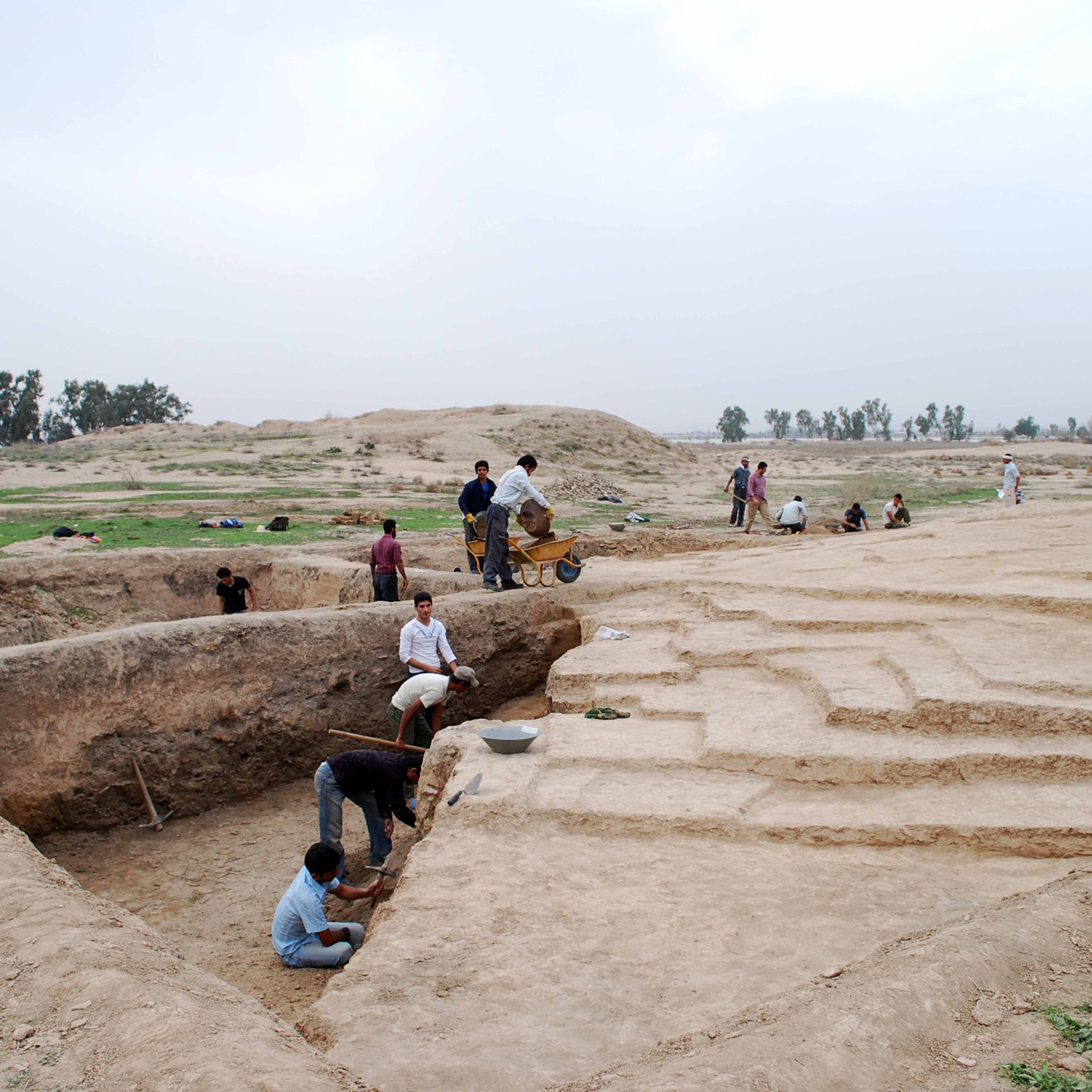
Yān Tepe is a fairly low mound with six millennium B.C. remains that seem to be the oldest human settlement at Ozbaki. One of the most important discoveries at Yān Tepe is part of a prominent architectural unit, the walls of which have been preserved to the height of 60 cm. The building is accessed by means of two mud-brick stairways in the northeast and northwest. The building’s walls and floors were plastered and covered with a red ocher color. The building may have been a prominent place or a sanctuary similar to that found at Tepe Zagheh in the plain of Qazvin.
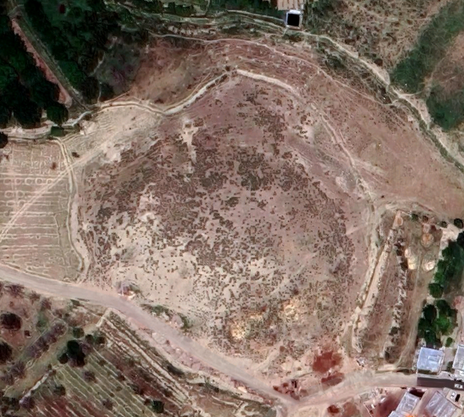
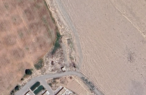
Jeyrān Tepe: It is a low mound 2 mm high situated 250 m to the southwest of the High Mound. Archaeological exploration of the mound revealed a long archaeological sequence from the sixth millennium B.C. to the 12th century A.D.
Dūshān Tepe: Located 250 m to the west of the High Mound, the excavation of this mound yielded three architectural phases in the Iron Age with typical Gray Ware of the Early Iron Age period. The latest phase was possibly built in the Median period.
Gūmūsh Tepe: Situated to the west of the High Mound, modern constructions have largely destroyed the mound. The scattered potsherds on the surface Gūmūsh Tepe are similar to those of Tepe Sialk I and II, Cheshmeh-Ali in Reyy, and Kara Tepe in the plain of Shahryār.
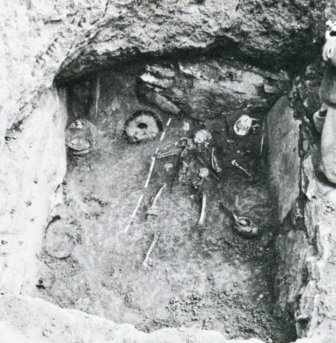
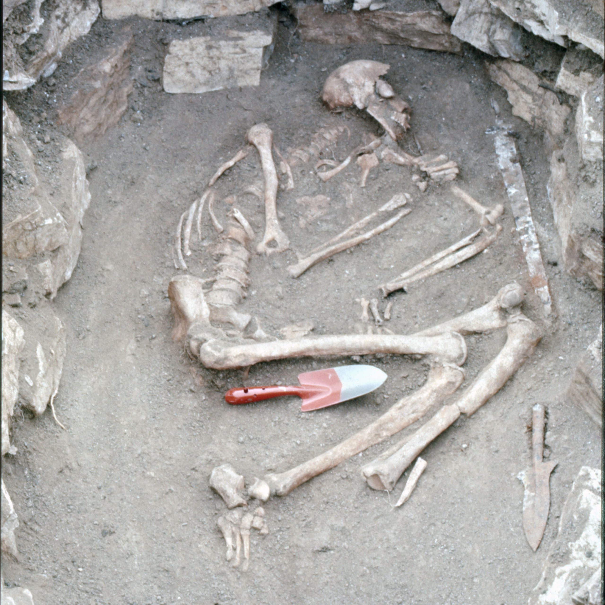
Mārāl Tepe: This mound lies 50 m to the west of Dūshān Tepe. The excavations revealed fragments of the first millennium B.C. pithos burials and parts of a mud-brick platform dated to the mid-fourth millennium B.C.
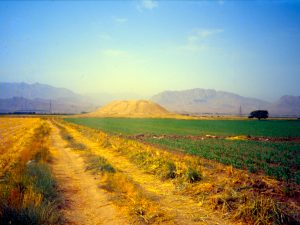
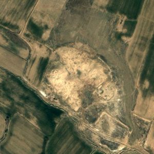
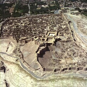
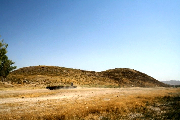
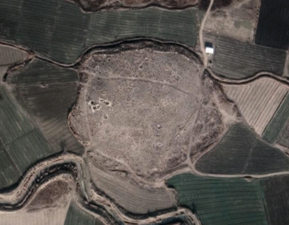
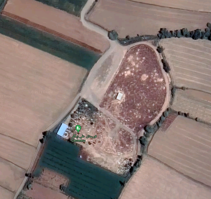
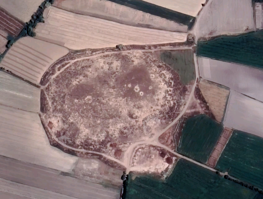
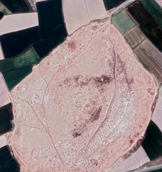
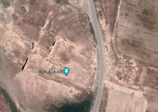
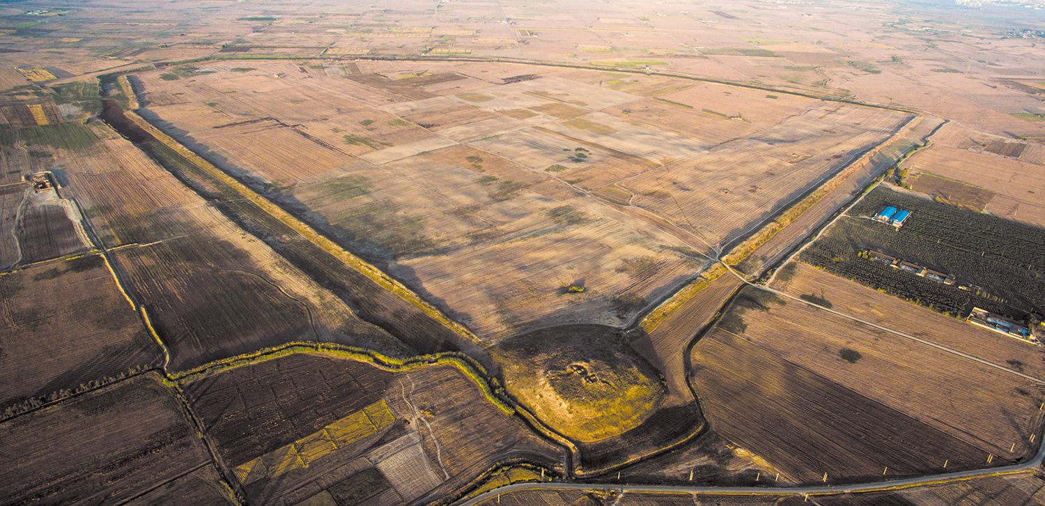
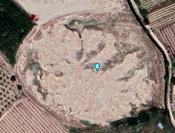
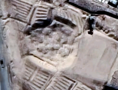
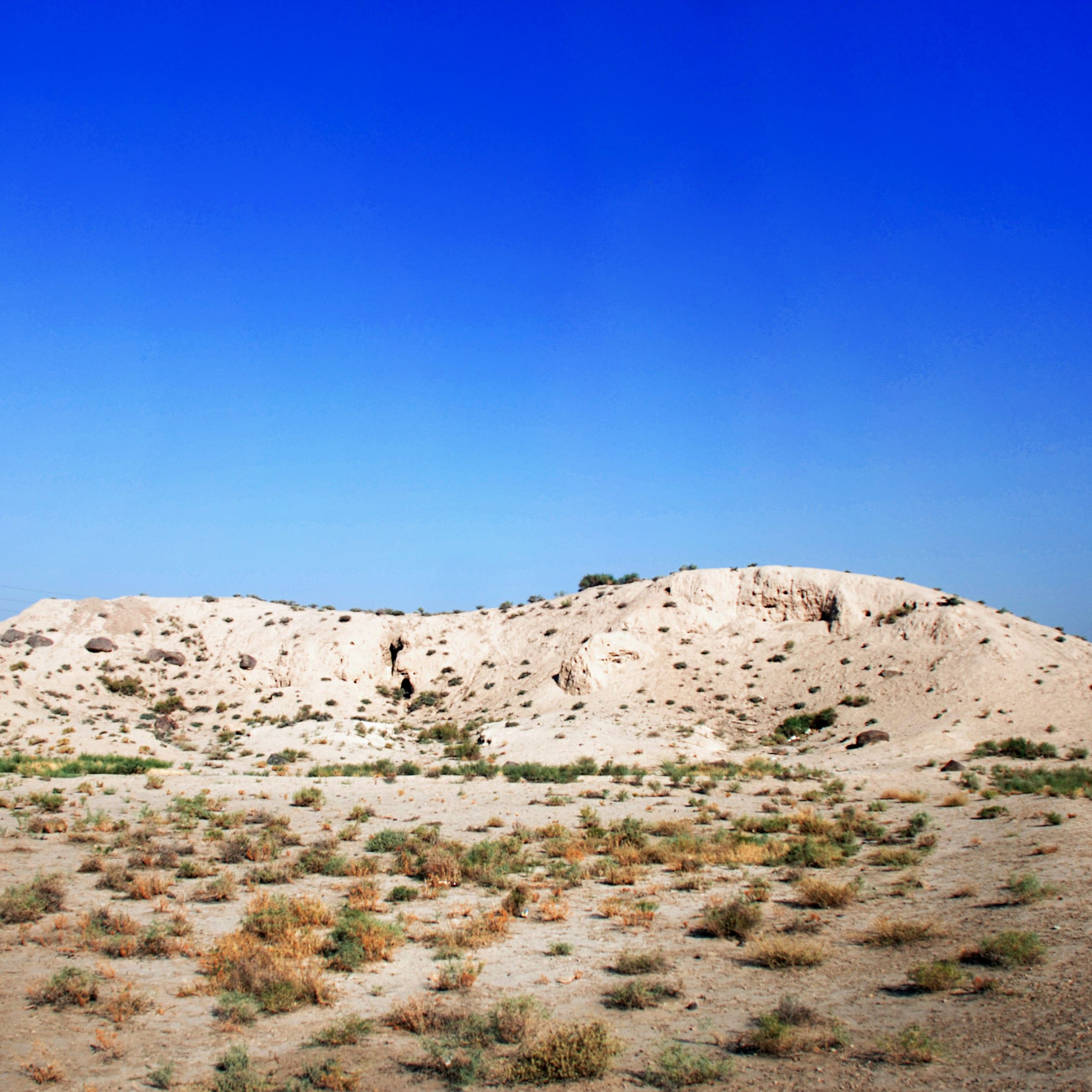
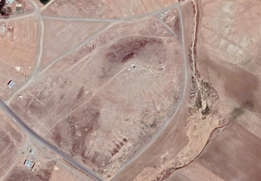
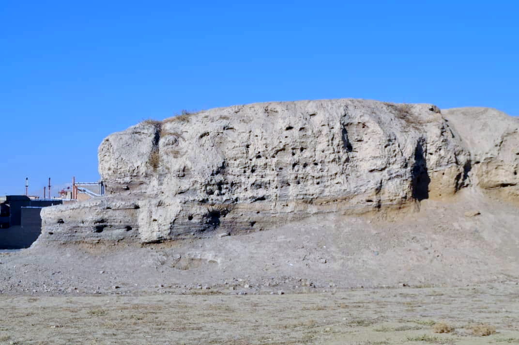
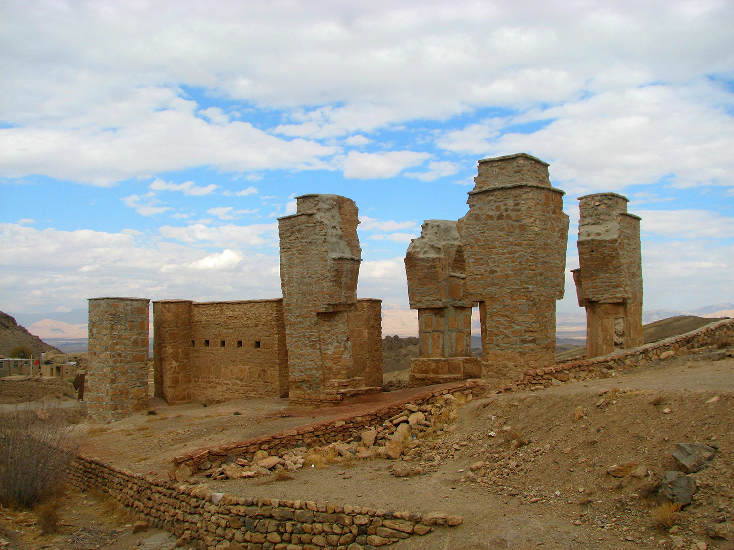
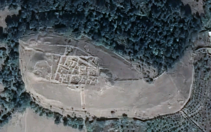
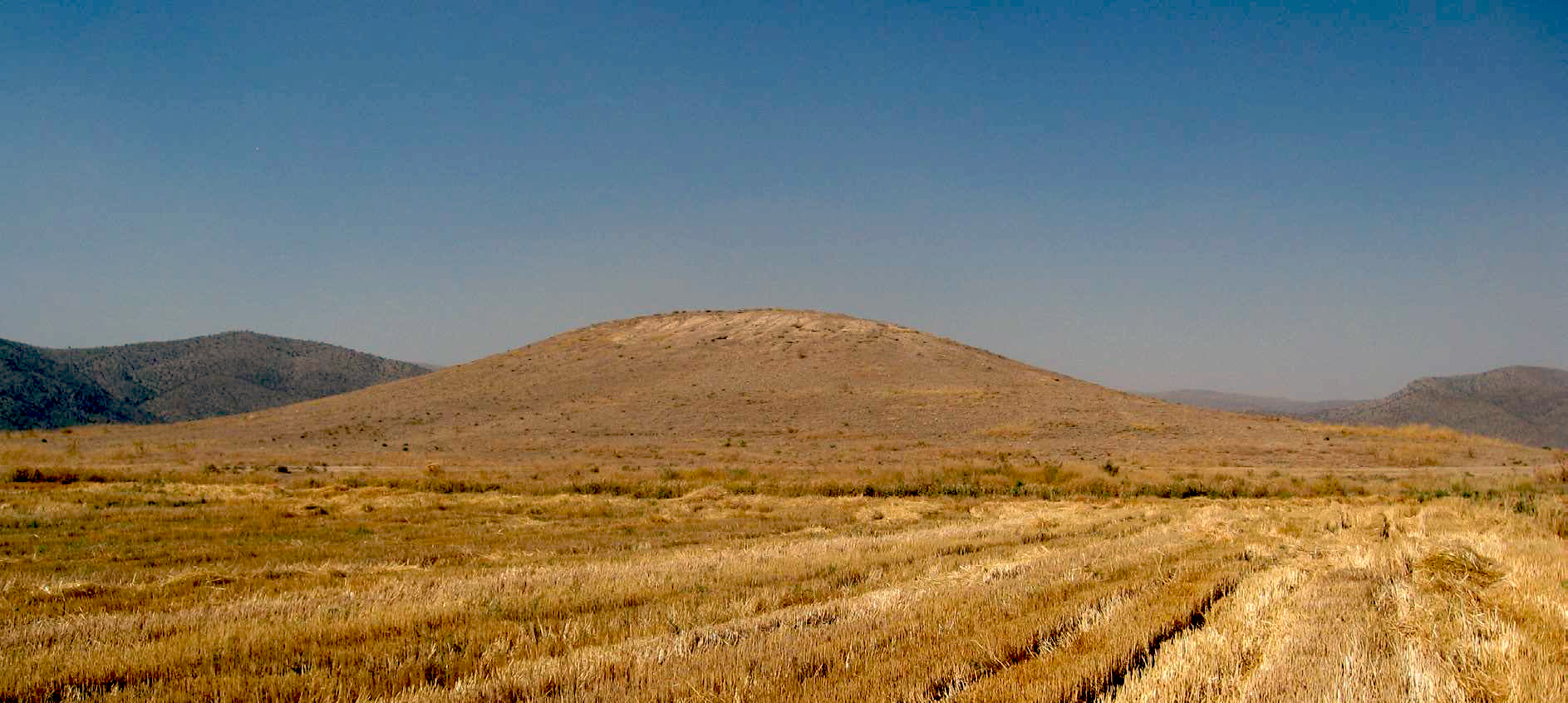
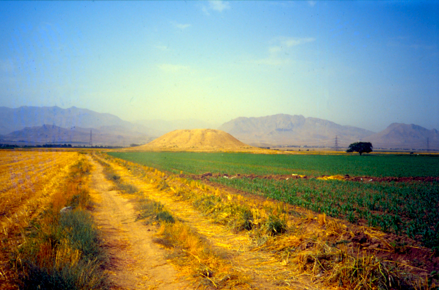
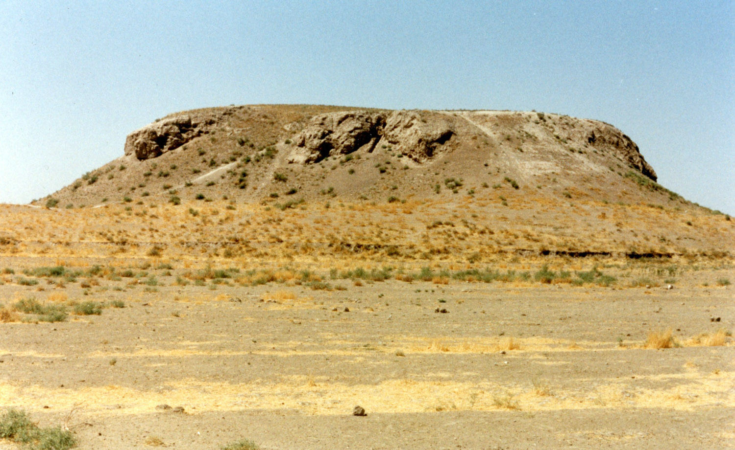
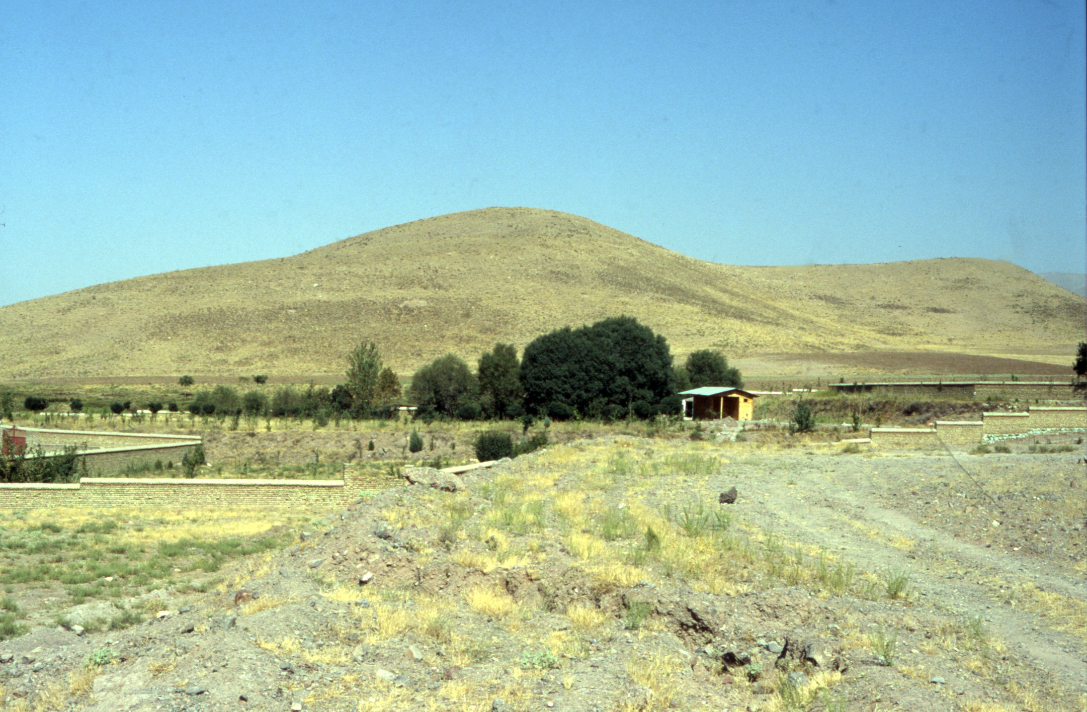
High Mound: This is the largest mound at the site and one of the highest in the plain of Svajbūlāq (fig. 1). The mound is 25 m high and its excavations yielded a 900-m² fort with a mud-brick wall 7 m wide. The remains of the fort show a plan similar to those found at the Median sites of Nush-i-Jān and Godin Tepe. The High Mound at Ozbaki is one of the easternmost Median forts of the Iron Age III period. A pile of terracotta slingshots was found in one of the fort's rooms.
Archaeological Exploration
The site of Ozbaki had been known to Iranian archaeologists as early as 1969. In the 1990s, Azarmidokht Esfandiari carried out a survey of the site on behalf of the Iranian Center for Archaeological Research. In 1998, Yusef Majidzadeh began a long-term archaeological project at Ozbaki on behalf of the Iranian Center for Archaeological Research. Six seasons of excavations were carried out at the site between 1998 and 2005.
Finds
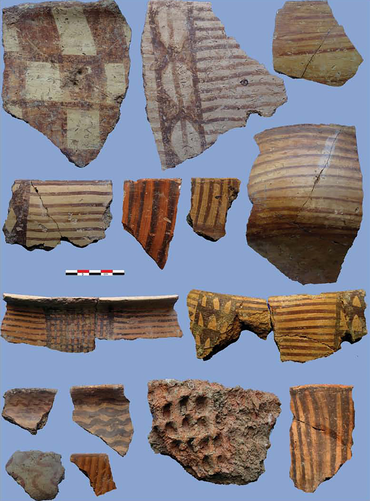
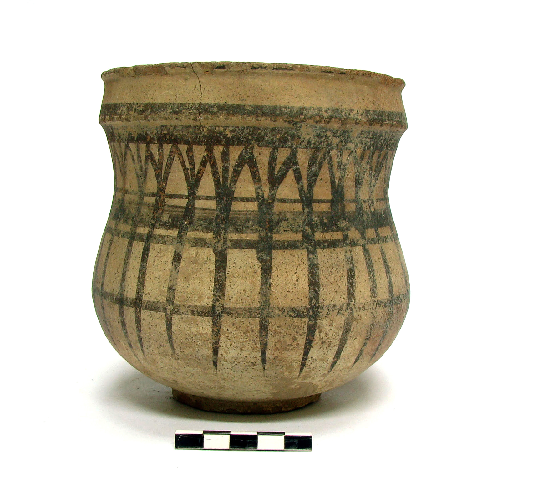
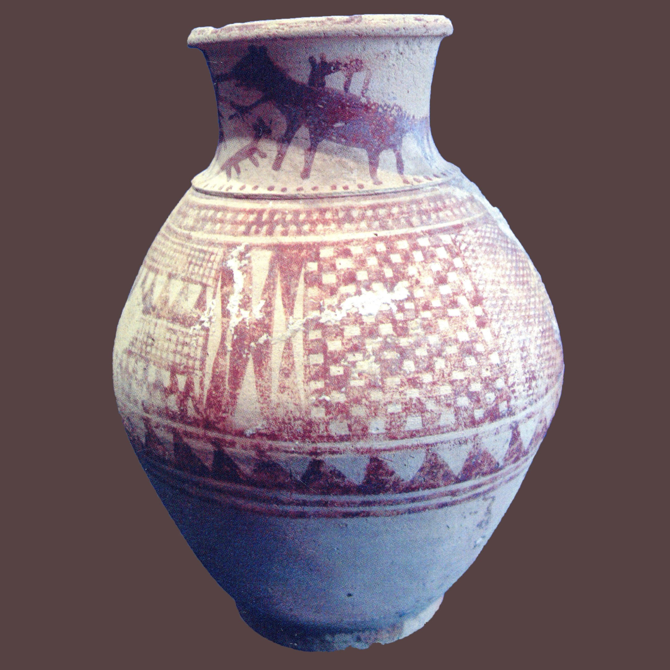
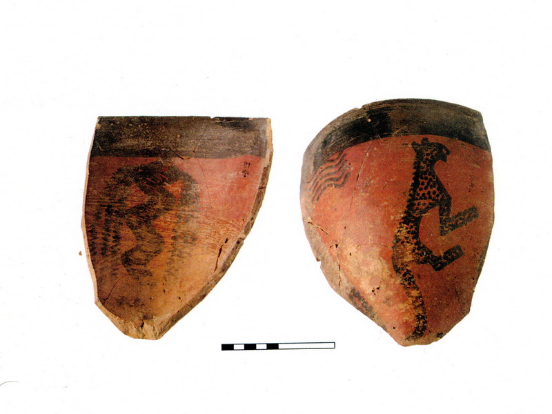
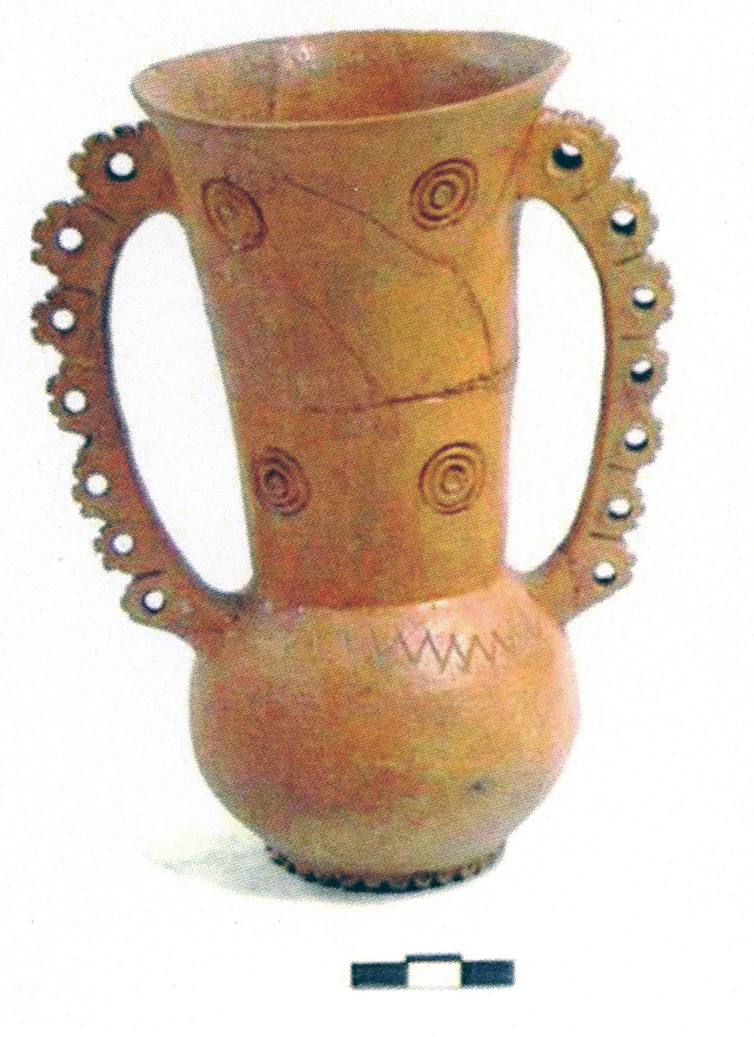
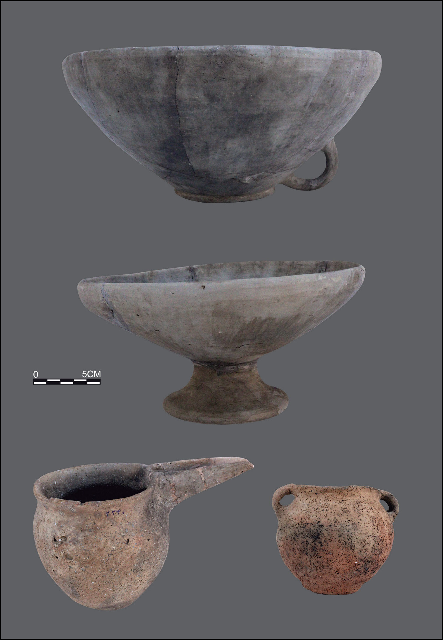
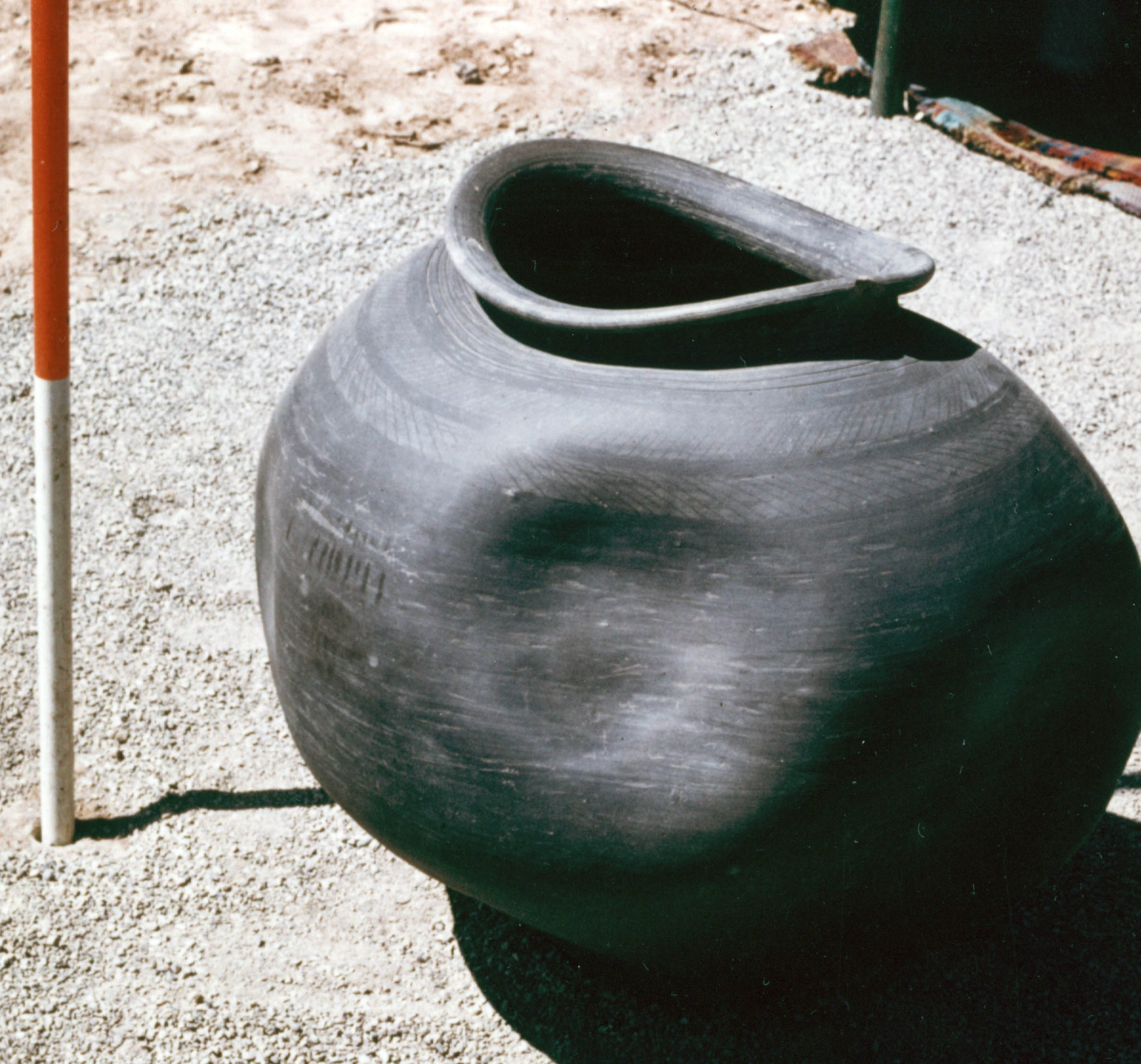
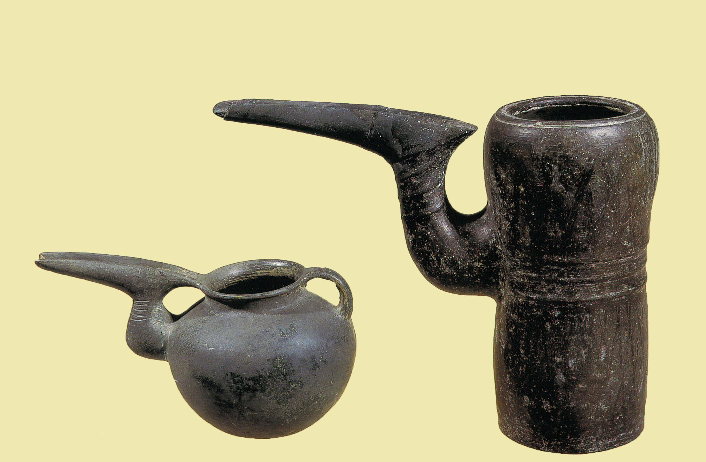
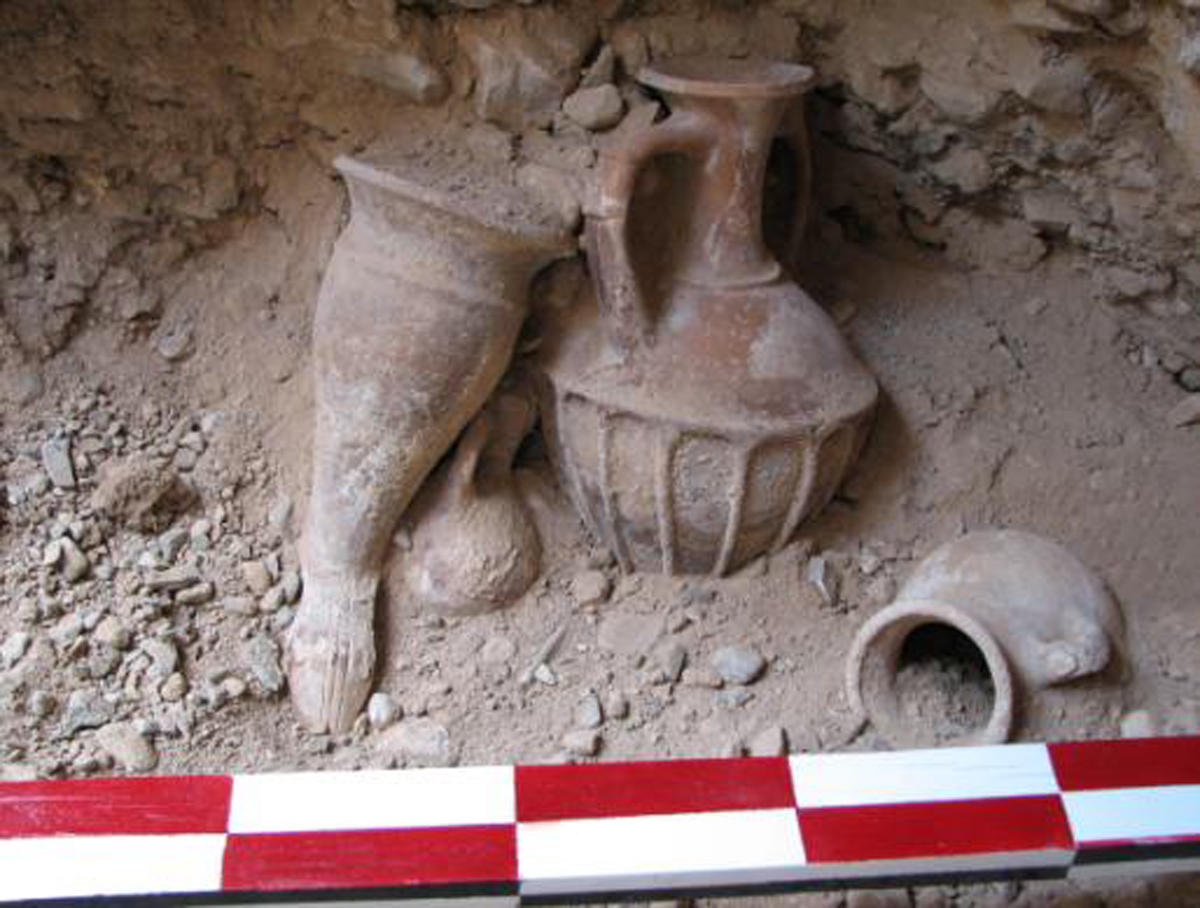
Pottery: Black on red painted pottery of Cheshmeh-Ali; painted buff ware of Sialk I and II as well as Sialk III; typical Gray Ware of the Iron Age; Median buff ware of the Iron Age III period; ceramics of the Parthian period.
Bibliography
Majidzadeh, Y., “Excavations at Ozbaki: First Preliminary Report 1998,” Iranian Journal of Archaeology and History, No. 25, 2000, pp. 57-81. In Persian with a summary in English
Majidzadeh, Y., Report on the Third Season of Excavations at the Site of Ozbaki, Tehran, 1382/2003.
Author: Ali Mousavi
Originally published: March 4, 2022
Last updated: January 13, 2025

