Mashhad-e Zolfābādمشهد ذلف آباد
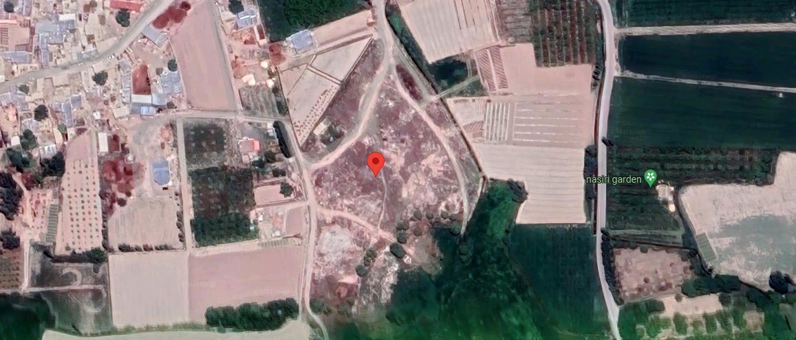
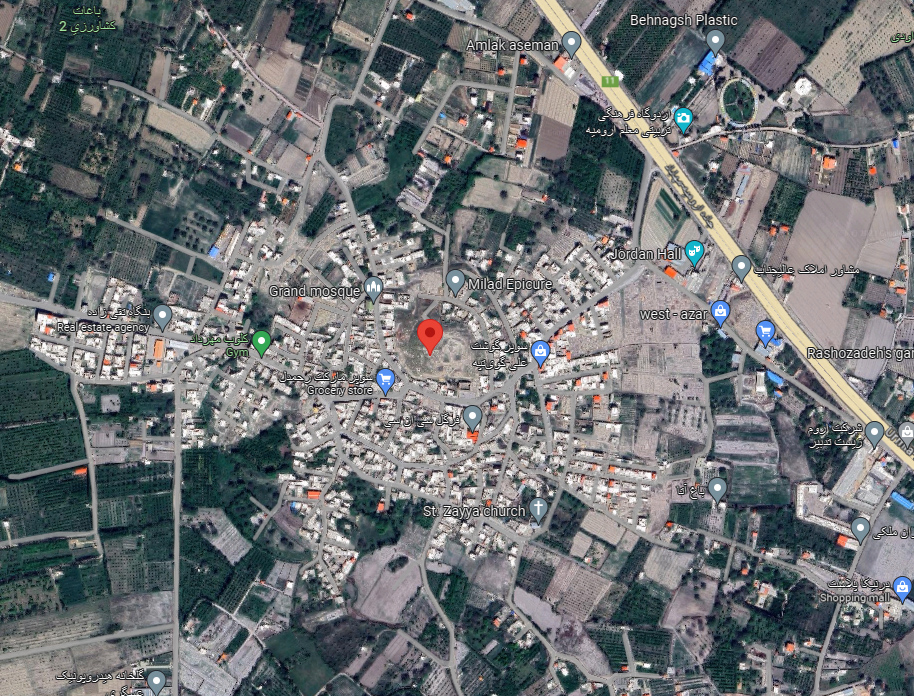
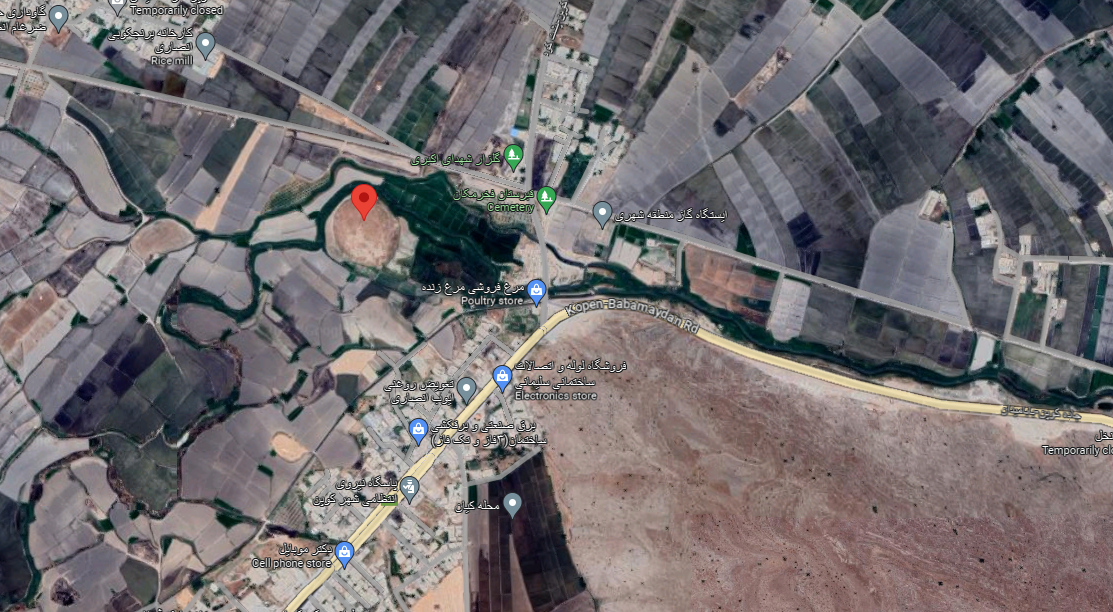
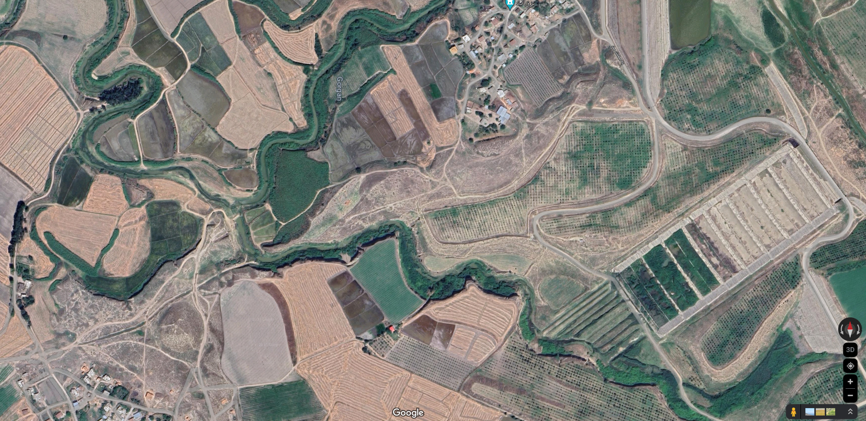
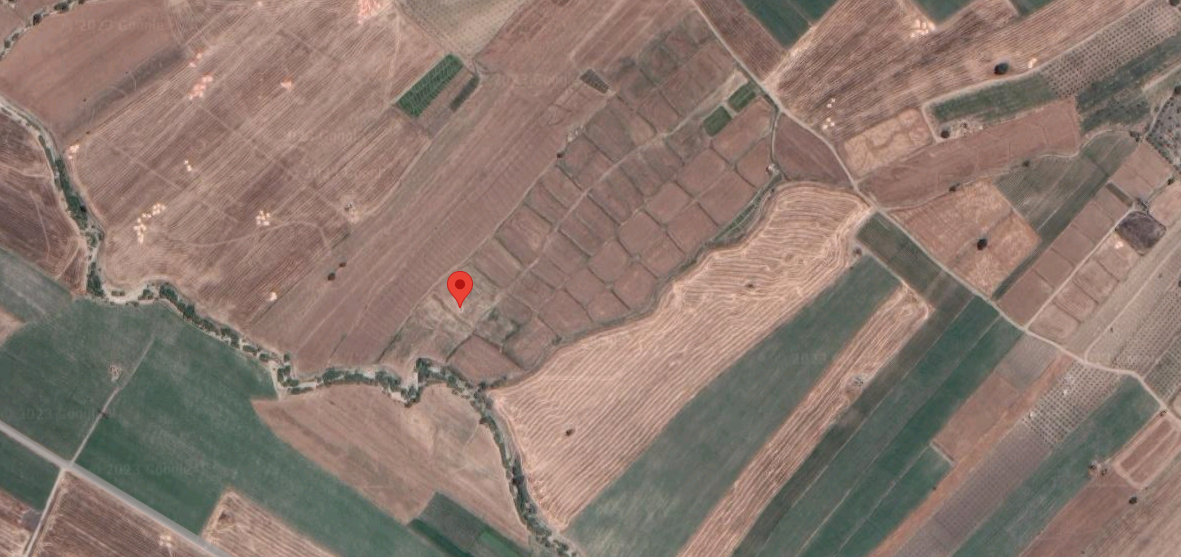
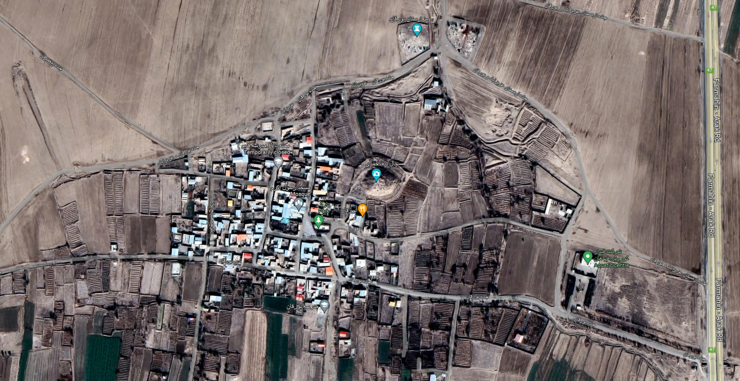
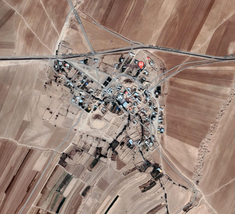
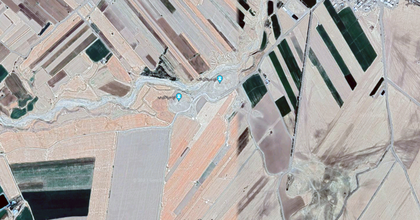
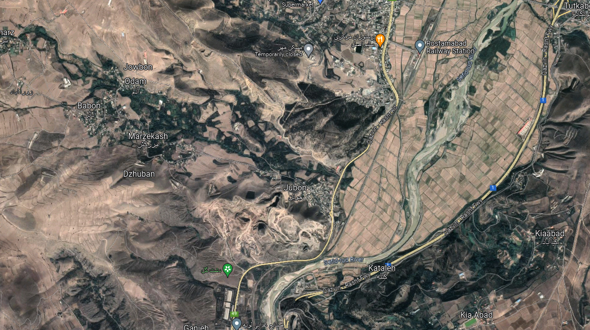
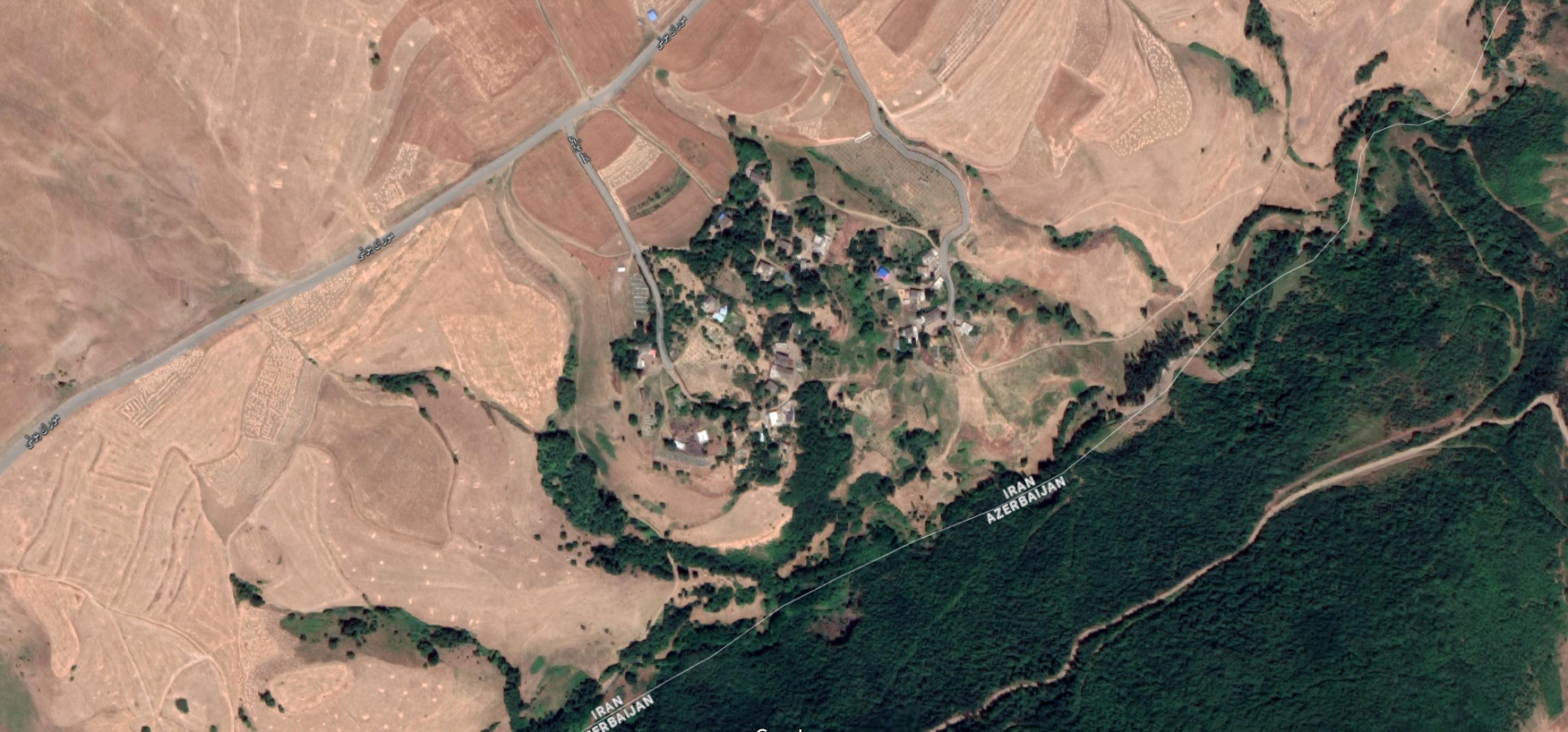
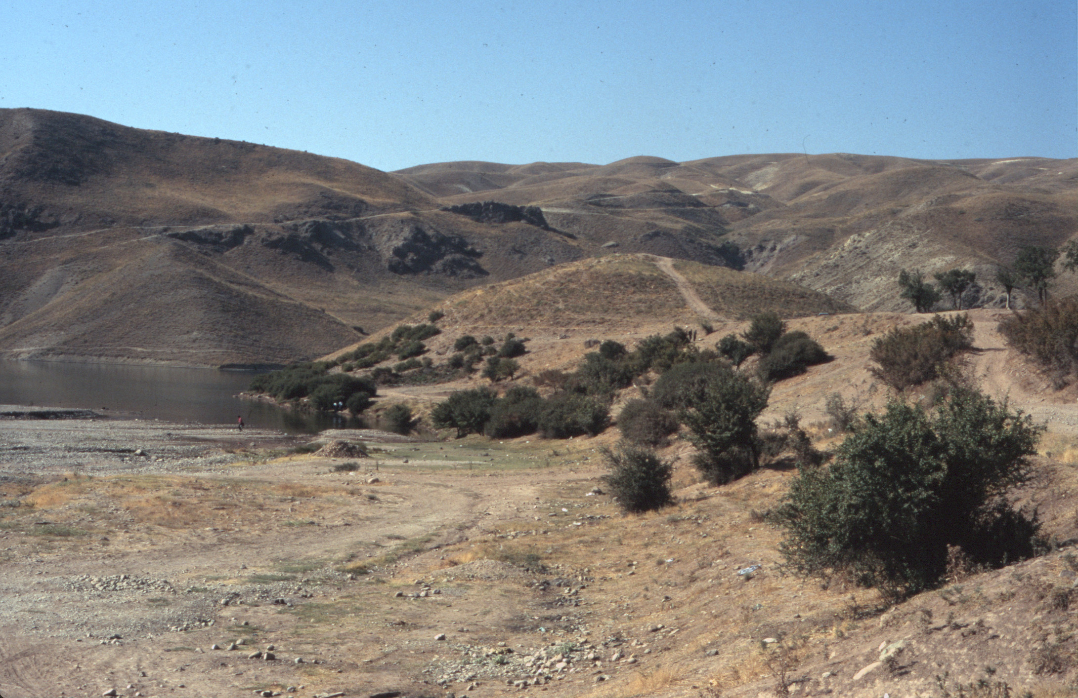
Location: Mashhad-e Zolfābād lies 5 km north of Farmahin, in central western Iran, Markazi Province.
34°30’43.9″N 49°38’29.9″E
Map
Historical Period
Iron Age, Achaemenid, Parthian, Islamic
History and description
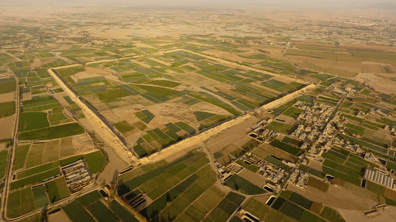
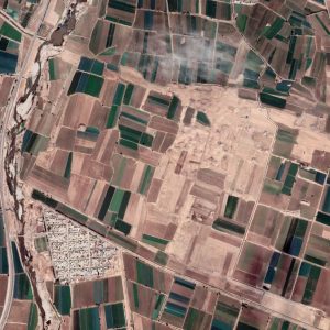
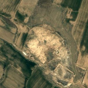
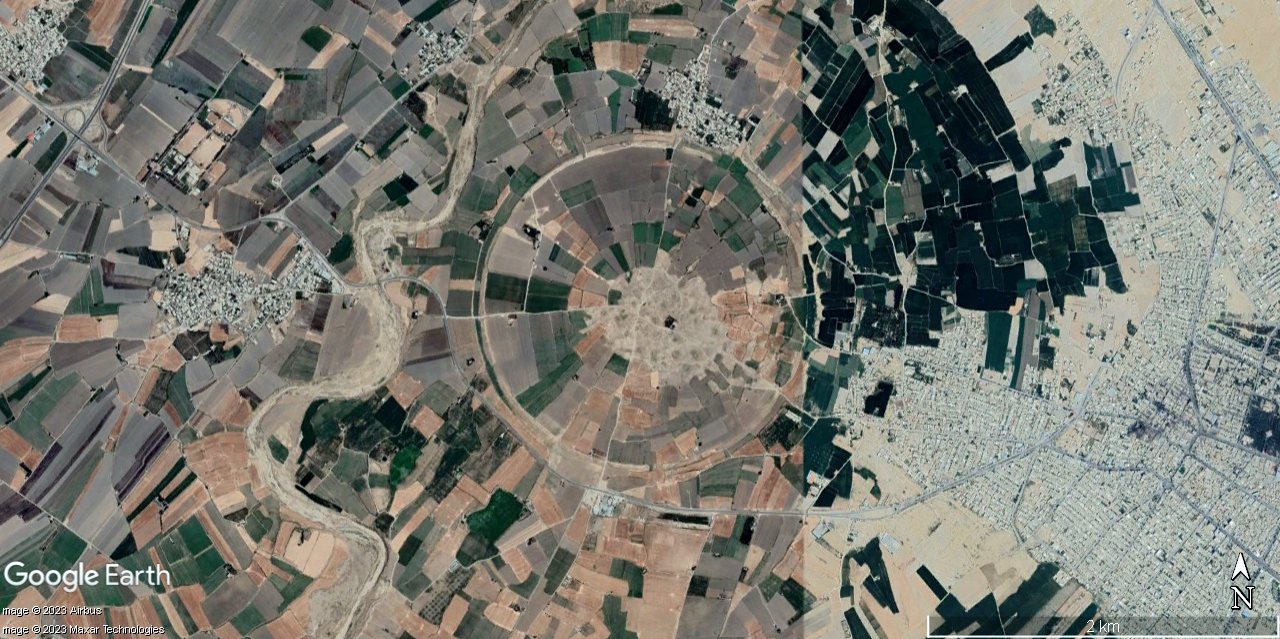
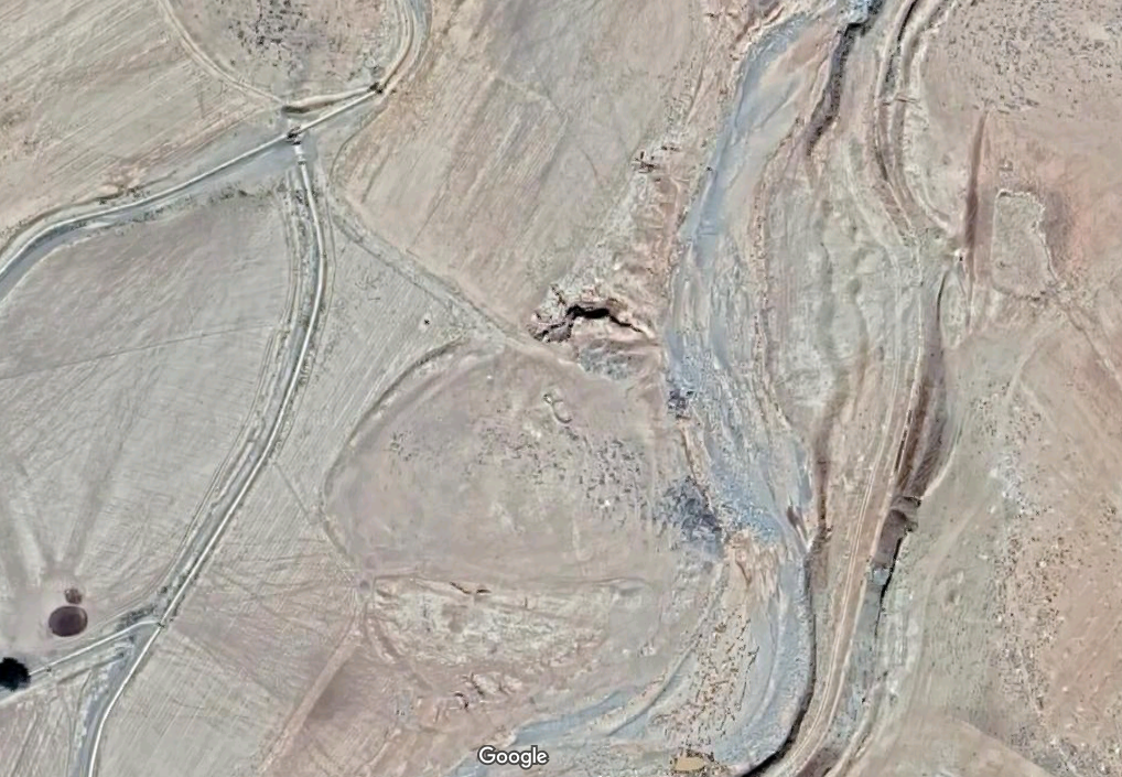
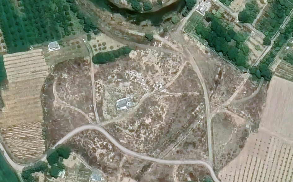
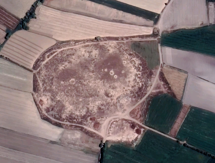
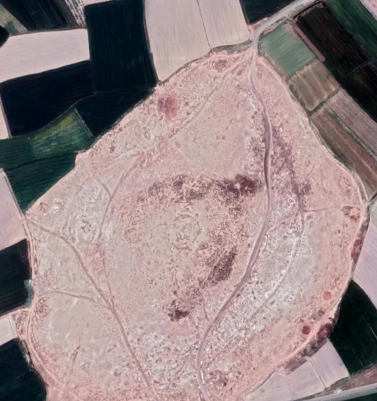
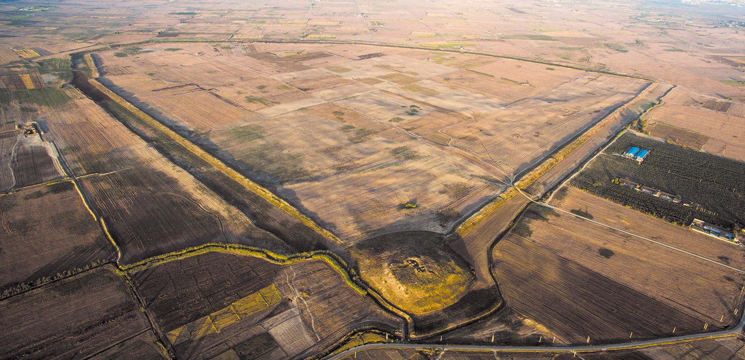
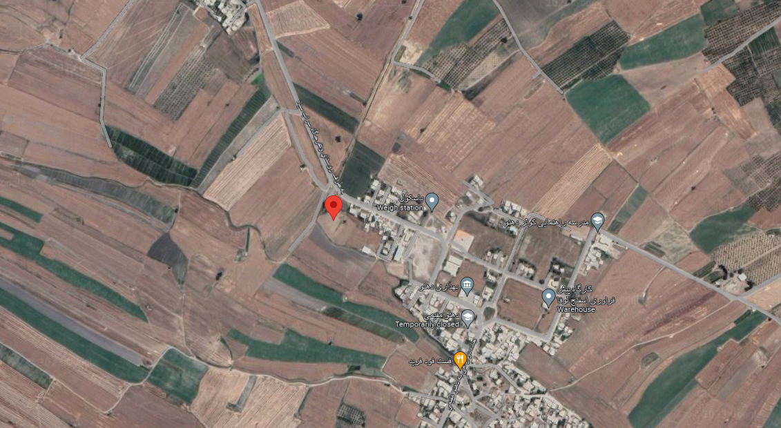
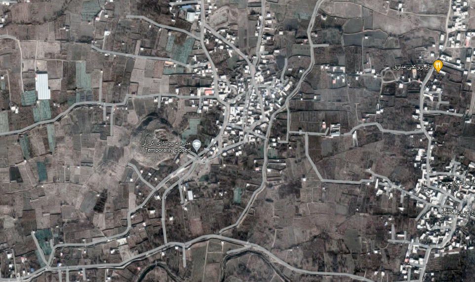
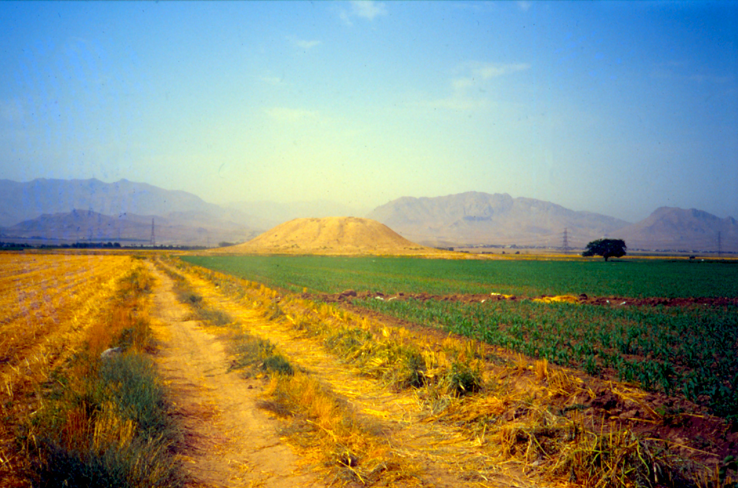
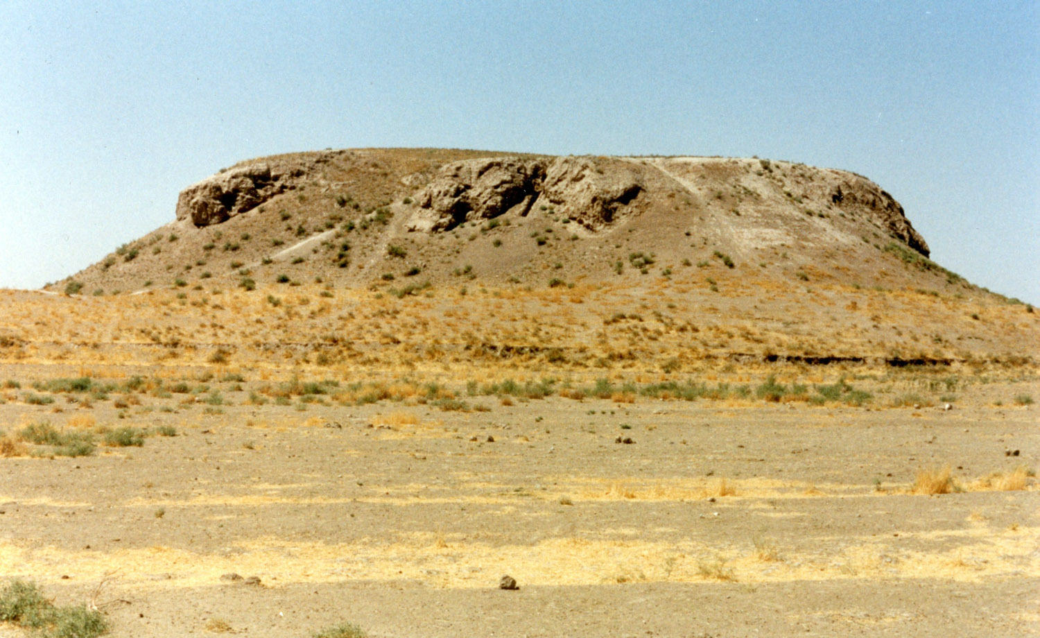
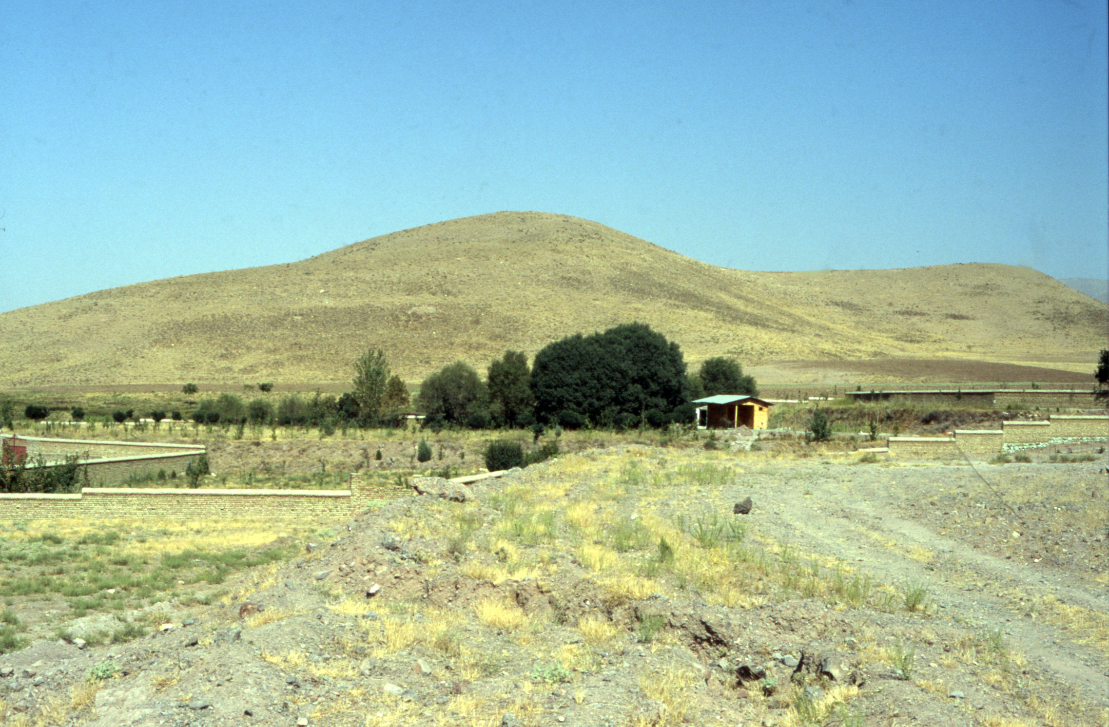
The twin mounds of Mashhad-e Zolfābād are in a village of the same name 5 km north of Farmahin. As for the name Zolfābād, it seems that the origin has to do with Abūdōlaf Al-Ejlī (better known as Abūdōlaf Al-Qasim ibn Isā), an Arab military commander under the Abbasid caliph, Ma’mun. Abūdōlaf built a city in the area of Farāhān, which included two stories, one at the ground level, the other below. On the ground were edifices, mosques, manor houses, and shops; underground has the same city buildings so that in the case of a siege, the inhabitants could take refuge underground. That city was called Dōlafābād, then it became known as Zōlfābād (M. H. E’temad al-Saltaneh, Mer’āt al-Bōldān, vol. 1, p. 867). The name is mentioned in the tenth-century Tarikh-e Qōm as Al-Dōlafiya (Hasan Qomi, Tarikh-e Qōm, p. 141). Hamdōllah Mostwofi, writing in the early fourteenth century, refers to Zolfābād as one of the largest villages in the whereabouts of Farāhān (The Geographical Part of the Nuzhat-al-Qolūb, p. 73). It seems that the region of Farāhān was an important hunting place for Mongol Ilkhāns of Persia such as Abāqā (Fasīh Khāfi, Mōjmal-e Fasīhiī, p. 341). Jean Otter, a Swede traveling in the service of the Kingdom of France visited the village of Mashhad-e Zōlfābad in 1738. His description rightly places the old town between the archaeological mounds (Otter, Voyage en Turquie et en Perse, vol. 2, Paris, 1748, pp. 7-8):
Le lendemain, après avoir passé Chehri-Guiert [Chehrgird], je me reposai au bout de sept heures de marche à Mechehed-Ferahan. Ce font deux bourgs peu éloignés l’un de l’autre. Le Géographe Turc qui appelle le dernier Amplement Ferahan, dit qu’il était autrefois une ville de moyenne grandeur, bâtie par Tahmouris. Vingt villages en dépendent, et il y a un lac autour duquel on trouve beaucoup de gibier. Le premier de ces bourgs, que le même Géographe nomme Guerdge [Gird], n’était d’abord qu’un village. Èbou-Delf l’ayant choisi pour sa demeure, y bâtit un château, et l’agrandit considérablement, ce qui lui a fait donner le nom de Guerdge-Ebi-Delf [Abu Dōlaf Gird]. Il a environ une lieue de long. Son territoire abonde en bled & en bestiaux; mais les fruits y sont rares, meurissent difficilement à cause du froid.
Hasan Fasa’i, the renowned historian of the Qajar period and the author of Fārsnāmeyeh Nāseri recounts that in the reign of Fath-Ali Shah (1797-1834), the people of Zolfābād revolted against Imani Khān, the local governor, and were later suppressed by an army sent from the court. The village of Zolfābād was taken and its buildings were destroyed (Fārsnāmeyeh Nāseri, p. 672; Moradiniā, Tarikh-e Ostān-e Markazi, p. 546).
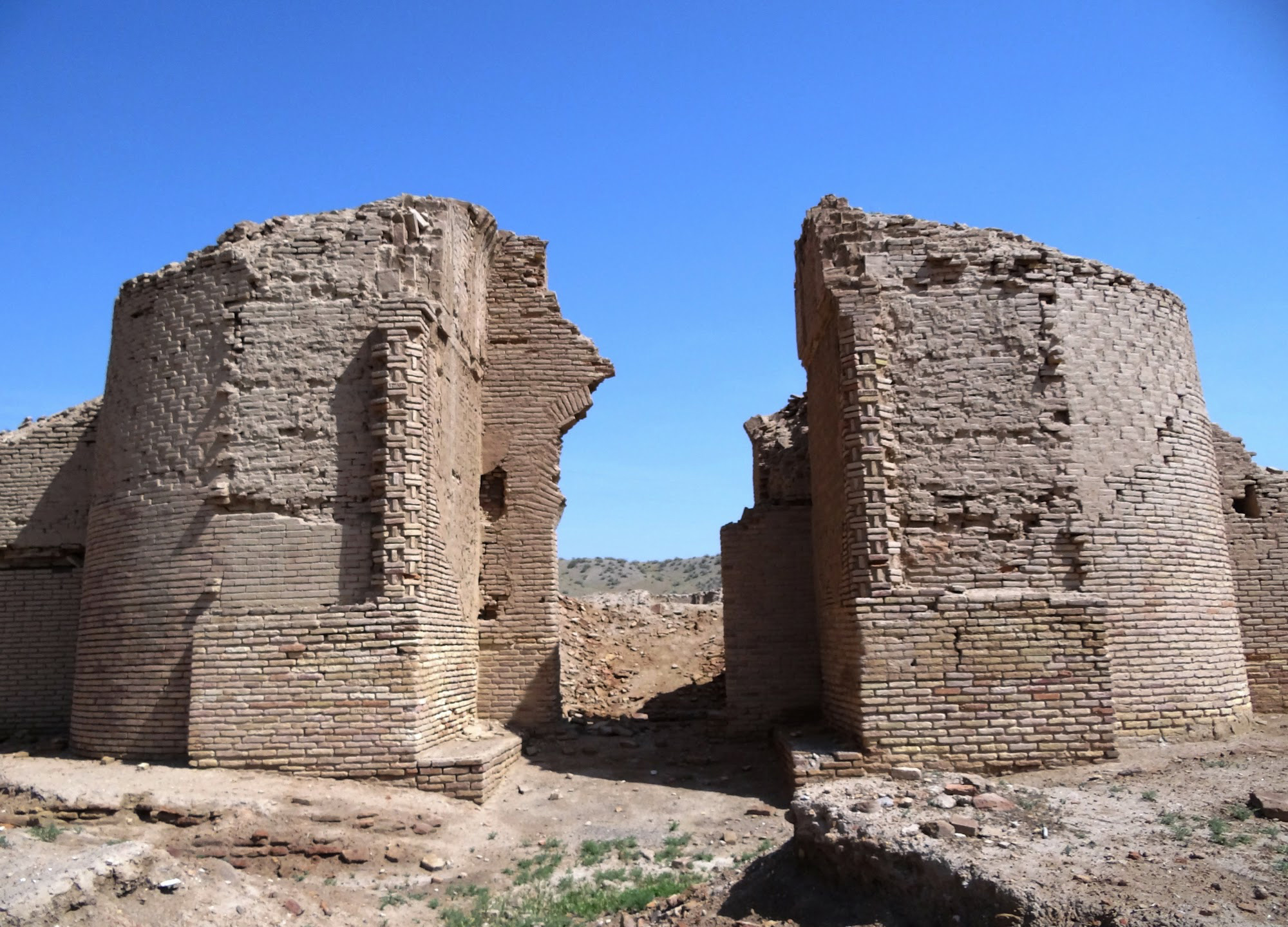
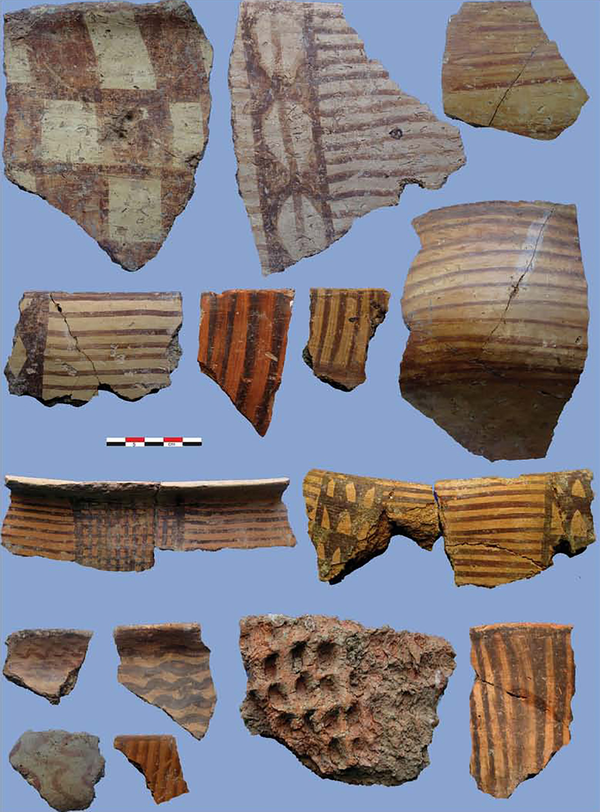
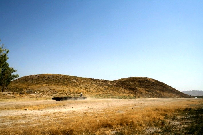
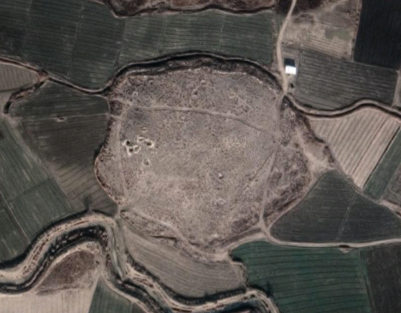
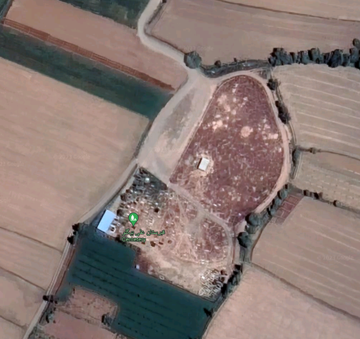
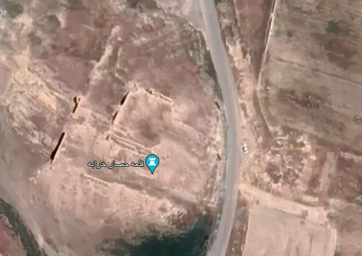
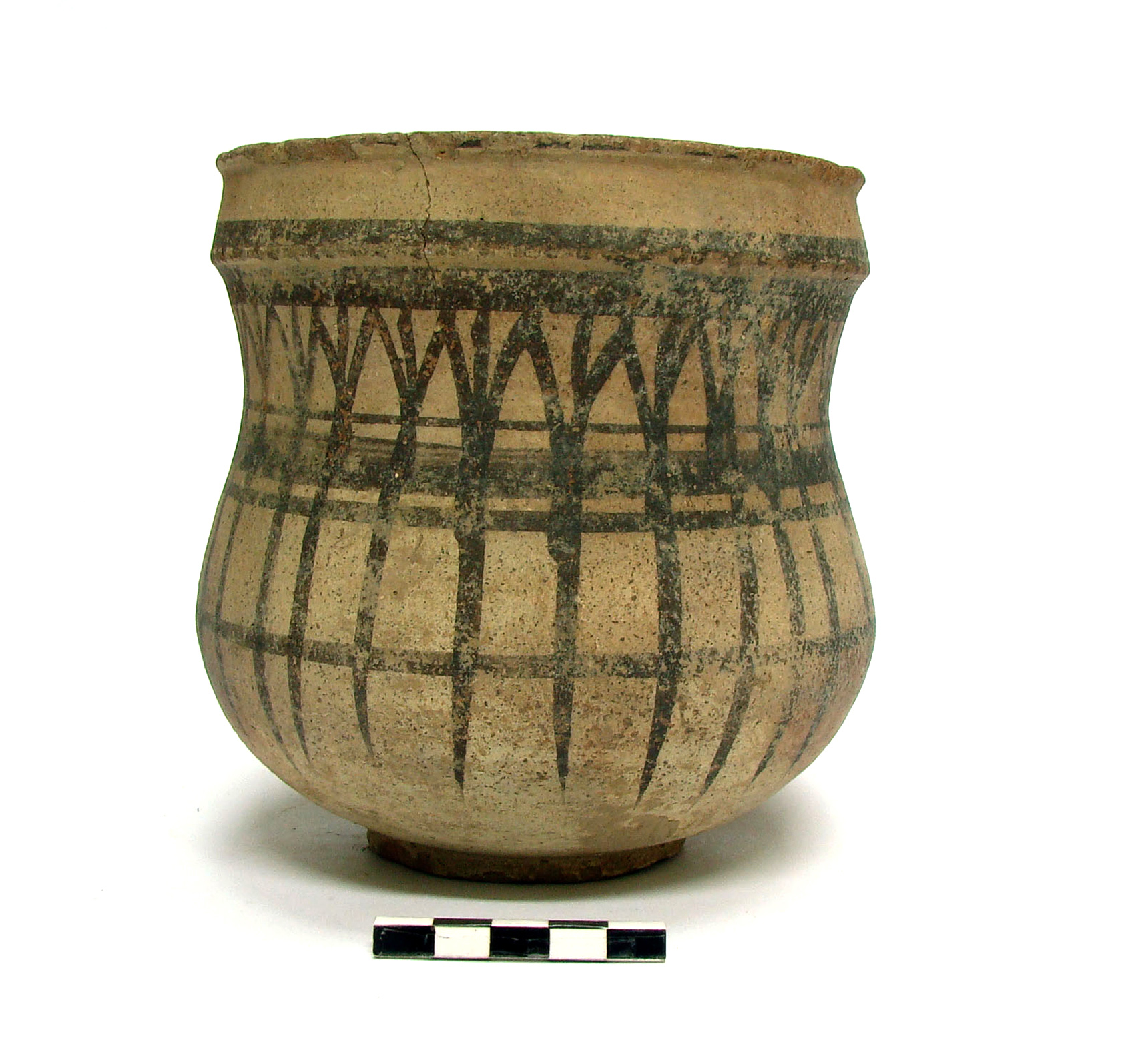
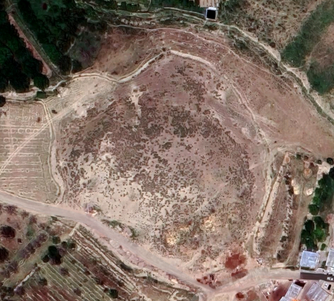
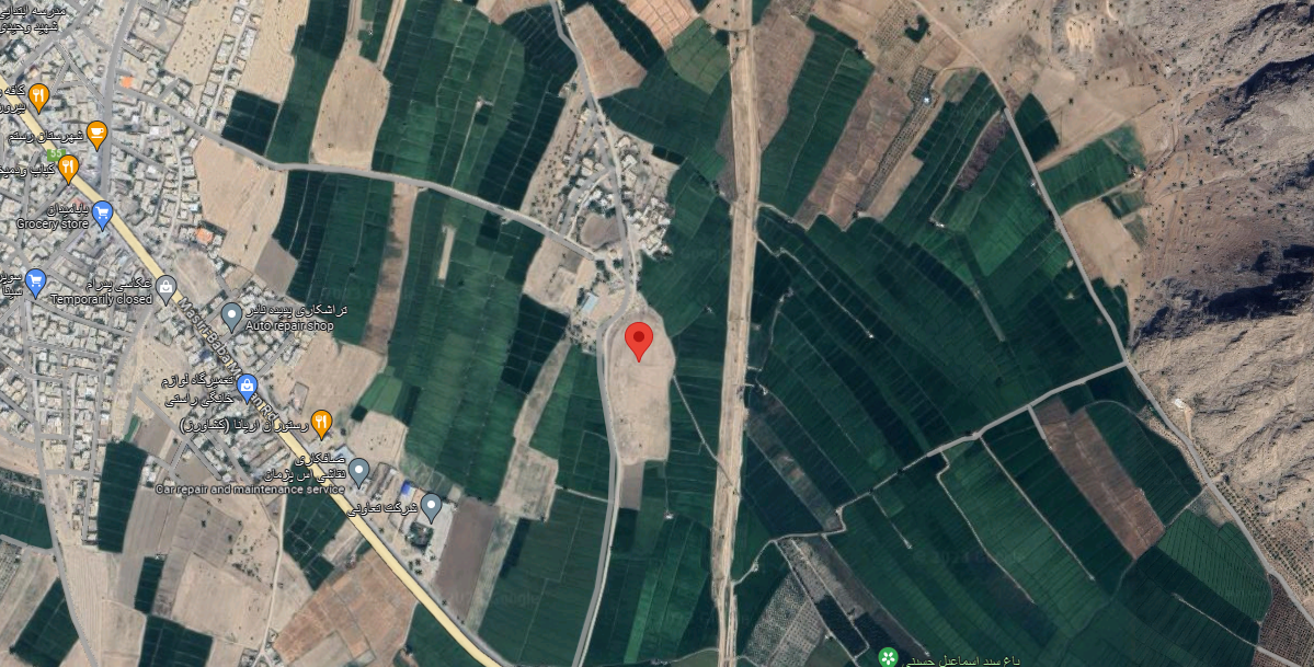
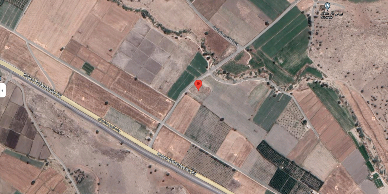
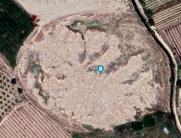
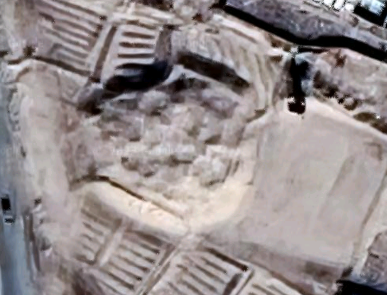
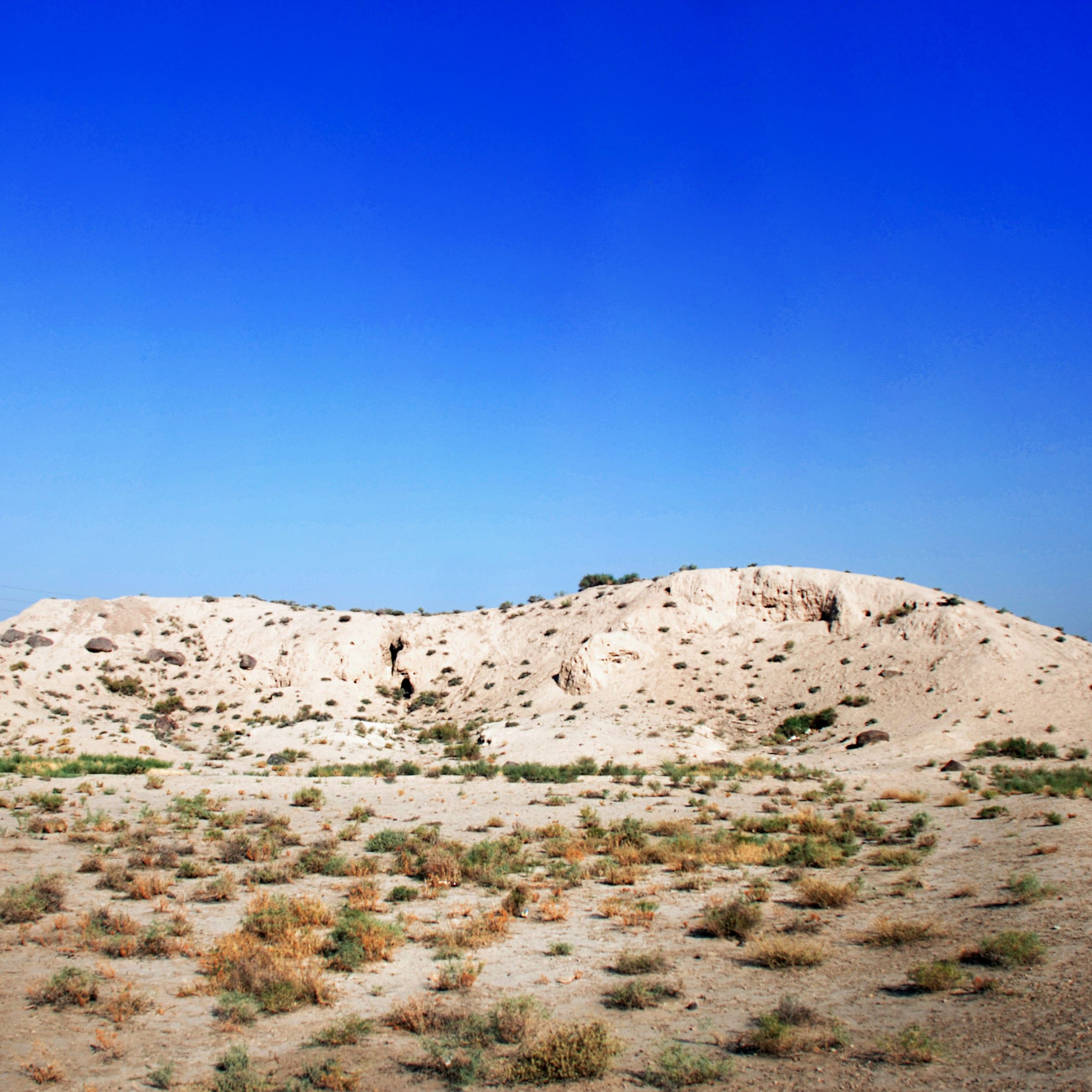
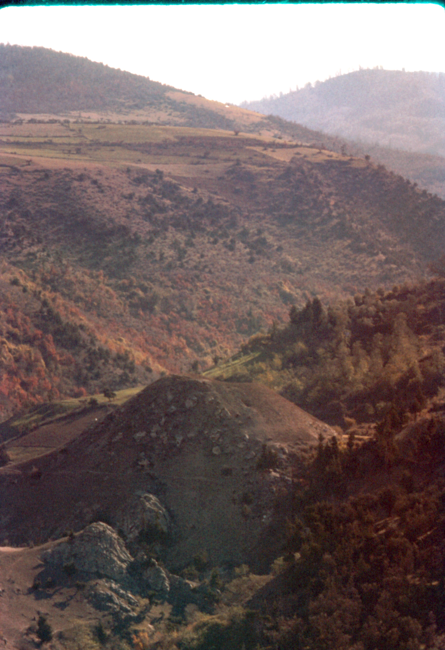
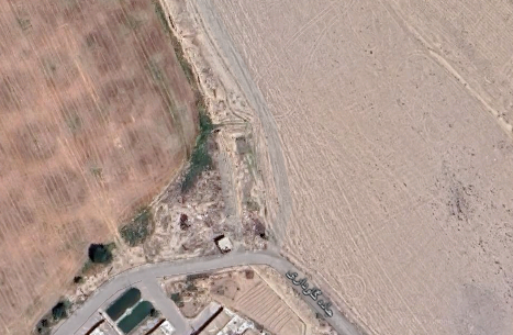
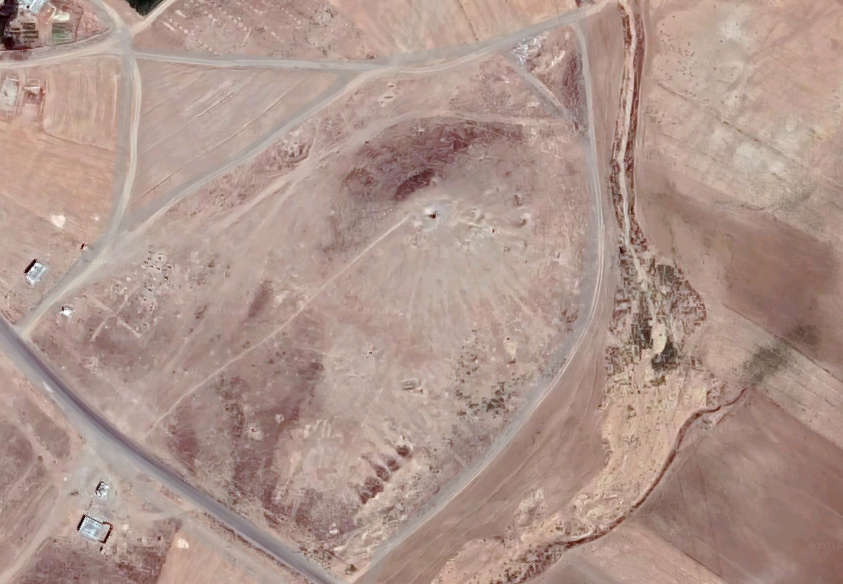
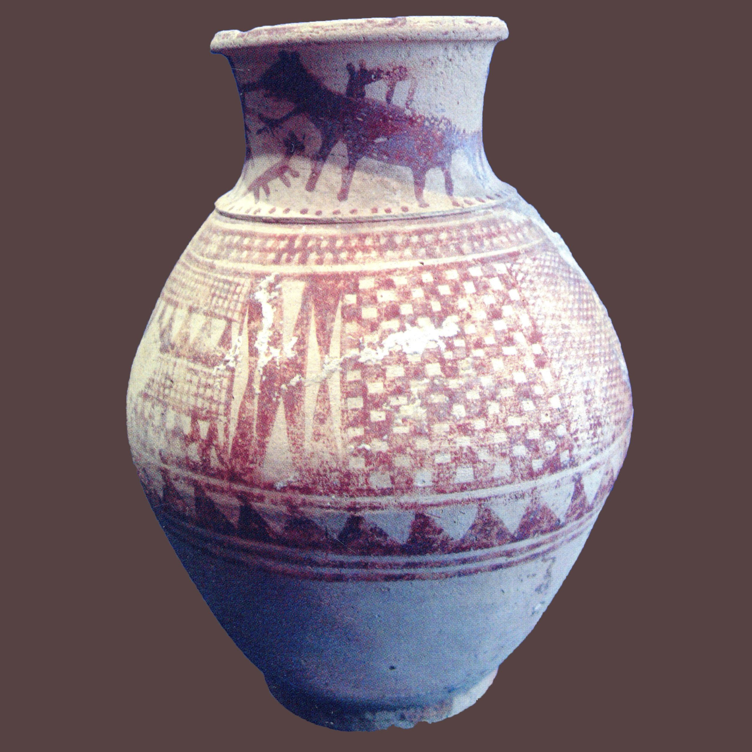
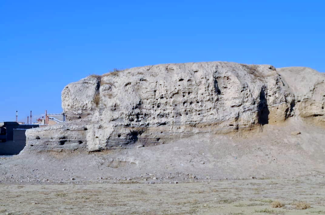
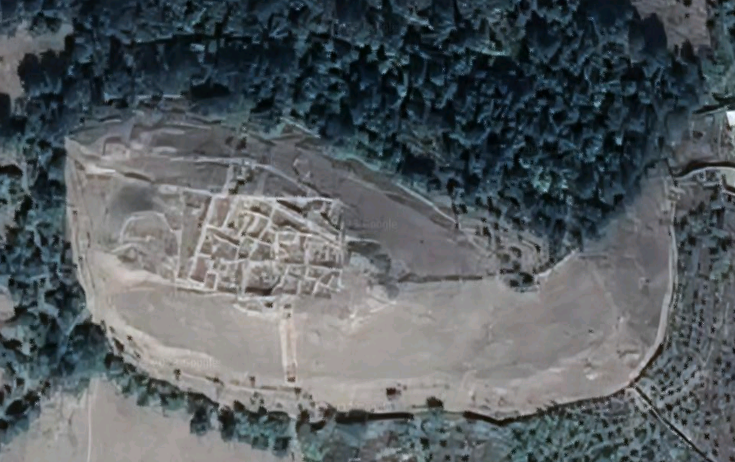
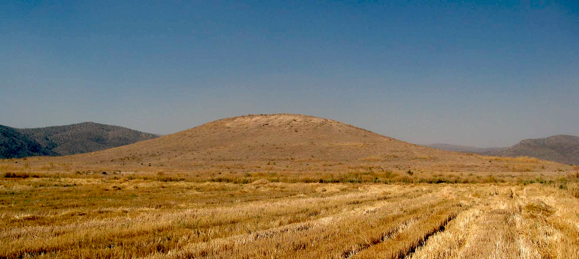
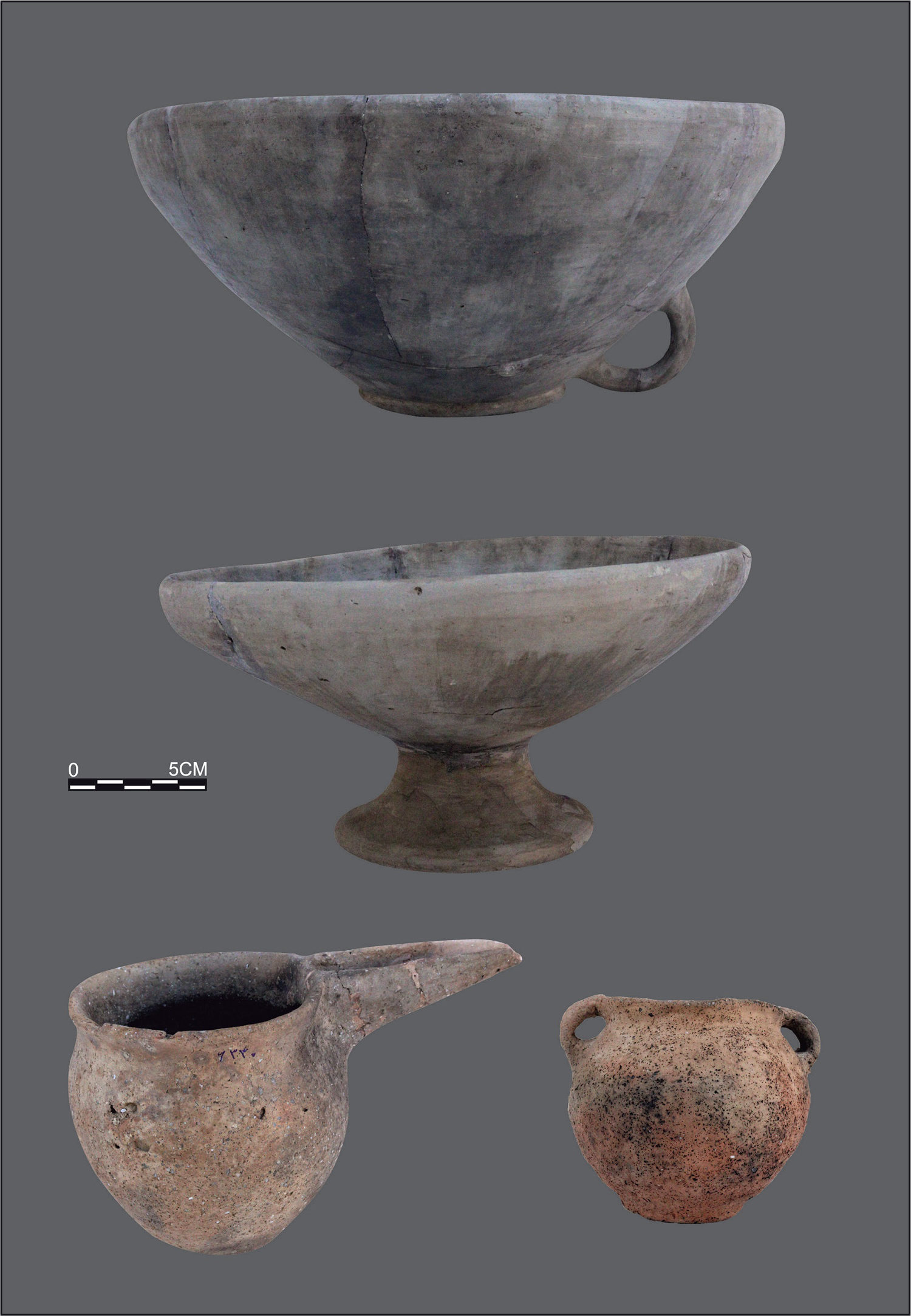
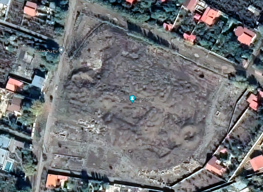
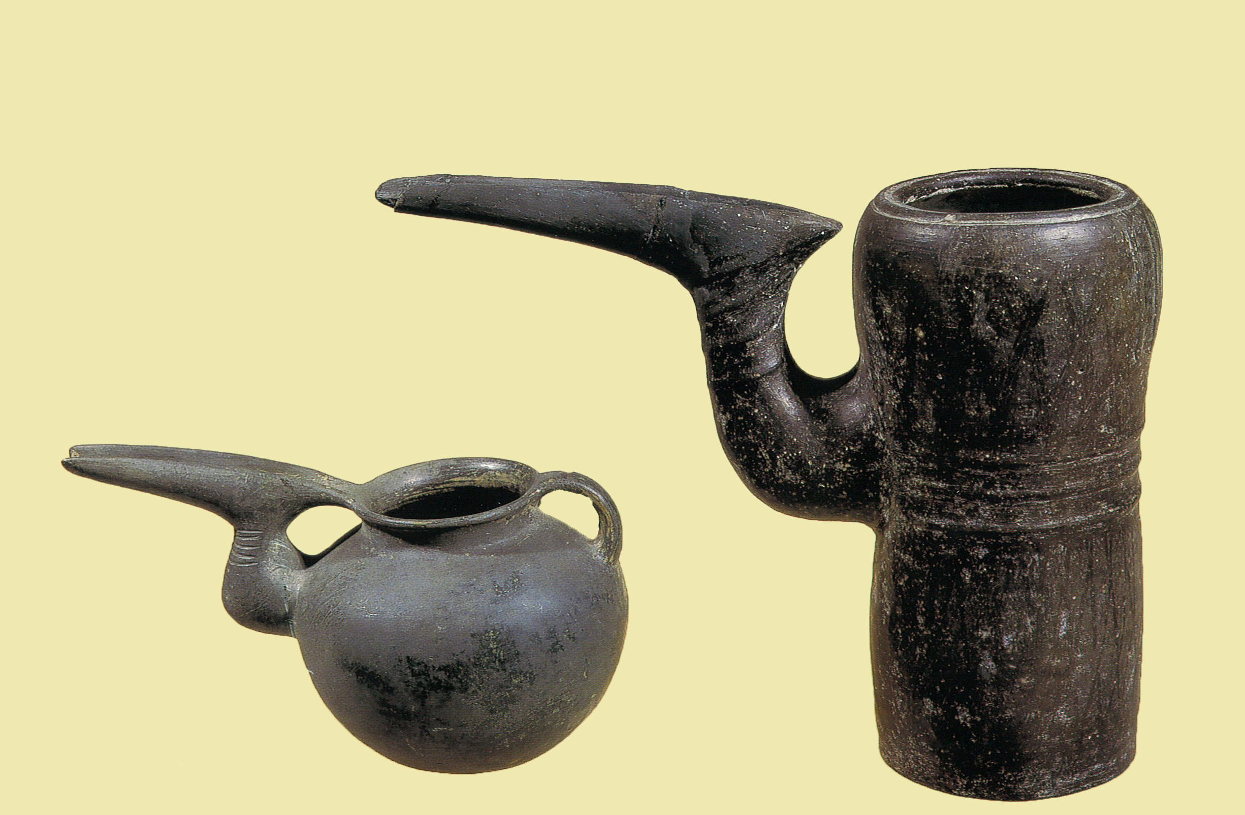
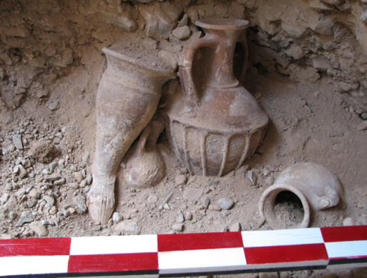
The site consists of two northern and southern mounds. The northern mound is conical and steep-sided with a diameter of 12 m above the surrounding plain. Traces of mud-brick walls exposed at the northeast corner of the mound show a building, possibly a fort. The top layers are covered with Islamic potsherds, but the 1965 survey of the site indicates a long archaeological sequence from the first millennium B.C. to the fourteenth century. Aside from fine painted red on buff-slipped potsherds, there are Achaemenid (Iron Age IV?) potsherds, and a few inverted bowl rims with one Clinky ware fragment.
Archaeological Exploration
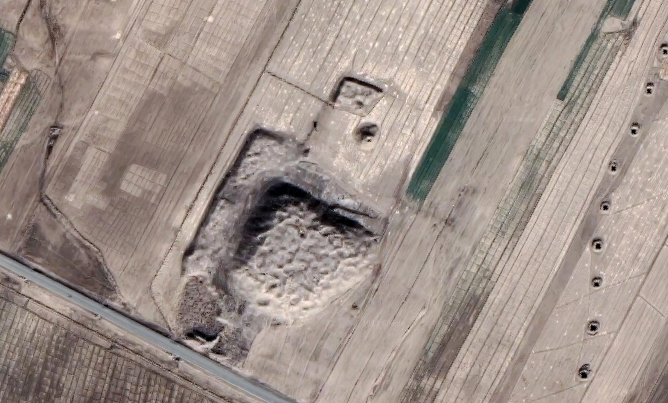
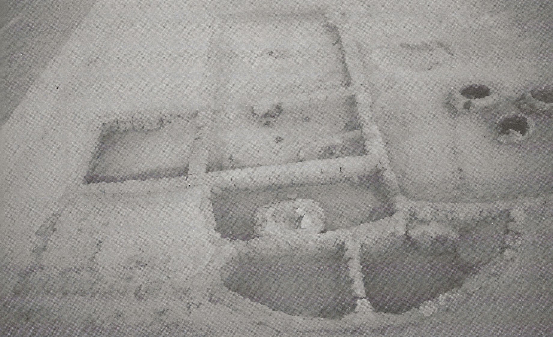
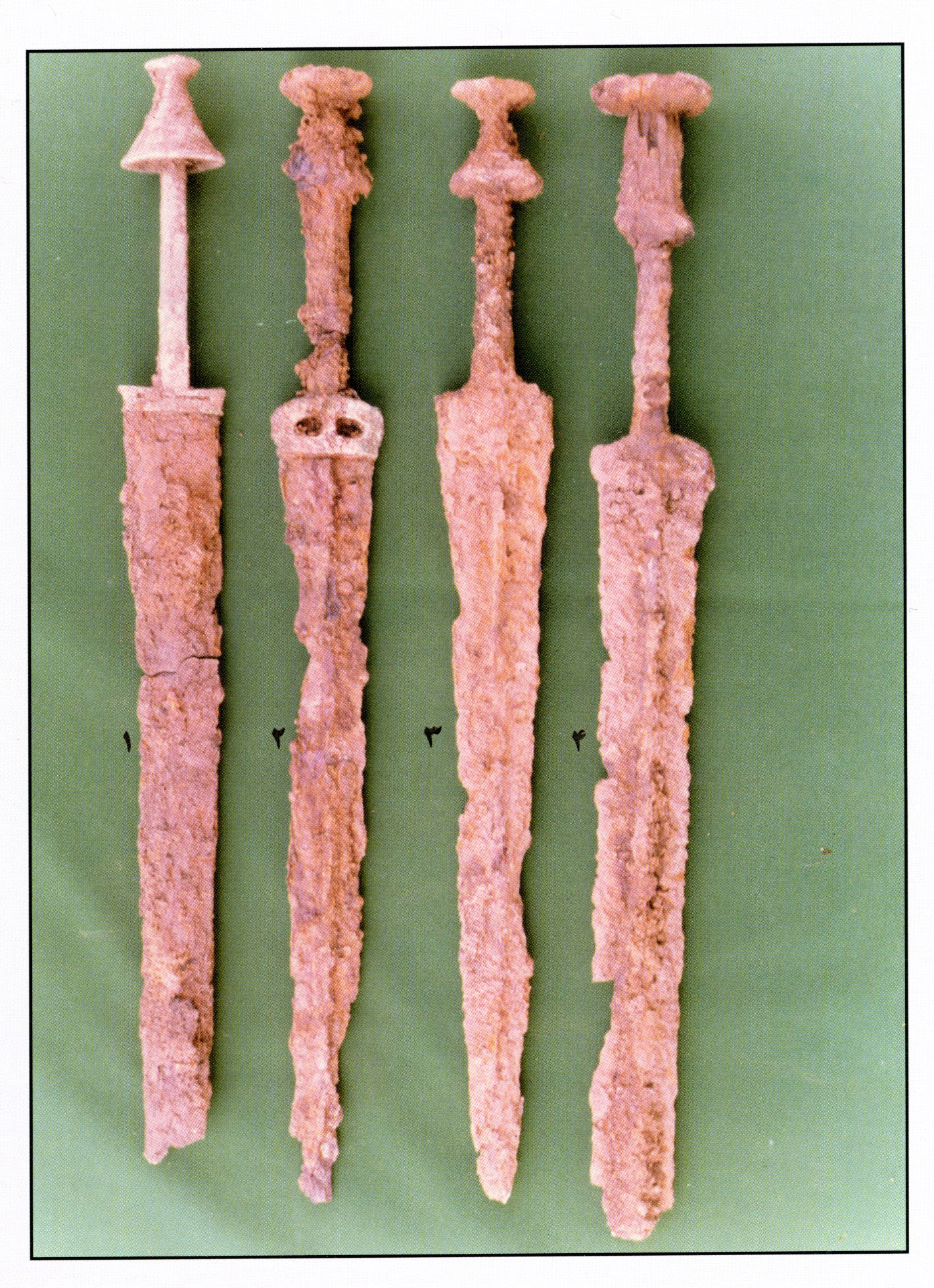
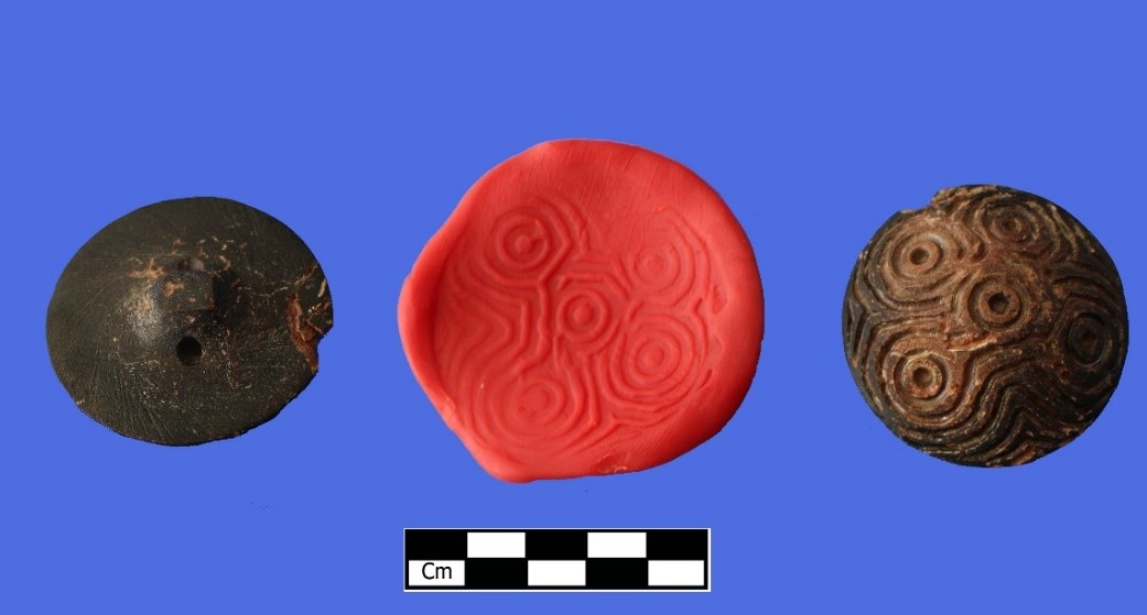
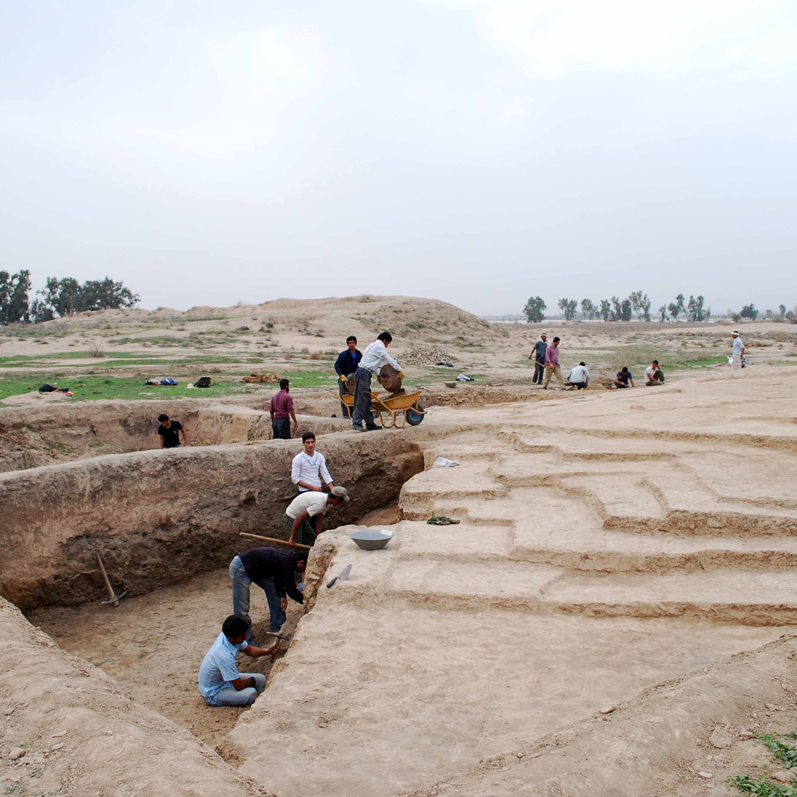
The mounds at Mashhad-e Zōlfābad were first recorded by David Stronach and Cuyler Young in their unpublished 1965 survey of western Iran. Then, in 2008, the site was the object of excavations (47 trenches) and a surface survey by Esmail Sherahi on behalf of the local branch of the Iranian Cultural Heritage and Tourism based in Arak.
Bibliography
Fasa’i, H., Fārsnāme-ye Nāseri, edited by Mansour Rastegar Fasa’i, vol. 2, Tehran, 1378 H.S./1999.
Moradiniā, J., Tarikh-e Ostān-e Markazi, Theran, 1396/2017.
Sedighian, H., E. Sherahi, S. Khaledian, “The Study of the Site of Zolfābād in Farāhān based on Archaeological Soundings and Surface Survey,” Pazhūheshhā-ye Bāstānshenāsi-ye Moddarres, Vol.1, No. 2, 1388/2009, pp. 130-142. In Persian
Stronach, D. and T. C. Young, The 1965 Archaeological Survey of Western Iran, unpublished manuscript, the David Stronach Archive, BIPS.
Author: Ali Mousavi
Originally published: December 1, 2022
Last updated: January 12, 2025

